Road Stream Crossing Site RIF_OG88
Rifle River Watershed, Ogemaw Creek triburary
Houghton, M-55
West Branch Twp,
Ogemaw County
Information collected by:
Site Location
GPS Coordinates: 44.27649
, -84.22802
T22N
R2E
Sec 29
Fish Passability 0.5
Structure is NOT Perched
Severity: Moderate
Year Inventoried: 2012
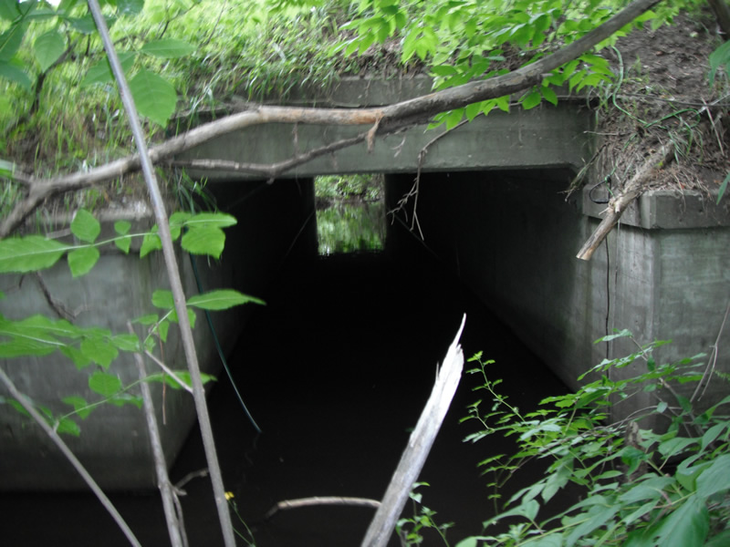
Inlet

Outlet
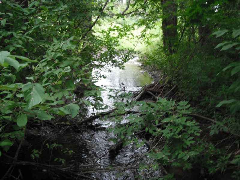
Upstream Conditions
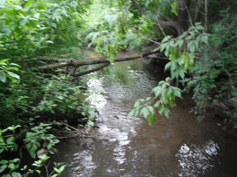
Downstream Conditions
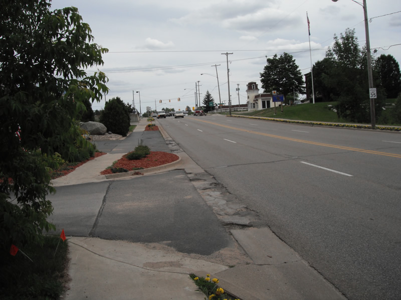
Road Approach - Left
Road Approach - Right
Crossing Information
Type of Crossing: culvert(s)
Number of Structures: 1
Structure Shape: Square/Rectangle
Inlet Type: Headwall
Outlet Type: At Stream Grade
Structure Material: Concrete
Structure Substrate: None
General Conditions: Fair
Structure Interior: smooth
Dimensions of Structure: Length 72 ft.
, Width 80 ft.
, Height 5.1 ft.
Structure is NOT Perched
Structure Inlet
Water Depth: 1.3 ft.
Embedded Depth of Structure: 0.1 ft.
Water Velocity*: 0.2 ft./sec.
Structure Outlet
Water Depth: 0.4 ft.
Embedded Depth of Structure: 1 ft.
Water Velocity*: 0.2 ft./sec.
*Water Velocities were measured at the Surface
(with Float Test)
Stream Information
Stream Flow: Less than 1/2 Bankfull
Scour Pool: Length 0 ft.
, Width 0 ft.
, Depth 0 ft.
Upstream Pond: Length 20 ft.
, Width 25 ft.
, Depth 0 ft.
Riffle Information
Water Depth: 0.3 ft.
Bankfull Width: 6.7 ft.
Wetted Width: 6 ft.
Water Velocity: 1 ft./sec.
(Measured with Float Test)
Road Information
Paved
Private Road
Road Condition: Fair
Road Width at Culvert: 45 ft.
Location of Low Point: Other
Runoff Path: Ditch
Embankments
Upstream
Fill Depth: 6.4 ft.
Slope: 1:1.5
Downstream
Fill Depth: 7 ft.
Slope: Vertical
Length: 450 ft.
Vegetation: Partial
Length: 300 ft.
Vegetation: Partial
Erosion Information
Extent of Erosion: Moderate
Notes: erosion on downstream goes down the bank
Location of Erosion | Erosion Dimensions | Eroded Material | Material Eroded | Total Erosion | ||
facing downstream | Length | Width | Depth | Reaching Stream? | (tons/year) | |
Left Upstream |
10 ft. |
12 ft. |
1.5 ft. |
yes |
Sand |
0.1155 |
Left Downstream |
5.5 ft. |
3.2 ft. |
0.2 ft. |
yes |
Sand |
0.0085 |
Right Downstream |
6.5 ft. |
50 ft. |
0.2 ft. |
yes |
Sand |
0.01 |
Summary Information
Fish Passability 0.5
�