Road Stream Crossing Site RIF_OG90
Rifle River Watershed, Ogemaw Creek
S Gray Rd
Ogemaw Twp,
Ogemaw County
Information collected by:
Site Location
GPS Coordinates: 44.27991
, -84.26687
T22N
R1E
Sec 24
Fish Passability 0
Perch Height: 1 ft.
Total Erosion: 0.442 tons/year
Severity: Severe
Year Inventoried: 2012
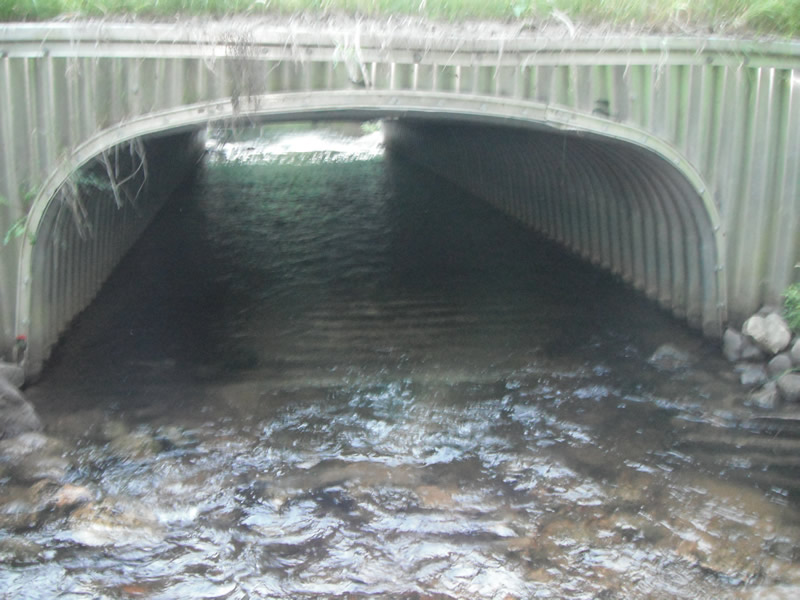
Inlet
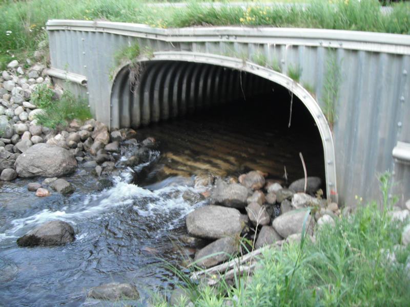
Outlet
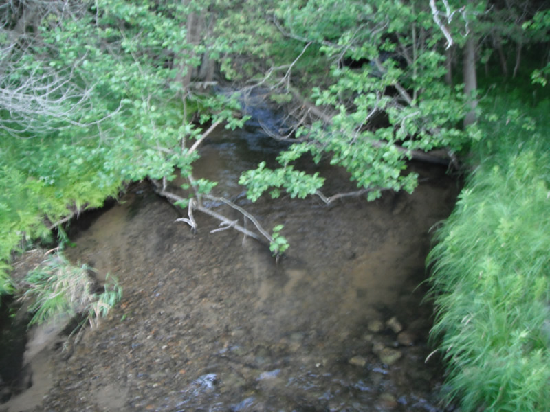
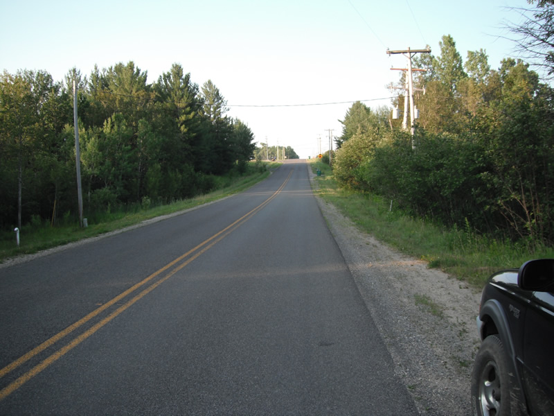
Upstream Conditions
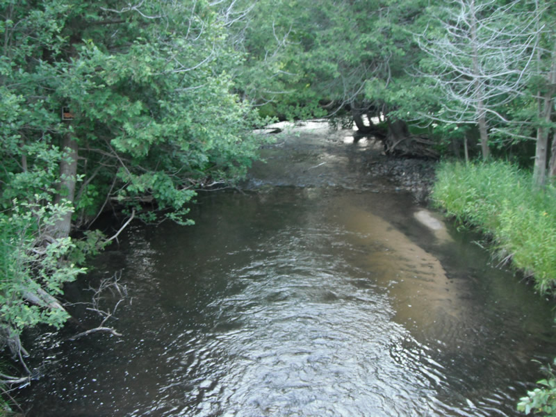
Downstream Conditions
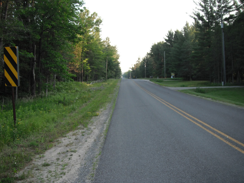
Road Approach - Left
Road Approach - Right
Crossing Information
Type of Crossing: culvert(s)
Number of Structures: 1
Structure Shape: Pipe Arch
Inlet Type: Headwall
Outlet Type: Freefall onto Riprap
Structure Material: Metal
Structure Substrate: None
General Conditions: Fair
Structure Interior: corrugated
Dimensions of Structure: Length 51 ft.
, Width 12.9 ft.
, Height 5.8 ft.
Perch Height: 1 ft.
Structure Inlet
Water Depth: 1 ft.
Embedded Depth of Structure: 0 ft.
Water Velocity*: 0.7 ft./sec.
Structure Outlet
Water Depth: 0.8 ft.
Embedded Depth of Structure: 0 ft.
Water Velocity*: 3 ft./sec.
*Water Velocities were measured at the Surface
(with Float Test)
Stream Information
Stream Flow: Less than 1/2 Bankfull
Scour Pool: Length 60 ft.
, Width 39 ft.
, Depth 18.5 ft.
Upstream Pond: Length 0 ft.
, Width 0 ft.
, Depth 0 ft.
Riffle Information
Water Depth: 0.4 ft.
Bankfull Width: 19.1 ft.
Wetted Width: 18.5 ft.
Water Velocity: 1 ft./sec.
(Measured with Float Test)
Dominant Substrate: Gravel
Road Information
Paved
County Road
Road Condition: Good
Road Width at Culvert: 24 ft.
Location of Low Point: At Stream
Runoff Path: Ditch
Embankments
Upstream
Fill Depth: 2 ft.
Slope: Vertical
Downstream
Fill Depth: 2 ft.
Slope: Vertical
Approaches
Left Approach
Length: 312 ft.
Slope: 1% to 5%
Vegetation: Heavy
LS Factor: 0.462
Erosion: 0.1145 tons/year
Right Approach
Length: 759 ft.
Slope: 1% to 5%
Vegetation: Heavy
LS Factor: 0.544
Erosion: 0.3275 tons/year
Erosion Information
Total Erosion at Crossing: 0.442 tons/year
Extent of Erosion: Stabilized
Erosion is occurring and corrective actions can be installed to address the problem.
Summary Information
Fish Passability 0
Fish Passage is an area of concern for this site.
perched culvert and water velocity
A future visit to this site is recommended. fish passage
�