Road Stream Crossing Site RIF_OG33
Rifle River Watershed, Tributary of Prior Creek
Cumming Twp,
Ogemaw County
Information collected by:
Site Location
GPS Coordinates: 44.38104
, -84.12627
T23N
R3E
Sec 18
Fish Passability 0
Perch Height: 2.4 ft.
Total Erosion: 11.3562 tons/year
Severity: Severe
Year Inventoried: 2012
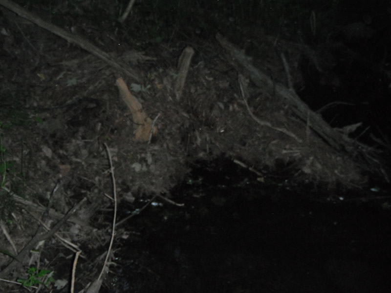
Inlet
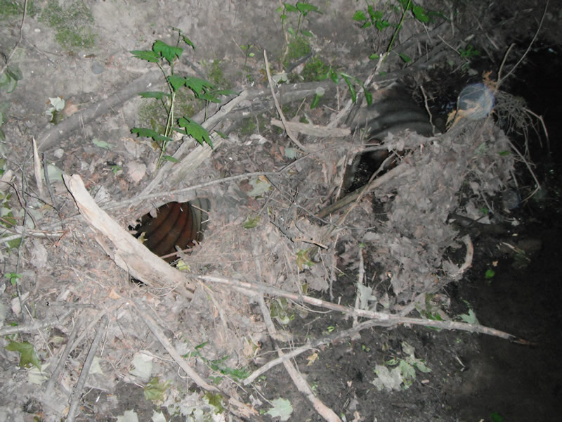
Inlet

Outlet
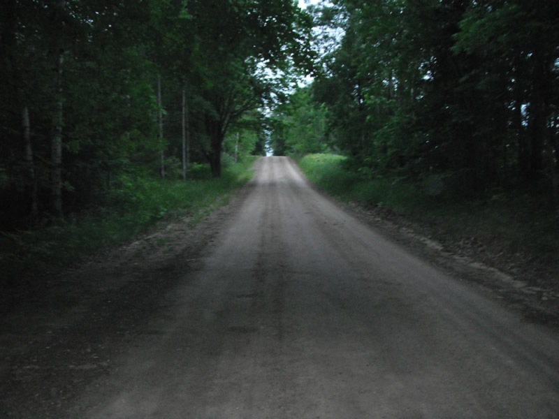
Upstream Conditions
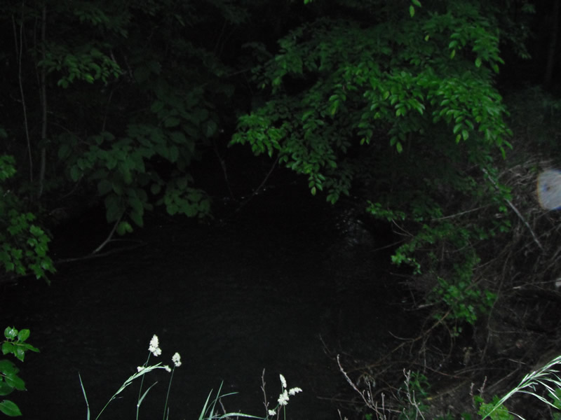
Downstream Conditions
Road Approach - Left
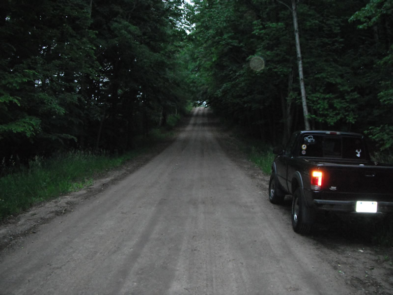
Road Approach - Right
Crossing Information
Type of Crossing: culvert(s)
Number of Structures: 3
Structure Shape: Pipe Arch
Inlet Type: Projecting
Outlet Type: Freefall into Pool
Structure Material: Metal
Structure Substrate: None
General Conditions: Poor
Multiple Culverts/Spans | ||||
Culvert/Span | Width | Length | Height | Material |
2 |
2 ft. |
46 ft. |
2 ft. |
Metal |
3 |
2 ft. |
46 ft. |
2 ft. |
Metal |
Structure Interior: corrugated
Dimensions of Structure: Length 45 ft.
, Width 3.7 ft.
, Height 2.8 ft.
Perch Height: 2.4 ft.
Structure Inlet
Water Depth: 0.6 ft.
Embedded Depth of Structure: 0 ft.
Water Velocity*: 11 ft./sec.
Structure Outlet
Water Depth: 0.2 ft.
Embedded Depth of Structure: 0 ft.
Water Velocity*: 2.5 ft./sec.
*Water Velocities were measured at the Surface
(with Float Test)
Stream Information
Stream Flow: Less than 1/2 Bankfull
Scour Pool: Length 24 ft.
, Width 27 ft.
, Depth 2 ft.
Upstream Pond: Length 9.2 ft.
, Width 20 ft.
, Depth 0 ft.
Riffle Information
Water Depth: 0.2 ft.
Bankfull Width: 12.4 ft.
Wetted Width: 7.8 ft.
Water Velocity: 0.7 ft./sec.
(Measured with Float Test)
Dominant Substrate: Gravel
Road Information
Gravel
County Road
Road Condition: Fair
Road Width at Culvert: 14 ft.
Location of Low Point: At Stream
Runoff Path: Ditch
Embankments
Upstream
Fill Depth: 2.4 ft.
Slope: 1:1.5
Downstream
Fill Depth: 3 ft.
Slope: 1:1.5
Approaches
Left Approach
Length: 477 ft.
Slope: 6% to 10%
Vegetation: Heavy
LS Factor: 1.611
Erosion: 2.9634 tons/year
Right Approach
Length: 487 ft.
Slope: More Than 10%
Vegetation: Heavy
LS Factor: 4.296
Erosion: 8.069 tons/year
Erosion Information
Total Erosion at Crossing: 11.3562 tons/year
Extent of Erosion: Severe
Notes: the bank on both sides and the on the top of both ups and ds sides of the stream
Location of Erosion | Erosion Dimensions | Eroded Material | Material Eroded | Total Erosion | ||
facing downstream | Length | Width | Depth | Reaching Stream? | (tons/year) | |
Left Downstream |
4.4 ft. |
40 ft. |
3.2 ft. |
yes |
Gravel |
0.2816 |
Left Upstream |
4.8 ft. |
24 ft. |
0.4 ft. |
yes |
Sand |
0.0422 |
Summary Information
Fish Passability 0
Fish Passage is an area of concern for this site.
perch culvert and serve erosion
A future visit to this site is recommended. just about everything is wrong, erosion and fish passage, plugged culverts
�