Road Stream Crossing Site RIF_OG42
Rifle River Watershed, Prior Creek
Sage Lake Rd
Cumming Twp,
Ogemaw County
Information collected by:
Site Location
GPS Coordinates: 44.36342
, -84.08172
T23N
R3E
Sec 28
Fish Passability 0.9
Structure is NOT Perched
Total Erosion: 0.0706 tons/year
Severity: Moderate
Year Inventoried: 2012
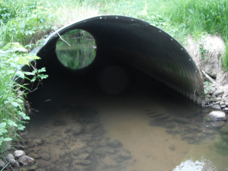
Inlet
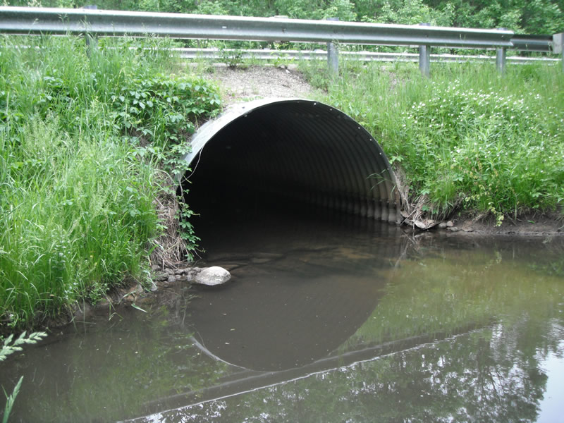
Outlet
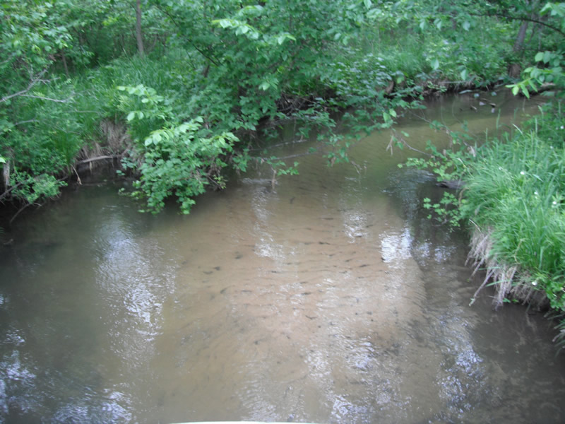
Upstream Conditions
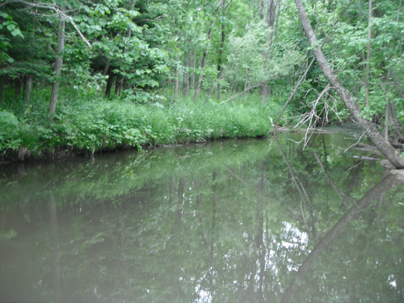
Downstream Conditions
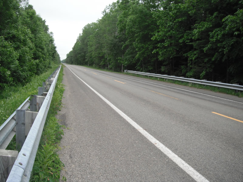
Road Approach - Left
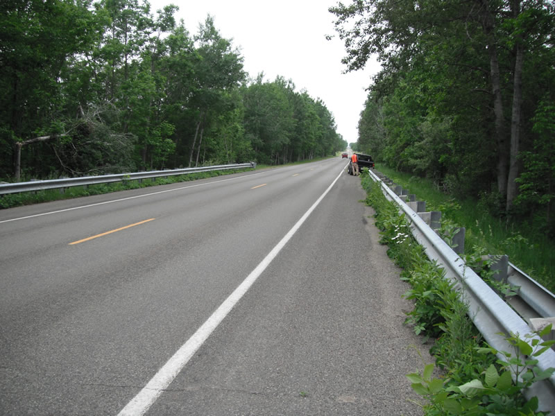
Road Approach - Right
Crossing Information
Type of Crossing: culvert(s)
Number of Structures: 1
Structure Shape: Pipe Arch
Inlet Type: Projecting
Outlet Type: At Stream Grade
Structure Material: Metal
Structure Substrate: Sand
General Conditions: Fair
Structure Interior: corrugated
Dimensions of Structure: Length 50 ft.
, Width 10.5 ft.
, Height 6.9 ft.
Structure is NOT Perched
Structure Inlet
Water Depth: 1.8 ft.
Embedded Depth of Structure: 0.9 ft.
Water Velocity*: 0.8 ft./sec.
Structure Outlet
Water Depth: 1.7 ft.
Embedded Depth of Structure: 0.4 ft.
Water Velocity*: 0.8 ft./sec.
*Water Velocities were measured at the Surface
(with Float Test)
Stream Information
Stream Flow: Less than 1/2 Bankfull
Scour Pool: Length 35 ft.
, Width 26 ft.
, Depth 3.5 ft.
Upstream Pond: Length 22.5 ft.
, Width 21.3 ft.
, Depth 0 ft.
Riffle Information
Water Depth: 0.6 ft.
Bankfull Width: 20.7 ft.
Wetted Width: 18.7 ft.
Water Velocity: 1.3 ft./sec.
(Measured with Float Test)
Dominant Substrate: Cobble
Road Information
Paved
County Road
Road Condition: Good
Road Width at Culvert: 21 ft.
Location of Low Point: At Stream
Runoff Path: Ditch
Embankments
Upstream
Fill Depth: 1.7 ft.
Slope: More than 1:2
Downstream
Fill Depth: 1 ft.
Slope: More than 1:2
Approaches
Left Approach
Length: 1000 ft.
Slope: Less Than 1%
Vegetation: Heavy
LS Factor: 0.05
Erosion: 0.0347 tons/year
Right Approach
Length: 1000 ft.
Slope: Less Than 1%
Vegetation: Heavy
LS Factor: 0.05
Erosion: 0.0347 tons/year
Erosion Information
Total Erosion at Crossing: 0.0706 tons/year
Extent of Erosion: Minor
Erosion is occurring and corrective actions can be installed to address the problem.
Notes: upstreamside of culvert fixed with rock riprap
Location of Erosion | Erosion Dimensions | Eroded Material | Material Eroded | Total Erosion | ||
facing downstream | Length | Width | Depth | Reaching Stream? | (tons/year) | |
Left Upstream |
6.1 ft. |
2.9 ft. |
0.1 ft. |
no |
Gravel |
0.0006 |
Left Upstream |
5.6 ft. |
10.2 ft. |
0.1 ft. |
no |
Gravel |
0.0006 |
Summary Information
Fish Passability 0.9
�