Road Stream Crossing Site RIF_OG46
Rifle River Watershed, Rifle River
Peters Rd
Churchill Twp,
Ogemaw County
Information collected by:
Site Location
GPS Coordinates: 44.33475
, -84.06341
T22N
R3E
Sec 3
Fish Passability 0.5
Severity: Moderate
Year Inventoried: 2012
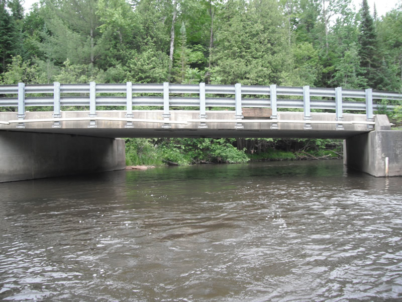
Inlet
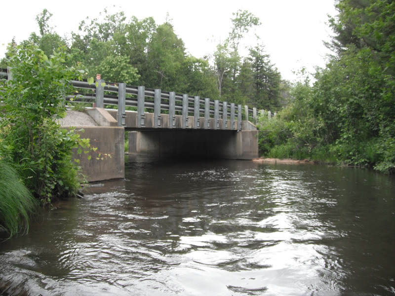
Outlet
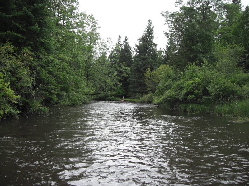
Upstream Conditions
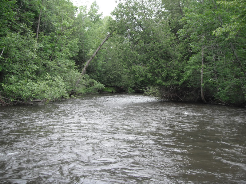
Downstream Conditions

Road Approach - Left
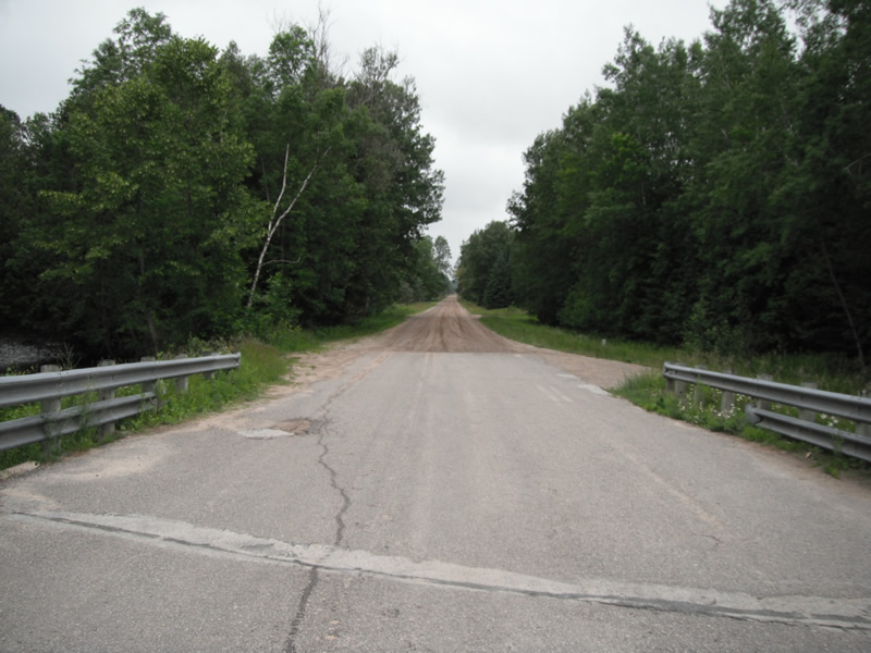
Road Approach - Right
Crossing Information
Type of Crossing: Bridge
Structure Shape: Open Bottom Square/Rectangle
Inlet Type: Other
Outlet Type: At Stream Grade
Structure Material: Concrete
Structure Substrate: Mixture
General Conditions: Good
Dimensions of Structure: Length 30 ft.
, Width 50 ft.
, Height 8.5 ft.
Structure Inlet
Water Depth: 3.6 ft.
Water Velocity*: 2 ft./sec.
Structure Outlet
Water Depth: 2.5 ft.
Water Velocity*: 2 ft./sec.
*Water Velocities were measured at the Surface
(with Float Test)
Stream Information
Stream Flow: Less than 1/2 Bankfull
Scour Pool: Length 0 ft.
, Width 0 ft.
, Depth 0 ft.
Upstream Pond: Length 0 ft.
, Width 0 ft.
, Depth 0 ft.
Riffle Information
Water Depth: 1.3 ft.
Bankfull Width: 51 ft.
Wetted Width: 48 ft.
Water Velocity: 2 ft./sec.
(Measured with Float Test)
Dominant Substrate: Cobble
Road Information
Gravel
County Road
Road Width at Culvert: 28 ft.
Location of Low Point: Other
Runoff Path: Roadway
Embankments
Upstream
Fill Depth: 2.5 ft.
Slope: Vertical
Downstream
Fill Depth: 2 ft.
Slope: Vertical
Length: 336 ft.
Slope: 1% to 5%
Vegetation: Heavy
Vegetation: Heavy
Erosion Information
Extent of Erosion: Minor
Summary Information
Fish Passability 0.5
�