Road Stream Crossing Site RIF_OG50
Rifle River Watershed, Klacking Creek
M-33
Churchill Twp,
Ogemaw County
Information collected by:
Site Location
GPS Coordinates: 44.33142
, -84.12559
T22N
R3E
Sec 6
Fish Passability 1
Structure is NOT Perched
Total Erosion: 1.1042 tons/year
Severity: Moderate
Year Inventoried: 2012

Inlet
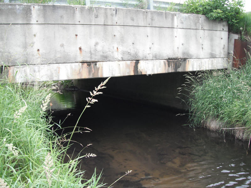
Outlet
Upstream Conditions
Downstream Conditions
Road Approach - Left
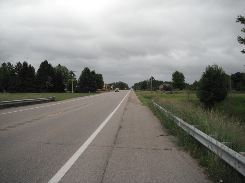
Road Approach - Right
Crossing Information
Type of Crossing: culvert(s)
Number of Structures: 1
Structure Shape: Open Bottom Square/Rectangle
Inlet Type: Headwall
Outlet Type: At Stream Grade
Structure Material: Concrete
Structure Substrate: Sand
General Conditions: Fair
Structure Interior: smooth
Dimensions of Structure: Length 45 ft.
, Width 24 ft.
, Height 7.1 ft.
Structure is NOT Perched
Structure Inlet
Water Depth: 1.9 ft.
Water Velocity*: 0.9 ft./sec.
Structure Outlet
Water Depth: 1.7 ft.
Water Velocity*: 0.9 ft./sec.
*Water Velocities were measured at the Surface
(with Float Test)
Stream Information
Stream Flow: Less than 1/2 Bankfull
Scour Pool: Length 0 ft.
, Width 0 ft.
, Depth 0 ft.
Upstream Pond: Length 0 ft.
, Width 0 ft.
, Depth 0 ft.
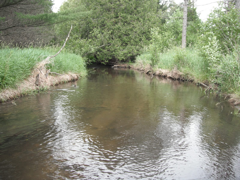
Riffle Information
Water Depth: 1.4 ft.
Bankfull Width: 21 ft.
Wetted Width: 19 ft.
Water Velocity: 0.8 ft./sec.
(Measured with Float Test)
Dominant Substrate: Sand
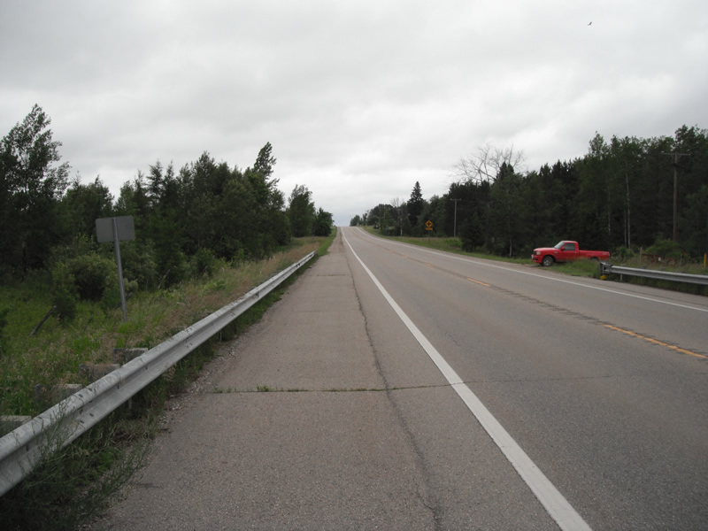
Road Information
Paved
State Road
Road Condition: Good
Road Width at Culvert: 30 ft.
Location of Low Point: Other
Runoff Path: Ditch
Embankments
Upstream
Fill Depth: 5.6 ft.
Slope: Vertical
Downstream
Fill Depth: 6 ft.
Slope: Vertical
Approaches
Left Approach
Length: 1000 ft.
Slope: 1% to 5%
Vegetation: Heavy
LS Factor: 0.57
Erosion: 0.5653 tons/year
Right Approach
Length: 960 ft.
Slope: 1% to 5%
Vegetation: Heavy
LS Factor: 0.566
Erosion: 0.5389 tons/year
Erosion Information
Total Erosion at Crossing: 1.1042 tons/year
Summary Information
Fish Passability 1
These non-native species were observerd at this site: Spotted Knapweed
�