Road Stream Crossing Site RIF_OG104
Rifle River Watershed, Hardwood Creek
Morrison Rd
Mills Twp,
Ogemaw County
Information collected by:
Site Location
GPS Coordinates: 44.19975
, -84.105
T21N
R3E
Sec 20
Fish Passability 0
Perch Height: 0.1 ft.
Total Erosion: 5.0223 tons/year
Severity: Severe
Year Inventoried: 2012
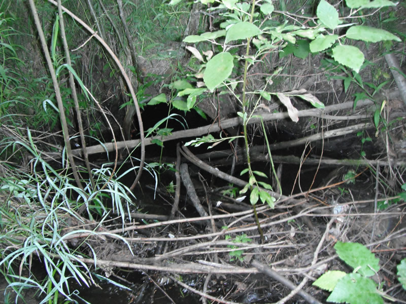
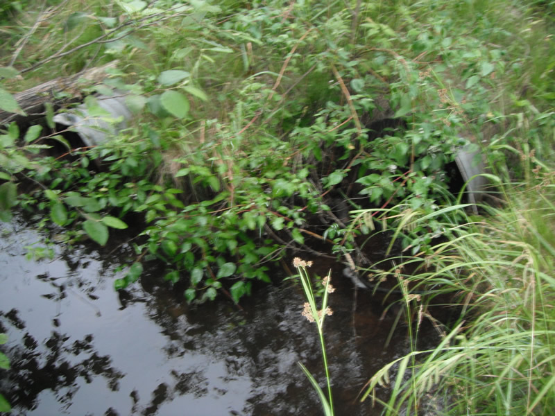
Inlet
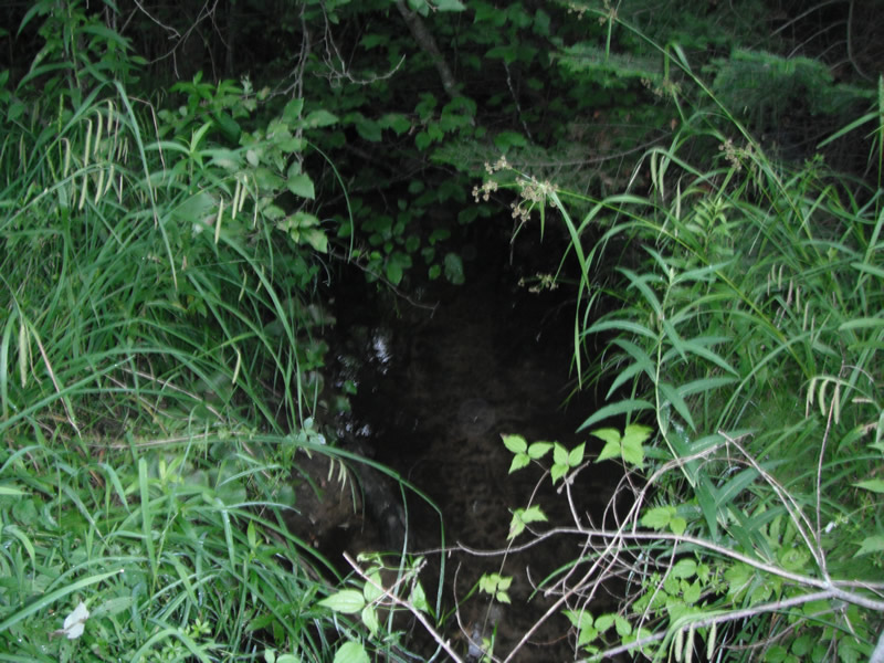
Outlet
Upstream Conditions
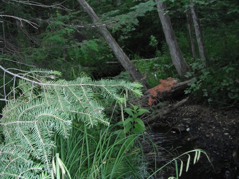
Downstream Conditions
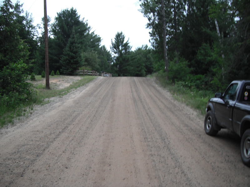
Road Approach - Left
Road Approach - Right
Crossing Information
Type of Crossing: culvert(s)
Number of Structures: 2
Structure Shape: Round
Inlet Type: Projecting
Outlet Type: Freefall into Pool
Structure Material: Metal
Structure Substrate: None
General Conditions: Poor
Multiple Culverts/Spans | ||||
Culvert/Span | Width | Length | Height | Material |
2 |
1.6 ft. |
38 ft. |
1.6 ft. |
Metal |
Structure Interior: corrugated
Dimensions of Structure: Length 36 ft.
, Width 2 ft.
, Height 2 ft.
Perch Height: 0.1 ft.
Structure Inlet
Water Depth: 0.9 ft.
Embedded Depth of Structure: 0 ft.
Water Velocity*: 0.3 ft./sec.
Structure Outlet
Water Depth: 0.1 ft.
Embedded Depth of Structure: 0 ft.
Water Velocity*: 1 ft./sec.
*Water Velocities were measured at the Surface
(with Float Test)
Stream Information
Stream Flow: Less than 1/2 Bankfull
Scour Pool: Length 12.7 ft.
, Width 11.8 ft.
, Depth 4.7 ft.
Upstream Pond: Length 5.1 ft.
, Width 11.2 ft.
, Depth 0 ft.
Riffle Information
Water Depth: 0.2 ft.
Bankfull Width: 6.1 ft.
Wetted Width: 4.7 ft.
Water Velocity: 0.5 ft./sec.
(Measured with Float Test)
Dominant Substrate: Sand
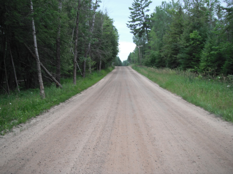
Road Information
Gravel
County Road
Road Condition: Fair
Road Width at Culvert: 20 ft.
Location of Low Point: At Stream
Runoff Path: Ditch
Embankments
Upstream
Fill Depth: 2.7 ft.
Slope: 1:2
Downstream
Fill Depth: 2 ft.
Slope: 1:2
Approaches
Left Approach
Length: 171 ft.
Slope: 6% to 10%
Vegetation: Heavy
LS Factor: 1.166
Erosion: 1.0987 tons/year
Right Approach
Length: 450 ft.
Slope: 6% to 10%
Vegetation: Heavy
LS Factor: 1.583
Erosion: 3.9236 tons/year
Erosion Information
Total Erosion at Crossing: 5.0223 tons/year
Extent of Erosion: Stabilized
Summary Information
Fish Passability 0
Fish Passage is an area of concern for this site.
perched culvert
A future visit to this site is recommended. two perched culverts
�