Road Stream Crossing Site RIF_OG105
Rifle River Watershed, Pather Creek/Chanlders Creek
Rifle River Trail
Mills Twp,
Ogemaw County
Information collected by:
Site Location
GPS Coordinates: 44.22543
, -84.06489
T21N
R3E
Sec 10
Fish Passability 0
Perch Height: 0.5 ft.
Total Erosion: 0.6082 tons/year
Severity: Severe
Year Inventoried: 2012
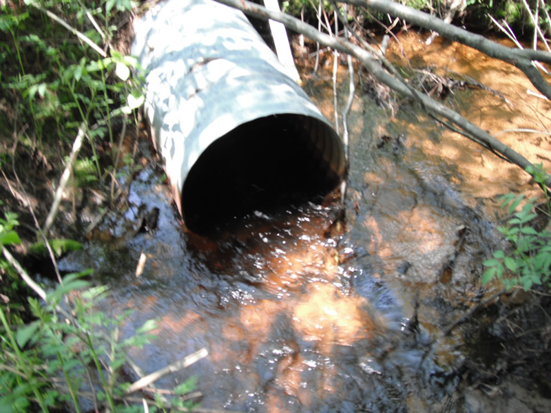
Inlet
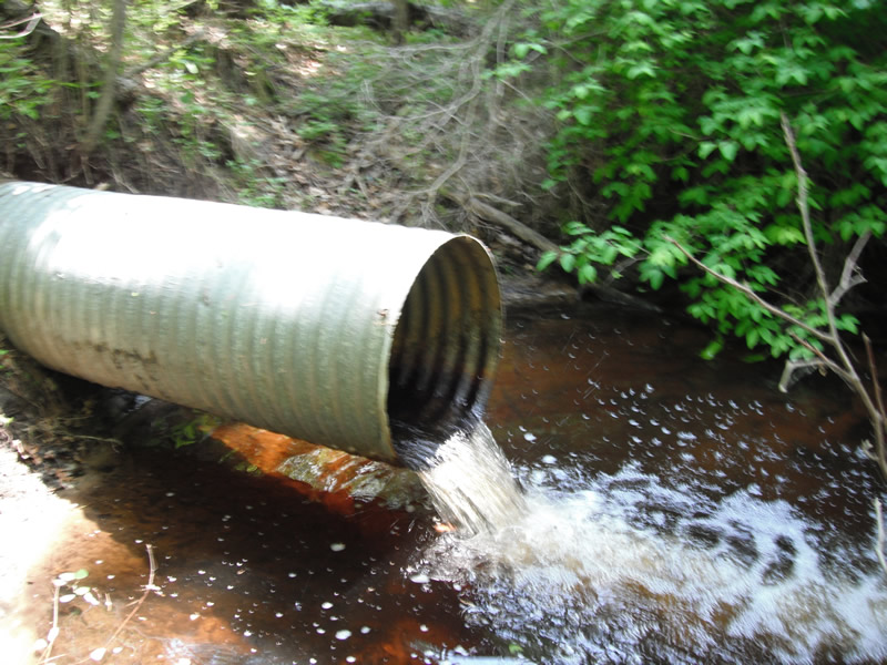
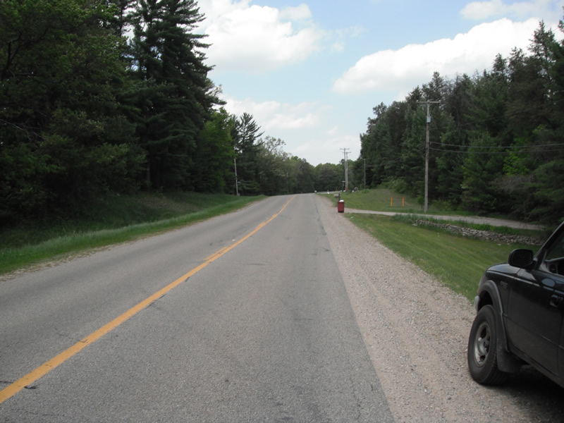
Outlet
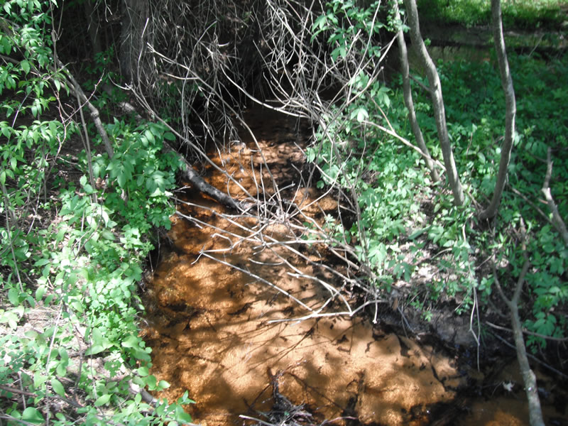
Upstream Conditions
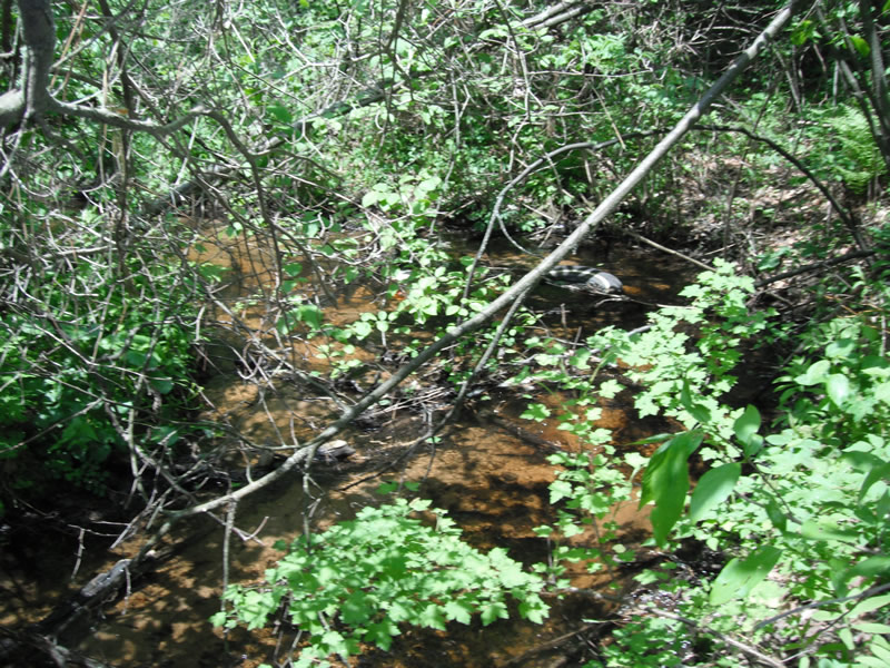
Downstream Conditions
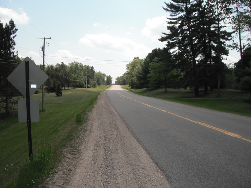
Road Approach - Left
Road Approach - Right
Crossing Information
Type of Crossing: culvert(s)
Number of Structures: 1
Structure Shape: Round
Inlet Type: Projecting
Outlet Type: Freefall into Pool
Structure Material: Metal
Structure Substrate: None
General Conditions: Fair
Structure Interior: corrugated
Dimensions of Structure: Length 120 ft.
, Width 2 ft.
, Height 0.5 ft.
Perch Height: 0.5 ft.
Structure Inlet
Water Depth: 0.6 ft.
Embedded Depth of Structure: 0 ft.
Water Velocity*: 0.3 ft./sec.
Structure Outlet
Water Depth: 0.3 ft.
Embedded Depth of Structure: 0 ft.
Water Velocity*: 5.3 ft./sec.
*Water Velocities were measured 0.4 ft. below Surface
(with Meter)
Stream Information
Stream Flow: Less than 1/2 Bankfull
Scour Pool: Length 18.5 ft.
, Width 16 ft.
, Depth 3 ft.
Upstream Pond: Length 5.2 ft.
, Width 5.5 ft.
, Depth 0 ft.
Riffle Information
Water Depth: 0.3 ft.
Bankfull Width: 11 ft.
Wetted Width: 7.2 ft.
Water Velocity: 0.9 ft./sec.
(Measured with Meter)
Dominant Substrate: Sand
Road Information
Paved
County Road
Road Condition: Good
Road Width at Culvert: 22.8 ft.
Location of Low Point: At Stream
Runoff Path: Ditch
Embankments
Upstream
Fill Depth: 15 ft.
Slope: 1:2
Downstream
Fill Depth: 20 ft.
Slope: 1:2
Approaches
Left Approach
Length: 1000 ft.
Slope: 1% to 5%
Vegetation: Heavy
LS Factor: 0.57
Erosion: 0.4296 tons/year
Right Approach
Length: 382 ft.
Slope: 1% to 5%
Vegetation: Heavy
LS Factor: 0.476
Erosion: 0.1372 tons/year
Erosion Information
Total Erosion at Crossing: 0.6082 tons/year
Extent of Erosion: Minor
Location of Erosion | Erosion Dimensions | Eroded Material | Material Eroded | Total Erosion | ||
facing downstream | Length | Width | Depth | Reaching Stream? | (tons/year) | |
Right Upstream |
1.6 ft. |
13 ft. |
2 ft. |
yes |
Sand |
0.0035 |
Left Upstream |
8.4 ft. |
3.4 ft. |
1 ft. |
yes |
Sand |
0.0092 |
Right Downstream |
5 ft. |
5 ft. |
0.5 ft. |
yes |
Sand |
0.0028 |
Left Downstream |
11.2 ft. |
9.9 ft. |
2.1 ft. |
yes |
Sand |
0.0259 |
Summary Information
Fish Passability 0
Fish Passage is an area of concern for this site.
perced culvert and hoh vel
A future visit to this site is recommended. fish passage
�