Road Stream Crossing Site RIF_OG114
Rifle River Watershed, Mud Creek
Henderson Lake Rd
Mills Twp,
Ogemaw County
Information collected by:
Site Location
GPS Coordinates: 44.18126
, -84.00501
T21N
R3E
Sec 25
Fish Passability 0.5
Structure is NOT Perched
Total Erosion: 2.4022 tons/year
Severity: Moderate
Year Inventoried: 2012
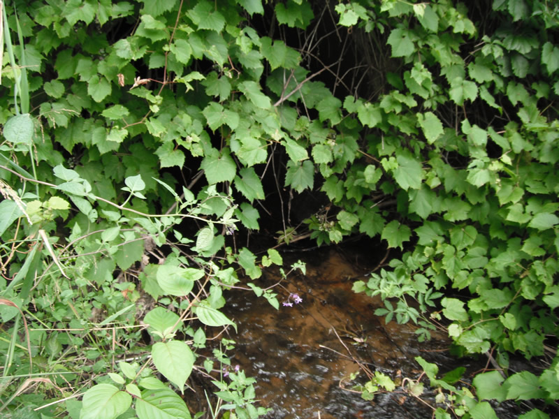
Inlet
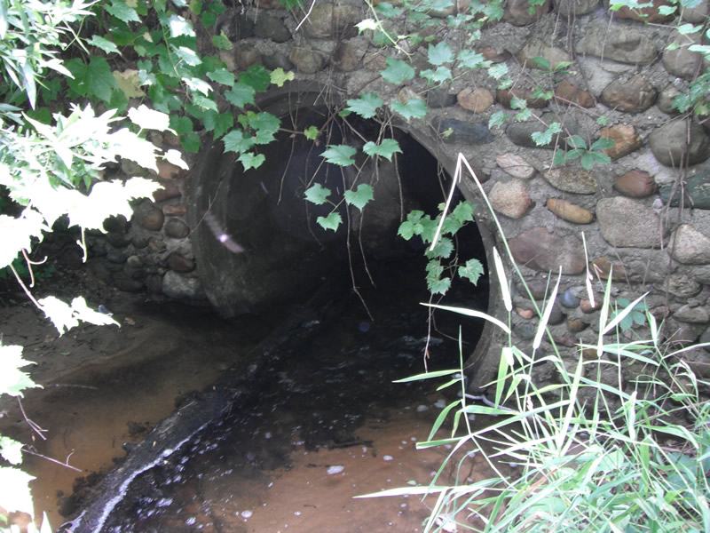
Outlet
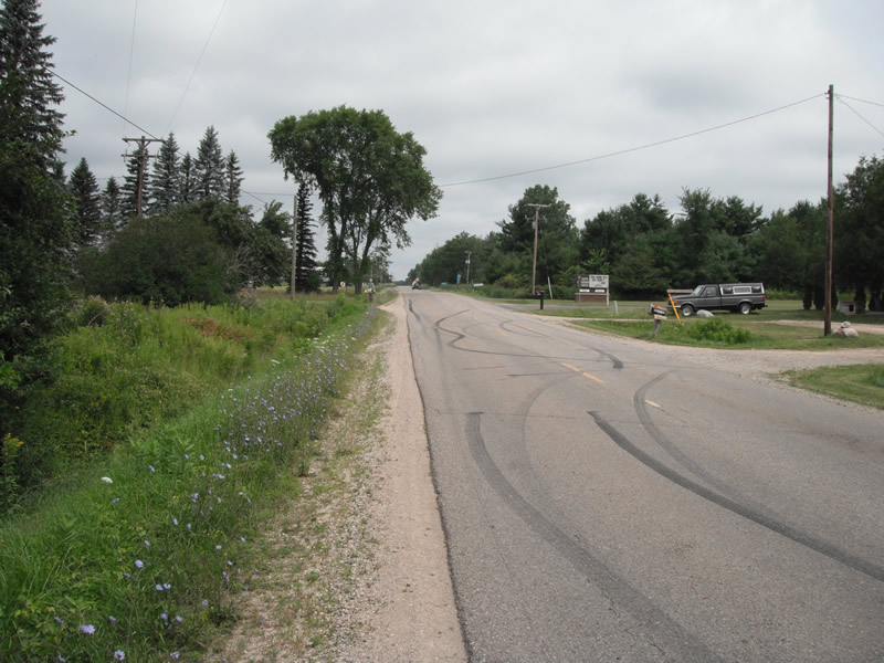
Upstream Conditions
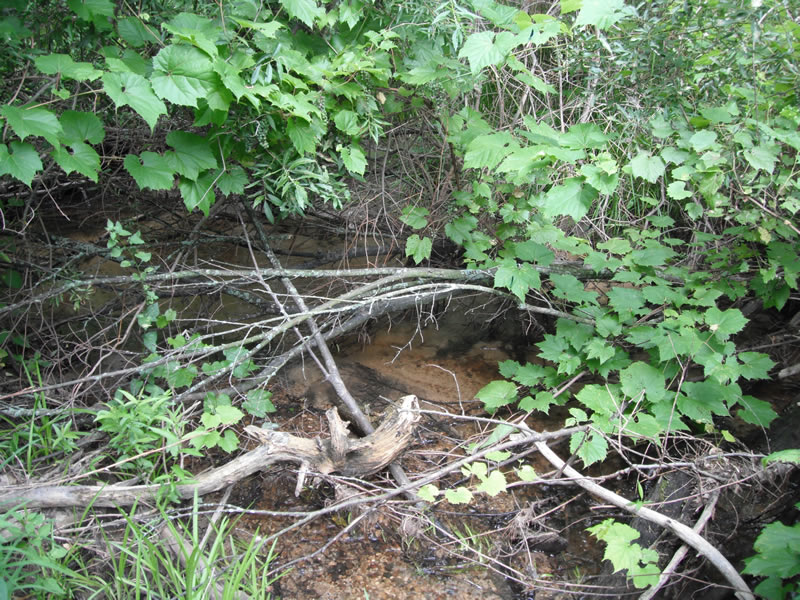
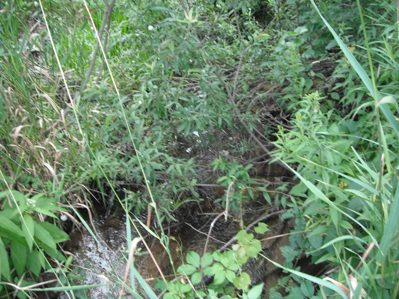
Downstream Conditions
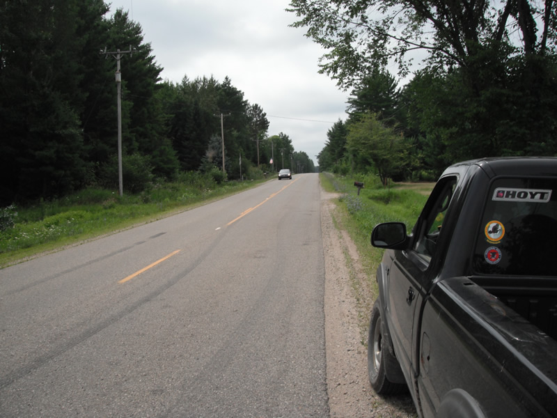
Road Approach - Left
Road Approach - Right
Crossing Information
Type of Crossing: culvert(s)
Number of Structures: 1
Structure Shape: Round
Inlet Type: Headwall
Outlet Type: At Stream Grade
Structure Material: Concrete
Structure Substrate: Sand
General Conditions: Poor
Structure Interior: smooth
Dimensions of Structure: Length 51 ft.
, Width 4.6 ft.
, Height 5 ft.
Structure is NOT Perched
Structure Inlet
Water Depth: 0.3 ft.
Embedded Depth of Structure: 0.1 ft.
Water Velocity*: 1.5 ft./sec.
Structure Outlet
Water Depth: 0.3 ft.
Embedded Depth of Structure: 0.2 ft.
Water Velocity*: 2 ft./sec.
*Water Velocities were measured at the Surface
(with Float Test)
Stream Information
Stream Flow: Less than 1/2 Bankfull
Scour Pool: Length 8.7 ft.
, Width 6.1 ft.
, Depth 0.8 ft.
Upstream Pond: Length 0 ft.
, Width 0 ft.
, Depth 0 ft.
Riffle Information
Water Depth: 0.5 ft.
Bankfull Width: 6.7 ft.
Wetted Width: 5.5 ft.
Water Velocity: 1 ft./sec.
(Measured with Float Test)
Dominant Substrate: Sand
Road Information
Gravel
County Road
Road Condition: Poor
Road Width at Culvert: 20 ft.
Location of Low Point: At Stream
Runoff Path: Ditch
Embankments
Upstream
Fill Depth: 4.4 ft.
Slope: Vertical
Downstream
Fill Depth: 6 ft.
Slope: Vertical
Approaches
Left Approach
Length: 364 ft.
Slope: 1% to 5%
Vegetation: Heavy
LS Factor: 0.473
Erosion: 0.9482 tons/year
Right Approach
Length: 523 ft.
Slope: 1% to 5%
Vegetation: Heavy
LS Factor: 0.505
Erosion: 1.454 tons/year
Erosion Information
Total Erosion at Crossing: 2.4022 tons/year
Extent of Erosion: Stabilized
Notes: headwall very heavy vegatation
Summary Information
Fish Passability 0.5
�