Road Stream Crossing Site RIF_OG116
Rifle River Watershed, Spring Creek
Henderson Lake Rd
Mills Twp,
Ogemaw County
Information collected by:
Site Location
GPS Coordinates: 44.17025
, -84.00497
T21N
R3E
Sec 36
Fish Passability 0
Perch Height: 1.5 ft.
Total Erosion: 0.5661 tons/year
Severity: Severe
Year Inventoried: 2012
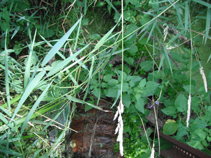
Inlet
Outlet
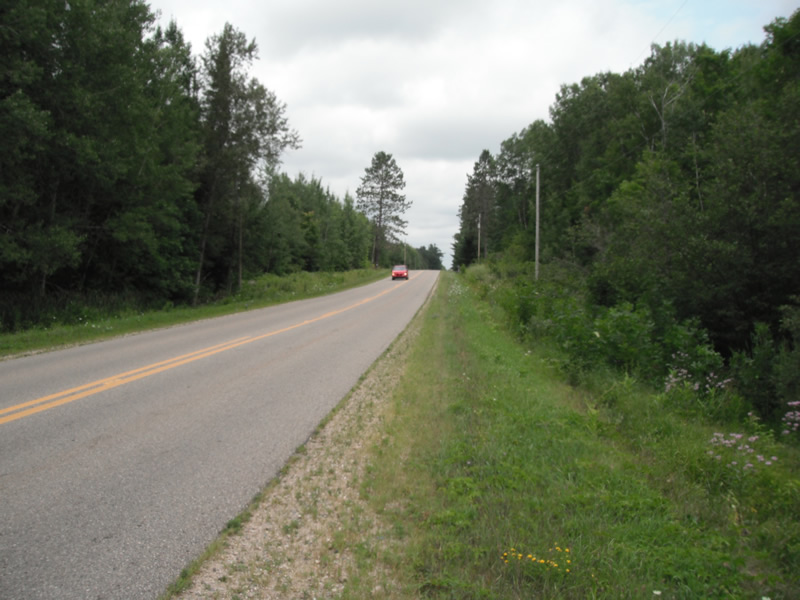
Upstream Conditions
Downstream Conditions
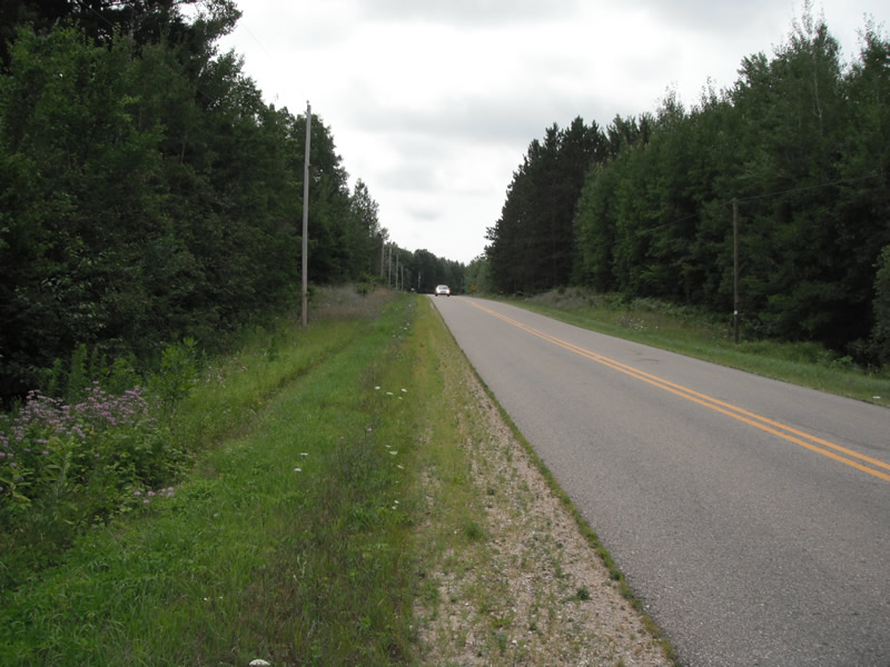
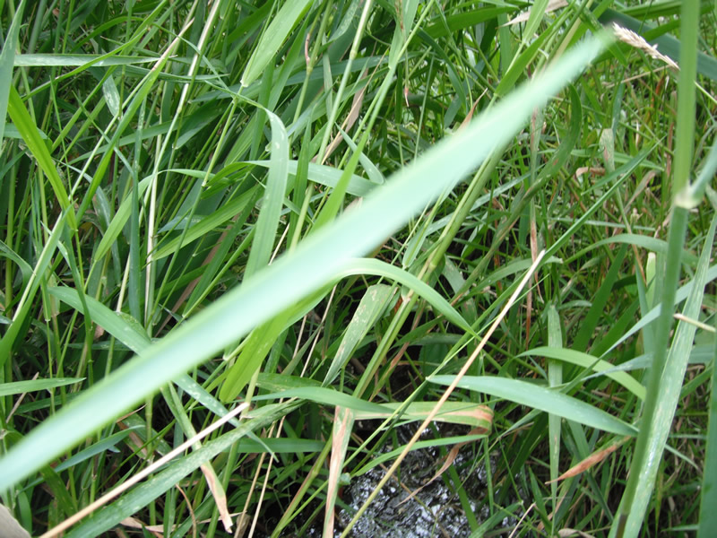
Road Approach - Left
Road Approach - Right
Crossing Information
Type of Crossing: culvert(s)
Number of Structures: 1
Structure Shape: Round
Inlet Type: Projecting
Outlet Type: At Stream Grade
Structure Material: Metal
General Conditions: Poor
Structure Interior: corrugated
Structure is Rusted through
Dimensions of Structure: Length 62 ft.
, Width 1.5 ft.
, Height 1.5 ft.
Perch Height: 1.5 ft.
Structure Inlet
Water Depth: 1.1 ft.
Embedded Depth of Structure: 0.5 ft.
Water Velocity*: 0 ft./sec.
Structure Outlet
Water Depth: 0.1 ft.
Embedded Depth of Structure: 0.1 ft.
Water Velocity*: 0 ft./sec.
*Water Velocities were measured at the Surface
(with Float Test)
Stream Information
Stream Flow: None
Scour Pool: Length 0 ft.
, Width 0 ft.
, Depth 0 ft.
Upstream Pond: Length 0 ft.
, Width 0 ft.
, Depth 0 ft.
Riffle Information
Water Depth: 0.1 ft.
Bankfull Width: 0.8 ft.
Wetted Width: 0.6 ft.
Water Velocity: 0 ft./sec.
(Measured with Float Test)
Dominant Substrate: Organics
Road Information
Paved
County Road
Road Condition: Fair
Road Width at Culvert: 22 ft.
Location of Low Point: At Stream
Runoff Path: Ditch
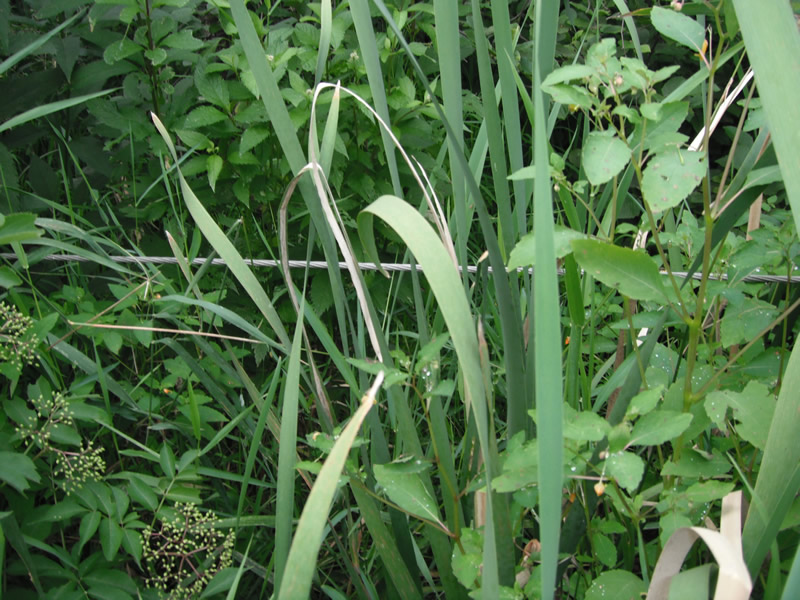
Embankments
Upstream
Fill Depth: 5.1 ft.
Slope: More than 1:2
Downstream
Fill Depth: 5 ft.
Slope: More than 1:2
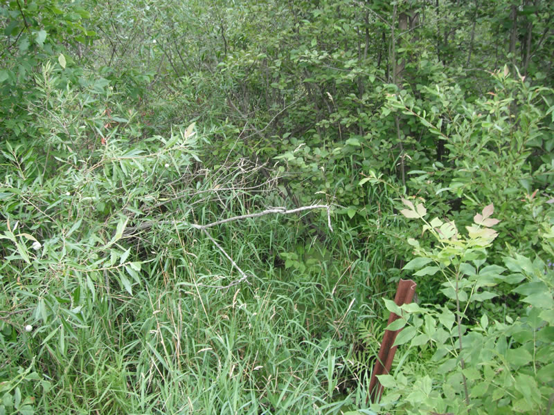
Approaches
Left Approach
Length: 621 ft.
Slope: 1% to 5%
Vegetation: Heavy
LS Factor: 0.523
Erosion: 0.2363 tons/year
Right Approach
Length: 640 ft.
Slope: 1% to 5%
Vegetation: Heavy
LS Factor: 0.526
Erosion: 0.2448 tons/year
Erosion Information
Total Erosion at Crossing: 0.5661 tons/year
Extent of Erosion: Moderate
Location of Erosion | Erosion Dimensions | Eroded Material | Material Eroded | Total Erosion | ||
facing downstream | Length | Width | Depth | Reaching Stream? | (tons/year) | |
Right Upstream |
6.4 ft. |
1 ft. |
1.2 ft. |
yes |
Sand |
0.0591 |
Left Upstream |
4.2 ft. |
1.3 ft. |
0.8 ft. |
no |
Sand |
0.0259 |
Summary Information
Fish Passability 0
A future visit to this site is recommended. the pipes are rusted and getting plugged
�