Road Stream Crossing Site RIF_OG200
Rifle River Watershed, Barber Creek
Oyster
Rose Twp,
Ogemaw County
Information collected by:
Site Location
GPS Coordinates: 44.45046
, -84.14137
T24n
R2E
Sec 24
Fish Passability 0
Perch Height: 1.5 ft.
Total Erosion: 0.4398 tons/year
Severity: Severe
Year Inventoried: 2012
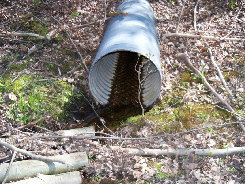
Inlet

Outlet
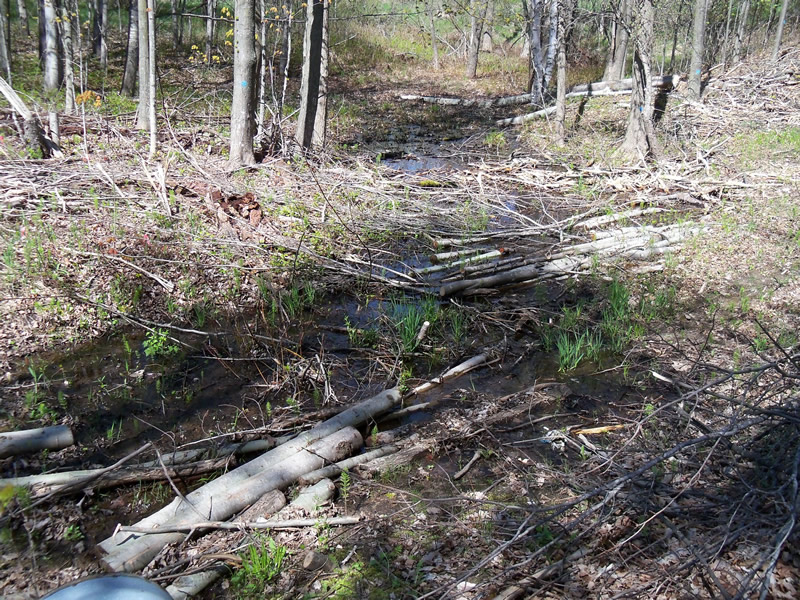
Upstream Conditions

Downstream Conditions
Road Approach - Left
Road Approach - Right
Crossing Information
Type of Crossing: culvert(s)
Number of Structures: 1
Structure Shape: Round
Inlet Type: Projecting
Outlet Type: Freefall onto Riprap
Structure Material: Metal
Structure Substrate: None
General Conditions: Good
Structure Interior: corrugated
Dimensions of Structure: Length 102 ft.
, Width 2 ft.
, Height 2 ft.
Perch Height: 1.5 ft.
Structure Inlet
Water Depth: 0.1 ft.
Embedded Depth of Structure: 0 ft.
Water Velocity*: 0.2 ft./sec.
Structure Outlet
Water Depth: 0.1 ft.
Embedded Depth of Structure: 0 ft.
Water Velocity*: 0.3 ft./sec.
*Water Velocities were measured 0.1 ft. below Surface
(with Meter)
Stream Information
Stream Flow: Less than Bankfull
Scour Pool: Length 3.7 ft.
, Width 3 ft.
, Depth 0.2 ft.
Upstream Pond: Length 0 ft.
, Width 0 ft.
, Depth 0 ft.
Riffle Information
Water Depth: 0.1 ft.
Bankfull Width: 2.7 ft.
Wetted Width: 1.4 ft.
Water Velocity: 0.2 ft./sec.
(Measured with Meter)
Dominant Substrate: Gravel
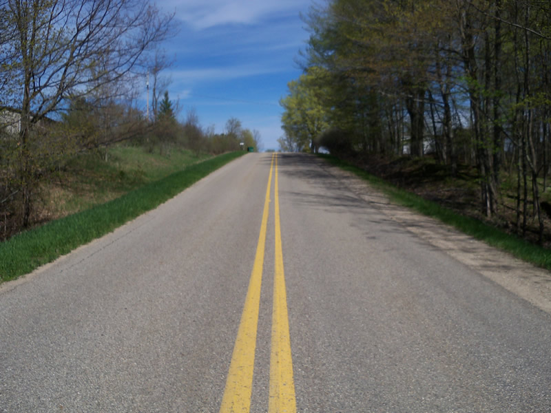
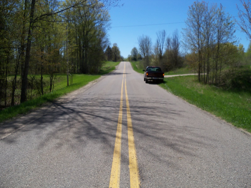
Road Information
Paved
County Road
Road Condition: Good
Road Width at Culvert: 24 ft.
Location of Low Point: At Stream
Runoff Path: Ditch
Embankments
Upstream
Fill Depth: 20 ft.
Slope: 1:1.5
Downstream
Fill Depth: 25 ft.
Slope: 1:1.5
Approaches
Left Approach
Length: 303 ft.
Slope: 1% to 5%
Vegetation: Heavy
LS Factor: 0.461
Erosion: 0.1107 tons/year
Right Approach
Length: 762 ft.
Slope: 1% to 5%
Vegetation: Heavy
LS Factor: 0.544
Erosion: 0.3291 tons/year
Erosion Information
Total Erosion at Crossing: 0.4398 tons/year
Summary Information
Fish Passability 0
Fish Passage is an area of concern for this site.
outlet is perched, headwaters of barber creek
A future visit to this site is recommended. fish passage
�