Road Stream Crossing Site RIF_OG201
Rifle River Watershed, Simmons Creek
Oyster Creek
Rose Twp,
Ogemaw County
Information collected by:
Site Location
GPS Coordinates: 44.45035
, -84.11776
T24N
R3E
Sec 19
Fish Passability 0
Perch Height: 0.7 ft.
Total Erosion: 4.7606 tons/year
Severity: Severe
Year Inventoried: 2012
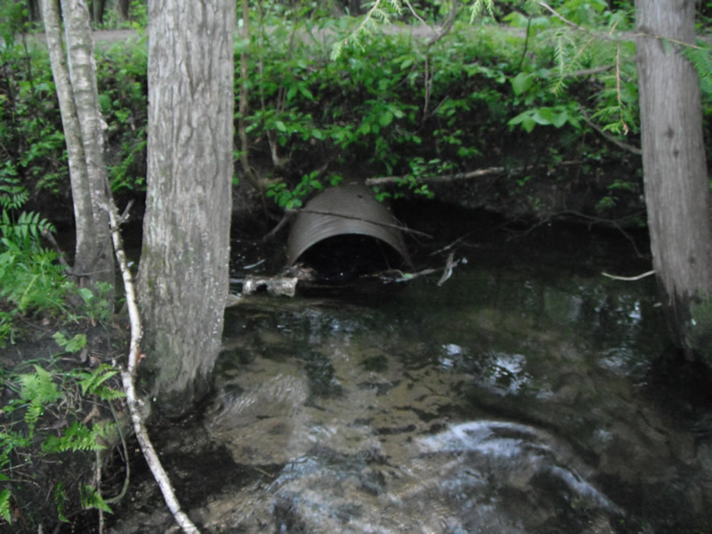
Inlet
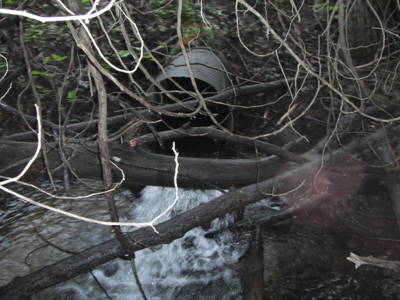
Outlet
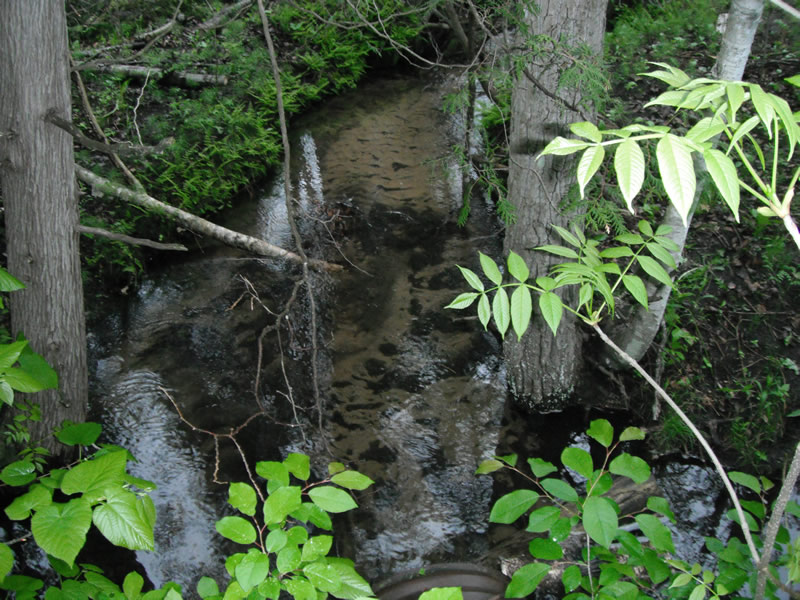
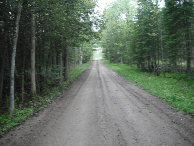
Upstream Conditions
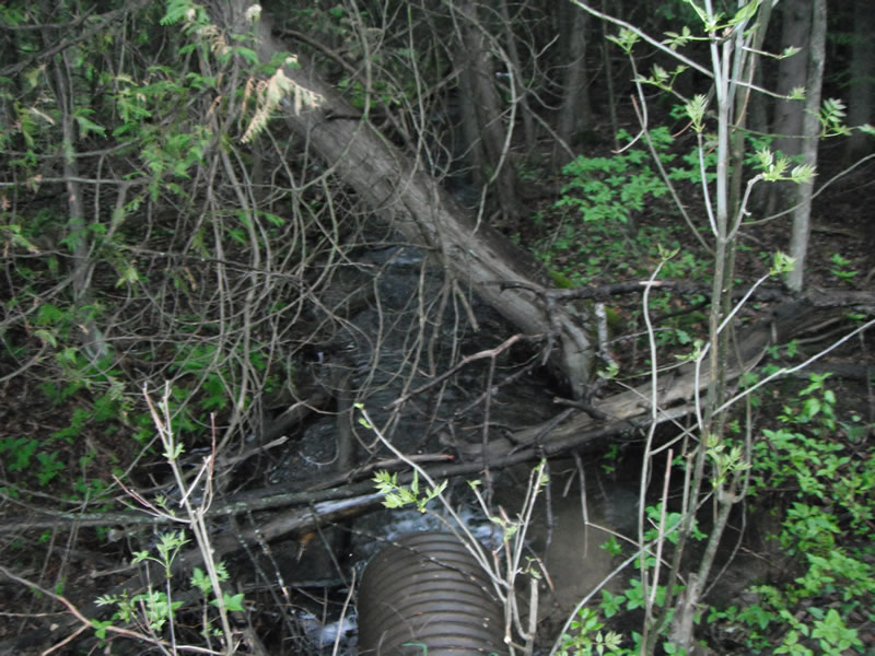
Downstream Conditions
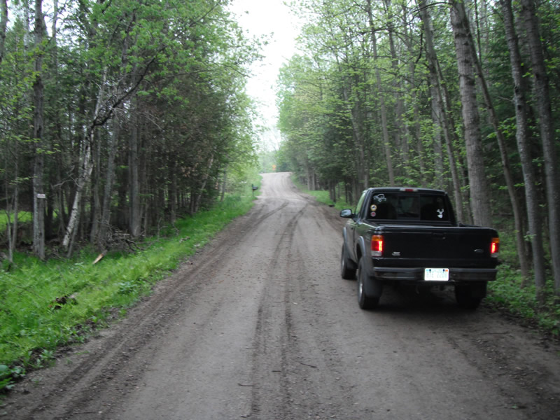
Road Approach - Left
Road Approach - Right
Crossing Information
Type of Crossing: culvert(s)
Number of Structures: 1
Structure Shape: Round
Inlet Type: Projecting
Outlet Type: Freefall onto Riprap
Structure Material: Metal
Structure Substrate: None
General Conditions: Fair
Structure Interior: corrugated
Dimensions of Structure: Length 33 ft.
, Width 2 ft.
, Height 2 ft.
Perch Height: 0.7 ft.
Structure Inlet
Water Depth: 0.7 ft.
Embedded Depth of Structure: 0 ft.
Water Velocity*: 1.4 ft./sec.
Structure Outlet
Water Depth: 0.6 ft.
Embedded Depth of Structure: 0 ft.
Water Velocity*: 3.6 ft./sec.
*Water Velocities were measured 0.3 ft. below Surface
(with Meter)
Stream Information
Stream Flow: Less than 1/2 Bankfull
Scour Pool: Length 9.4 ft.
, Width 13.1 ft.
, Depth 1.7 ft.
Upstream Pond: Length 3.2 ft.
, Width 8.9 ft.
, Depth 0 ft.
Riffle Information
Water Depth: 0.4 ft.
Bankfull Width: 8.3 ft.
Wetted Width: 6.9 ft.
Water Velocity: 0.7 ft./sec.
(Measured with Meter)
Dominant Substrate: Cobble
Road Information
Gravel
County Road
Road Condition: Fair
Road Width at Culvert: 14.3 ft.
Location of Low Point: At Stream
Runoff Path: Ditch
Embankments
Upstream
Fill Depth: 2.3 ft.
Slope: 1:1.5
Downstream
Fill Depth: 2 ft.
Slope: 1:2
Approaches
Left Approach
Length: 546 ft.
Slope: 6% to 10%
Vegetation: Heavy
LS Factor: 1.683
Erosion: 3.6206 tons/year
Right Approach
Length: 438 ft.
Slope: 1% to 5%
Vegetation: Heavy
LS Factor: 0.488
Erosion: 0.8413 tons/year
Erosion Information
Total Erosion at Crossing: 4.7606 tons/year
Extent of Erosion: Moderate
Notes: culverts are insizing/ most is coming from the ditch
Location of Erosion | Erosion Dimensions | Eroded Material | Material Eroded | Total Erosion | ||
facing downstream | Length | Width | Depth | Reaching Stream? | (tons/year) | |
Right Ditch |
1.5 ft. |
30 ft. |
0.2 ft. |
yes |
Loam |
0.0018 |
Right Ditch |
4.4 ft. |
2 ft. |
2 ft. |
yes |
Loam |
0.0542 |
Right Approach |
2 ft. |
3.4 ft. |
4.5 ft. |
yes |
Sand |
0.0693 |
Left Approach |
5 ft. |
2 ft. |
4.5 ft. |
yes |
Sand |
0.1733 |
Summary Information
Fish Passability 0
Fish Passage is an area of concern for this site.
perched culvert and water velocity is to high
A future visit to this site is recommended. fish passage
�