Road Stream Crossing Site RIF_OG202
Rifle River Watershed, Tributary of Barber Creek
Campbell Rd
Rose Twp,
Ogemaw County
Information collected by:
Site Location
GPS Coordinates: 44.44014
, -84.14706
T24N
R2E
Sec 25
Fish Passability 0
Perch Height: 0.2 ft.
Total Erosion: 0.4501 tons/year
Severity: Severe
Year Inventoried: 2012
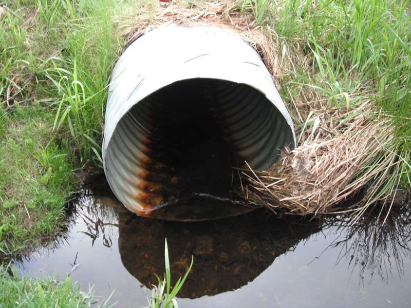
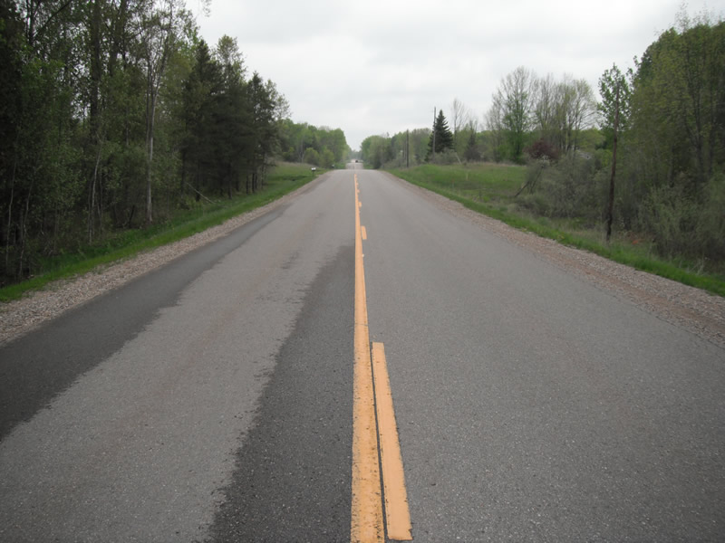
Inlet
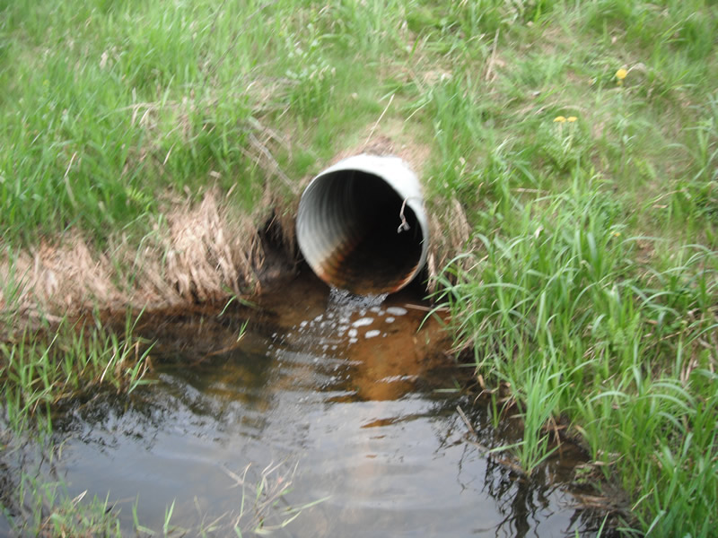
Outlet
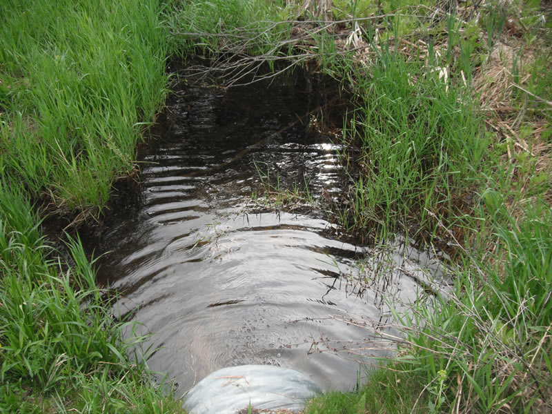
Upstream Conditions
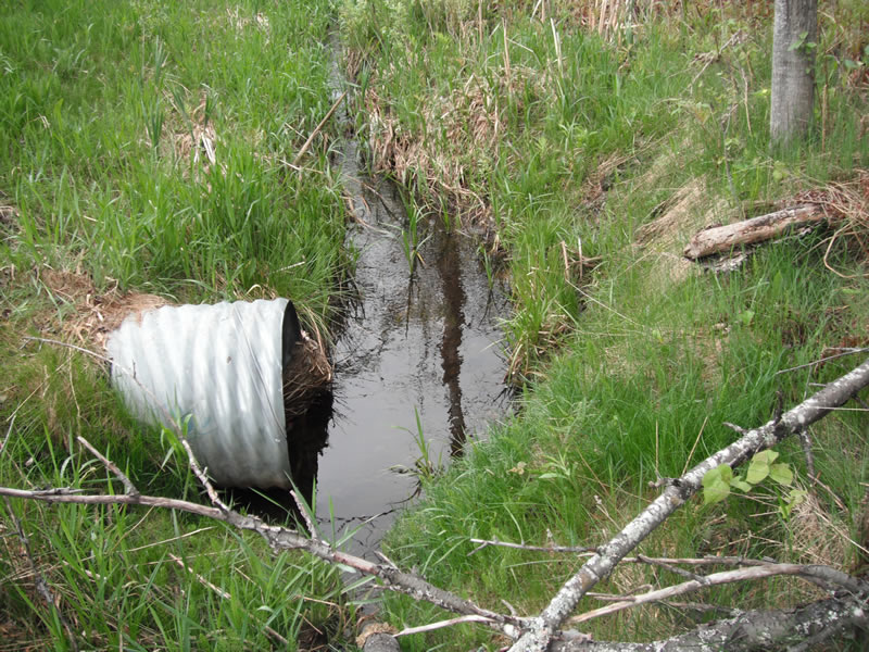
Downstream Conditions
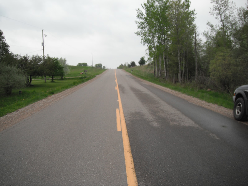
Road Approach - Left
Road Approach - Right
Crossing Information
Type of Crossing: culvert(s)
Number of Structures: 1
Structure Shape: Round
Inlet Type: Projecting
Outlet Type: Freefall into Pool
Structure Material: Metal
Structure Substrate: None
General Conditions: Fair
Structure Interior: corrugated
Dimensions of Structure: Length 59 ft.
, Width 2 ft.
, Height 2 ft.
Perch Height: 0.2 ft.
Structure Inlet
Water Depth: 0.3 ft.
Embedded Depth of Structure: 0 ft.
Water Velocity*: 1.4 ft./sec.
Structure Outlet
Water Depth: 0.2 ft.
Embedded Depth of Structure: 0 ft.
Water Velocity*: 2.9 ft./sec.
*Water Velocities were measured 0.1 ft. below Surface
(with Meter)
Stream Information
Stream Flow: Less than 1/2 Bankfull
Scour Pool: Length 14.2 ft.
, Width 11.6 ft.
, Depth 3 ft.
Upstream Pond: Length 3.4 ft.
, Width 9.4 ft.
, Depth 0 ft.
Riffle Information
Water Depth: 0.3 ft.
Bankfull Width: 4.7 ft.
Wetted Width: 3.2 ft.
Water Velocity: 0.8 ft./sec.
(Measured with Meter)
Dominant Substrate: Sand
Road Information
Paved
County Road
Road Condition: Good
Road Width at Culvert: 24 ft.
Location of Low Point: At Stream
Runoff Path: Ditch
Embankments
Upstream
Fill Depth: 4 ft.
Slope: More than 1:2
Downstream
Fill Depth: 4 ft.
Slope: 1:2
Approaches
Left Approach
Length: 445 ft.
Slope: 1% to 5%
Vegetation: Heavy
LS Factor: 0.489
Erosion: 0.1726 tons/year
Right Approach
Length: 661 ft.
Slope: 1% to 5%
Vegetation: Heavy
LS Factor: 0.529
Erosion: 0.2775 tons/year
Erosion Information
Total Erosion at Crossing: 0.4501 tons/year
Extent of Erosion: Stabilized
Erosion is occurring and corrective actions can be installed to address the problem.
Notes: no erosion sites presents appears to be stabilized
Summary Information
Fish Passability 0
Fish Passage is an area of concern for this site.
perched culvert
A future visit to this site is recommended. fish passage, and abnormally large scour pool for stream site
�