Road Stream Crossing Site RIF_OG217
Rifle River Watershed, Tributary
Cosand Rd
Rose Twp,
Ogemaw County
Information collected by:
Site Location
GPS Coordinates: 44.44307
, -84.02926
T24N
R3E
Sec 26
Structure is NOT Perched
Total Erosion: 21.7228 tons/year
Severity: Severe
Year Inventoried: 2012
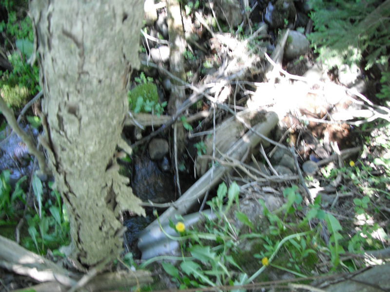
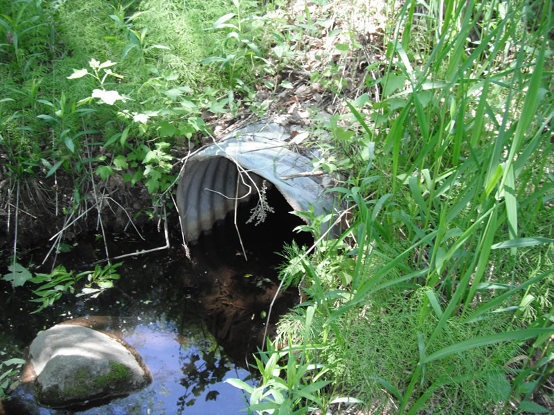
Inlet
Outlet
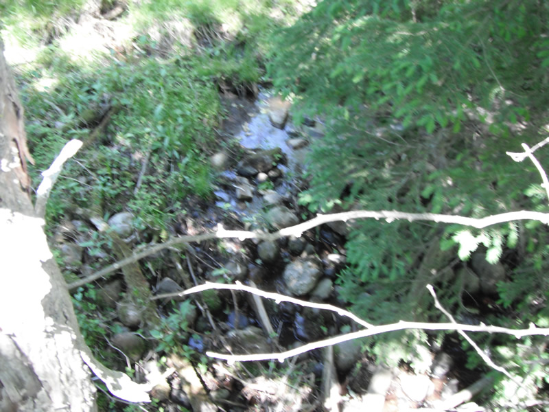
Upstream Conditions
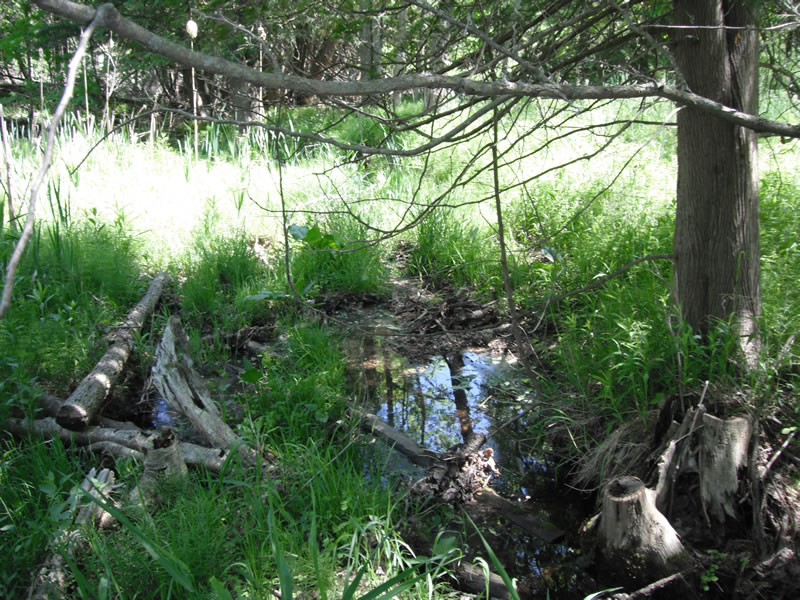
Downstream Conditions
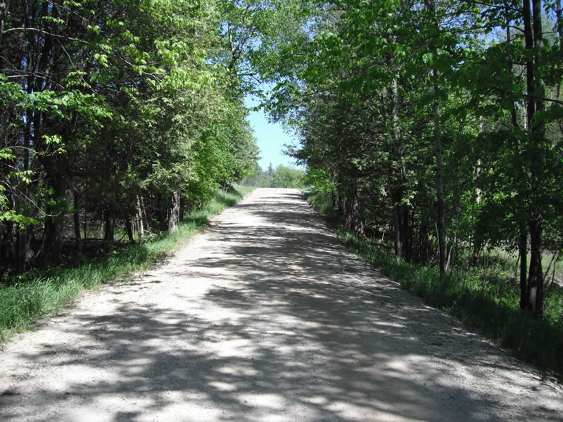
Road Approach - Left
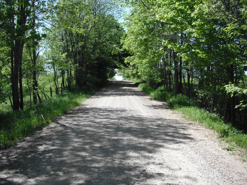
Road Approach - Right
Crossing Information
Type of Crossing: culvert(s)
Number of Structures: 1
Structure Shape: Round
Inlet Type: Projecting
Outlet Type: At Stream Grade
Structure Material: Metal
Structure Substrate: None
General Conditions: Poor
Structure Interior: corrugated
Dimensions of Structure: Length 35 ft.
, Width 1.6 ft.
, Height 2 ft.
Structure is NOT Perched
Structure Outlet
Water Depth: 0.6 ft.
Embedded Depth of Structure: 0 ft.
Water Velocity*: 0 ft./sec.
Additional Comments
fence is blocking access to down stream side
Stream Information
Stream Flow: Less than 1/2 Bankfull
Scour Pool: Length 6 ft.
, Width 5 ft.
, Depth 4 ft.
Upstream Pond: Length 0 ft.
, Width 0 ft.
, Depth 0 ft.
Riffle Information
Water Depth: 0.2 ft.
Bankfull Width: 5 ft.
Wetted Width: 1.5 ft.
Water Velocity: 0 ft./sec.
Dominant Substrate: Cobble
Road Information
Gravel
County Road
Road Condition: Fair
Road Width at Culvert: 20 ft.
Location of Low Point: At Stream
Runoff Path: Ditch
Embankments
Upstream
Fill Depth: 7.5 ft.
Slope: 1:1.5
Downstream
Fill Depth: 8 ft.
Slope: Vertical
Approaches
Left Approach
Length: 501 ft.
Slope: More Than 10%
Vegetation: Heavy
LS Factor: 4.346
Erosion: 11.9966 tons/year
Right Approach
Length: 431 ft.
Slope: More Than 10%
Vegetation: Heavy
LS Factor: 4.096
Erosion: 9.7262 tons/year
Erosion Information
Total Erosion at Crossing: 21.7228 tons/year
Extent of Erosion: Stabilized
Summary Information
�