Road Stream Crossing Site RIF_OG224
Rifle River Watershed, Skunk Creek
Shady Stores
Hill Twp,
Ogemaw County
Information collected by:
Site Location
GPS Coordinates: 44.39708
, -83.98405
T23N
R4E
Sec 8
Fish Passability 0.5
Structure is NOT Perched
Severity: Moderate
Year Inventoried: 2012
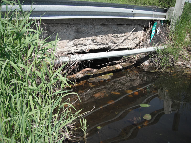
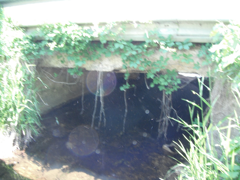
Inlet
Outlet
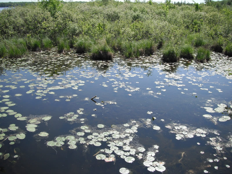
Upstream Conditions
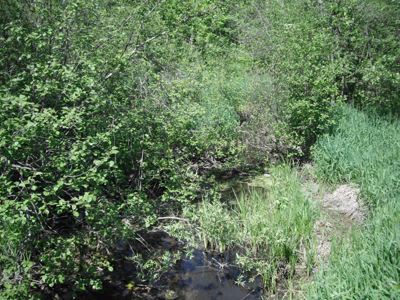
Downstream Conditions
Road Approach - Left
Road Approach - Right
Crossing Information
Type of Crossing: Bridge
Structure Shape: Open Bottom Square/Rectangle
Inlet Type: Wingwall 10-30 Degree
Outlet Type: At Stream Grade
Structure Material: Concrete
Structure Substrate: Gravel
General Conditions: Poor
Structure Interior: smooth
Dimensions of Structure: Length 24 ft.
, Width 9.5 ft.
, Height 3.9 ft.
Structure is NOT Perched
Structure Inlet
Water Depth: 0.1 ft.
Water Velocity*: 0.2 ft./sec.
Structure Outlet
Water Depth: 0.8 ft.
Water Velocity*: 0.2 ft./sec.
*Water Velocities were measured at the Surface
(with Float Test)
Stream Information
Stream Flow: Less than 1/2 Bankfull
Scour Pool: Length 18 ft.
, Width 13 ft.
, Depth 0.9 ft.
Upstream Pond: Length 40 ft.
, Width 75 ft.
, Depth 0 ft.
Riffle Information
Water Depth: 0.4 ft.
Bankfull Width: 1.2 ft.
Wetted Width: 5.1 ft.
Water Velocity: 0 ft./sec.
(Measured with Float Test)
Dominant Substrate: Organics
Road Information
Paved
County Road
Road Condition: Fair
Location of Low Point: At Stream
Runoff Path: Ditch
Embankments
Upstream
Fill Depth: 2.4 ft.
Slope: Vertical
Downstream
Fill Depth: 2 ft.
Slope: Vertical
Length: 543 ft.
Slope: 6% to 10%
Vegetation: Heavy
Length: 1000 ft.
Slope: 1% to 5%
Vegetation: Heavy
Erosion Information
Extent of Erosion: Stabilized
Notes: rock riprap on side of bridge to stabilize erosion
Summary Information
Fish Passability 0.5
Fish Passage is an area of concern for this site.
dam at inlet not allow fish to pass
A future visit to this site is recommended. dam at inlet
�