Road Stream Crossing Site RIF_OG230
Rifle River Watershed, Tributary of Wilkins Creek
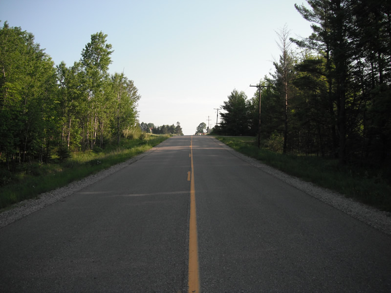
Townline Rd
Cumming Twp,
Ogemaw County
Information collected by:
Site Location
GPS Coordinates: 44.4032867281474
, -84.1264732182026
T23N
R3E
Sec 7
Perch Height: 0.4 ft.
Severity: Severe
Year Inventoried: 2012
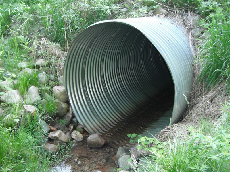
Inlet
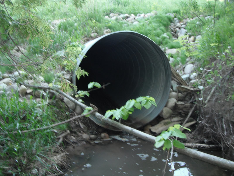
Outlet

Upstream Conditions
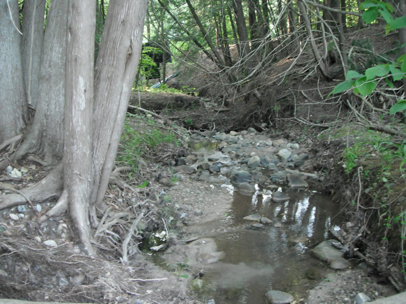
Downstream Conditions
Road Approach - Left
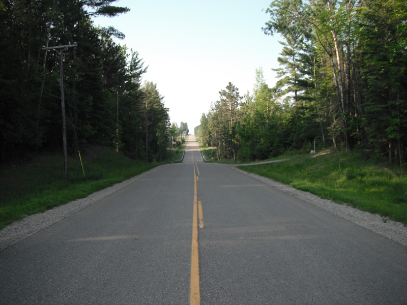
Road Approach - Right
Crossing Information
Type of Crossing: culvert(s)
Number of Structures: 1
Structure Shape: Round
Inlet Type: Projecting
Outlet Type: Freefall into Pool
Structure Material: Metal
Structure Substrate: None
General Conditions: New
Structure Interior: corrugated
Dimensions of Structure: Length 127 ft.
, Width 6 ft.
, Height 6.1 ft.
Perch Height: 0.4 ft.
Structure Inlet
Water Depth: 0.1 ft.
Embedded Depth of Structure: 0 ft.
Water Velocity*: 0.7 ft./sec.
Structure Outlet
Water Depth: 0.1 ft.
Embedded Depth of Structure: 0 ft.
Water Velocity*: 0.7 ft./sec.
*Water Velocities were measured at the Surface
(with Float Test)
Stream Information
Stream Flow: Less than 1/2 Bankfull
Scour Pool: Length 12 ft.
, Width 8.9 ft.
, Depth 2.3 ft.
Upstream Pond: Length 0 ft.
, Width 0 ft.
, Depth 0 ft.
Riffle Information
Water Depth: 0.1 ft.
Bankfull Width: 9.9 ft.
Wetted Width: 1.8 ft.
Water Velocity: 0.7 ft./sec.
(Measured with Float Test)
Dominant Substrate: Organics
Road Information
Paved
County Road
Road Condition: Good
Road Width at Culvert: 24 ft.
Location of Low Point: Other
Runoff Path: Ditch
Embankments
Upstream
Fill Depth: 9.5 ft.
Slope: 1:2
Downstream
Fill Depth: 14 ft.
Slope: 1:2
Length: 387 ft.
Slope: 1% to 5%
Vegetation: Heavy
Slope: Less Than 1%
Vegetation: Heavy
Erosion Information
Extent of Erosion: Moderate
Erosion is occurring and corrective actions can be installed to address the problem.
Notes:
ripraps could be extend to fix erosion problem, top site is upstream above riprap
Summary Information
Fish Passage is an area of concern for this site.
perched culvert
A future visit to this site is recommended.
perched culvert
�