Road Stream Crossing Site RIF_OG234
Rifle River Watershed, Tributary of Prior Creek
Morrison Rd
Cumming Twp,
Ogemaw County
Information collected by:
Site Location
T23N
R3E
Sec 16
Fish Passability 1
Structure is NOT Perched
Severity: Minor
Year Inventoried: 2012
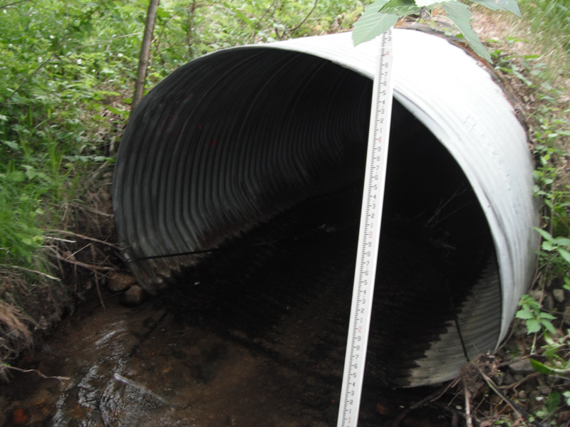
Inlet
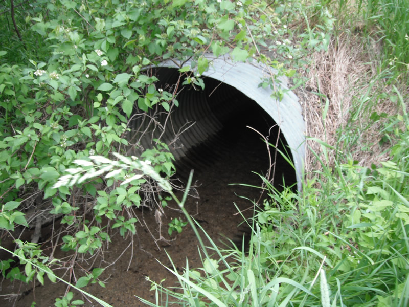
Outlet
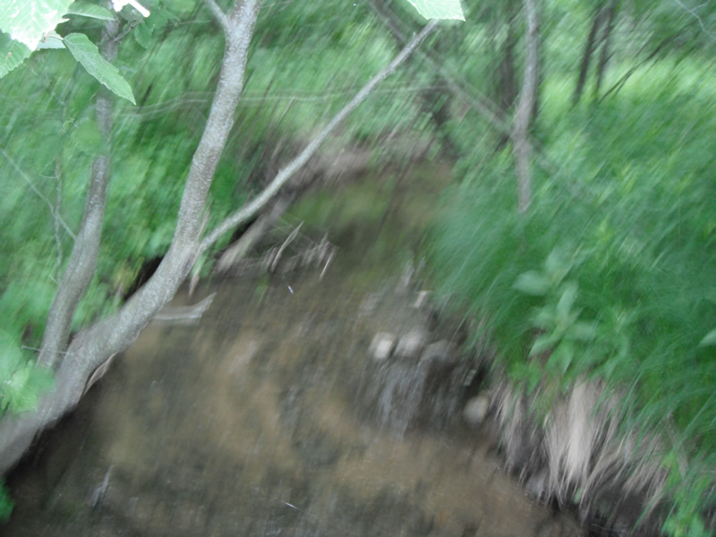
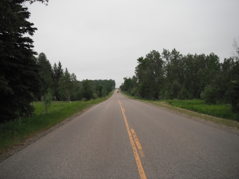
Upstream Conditions
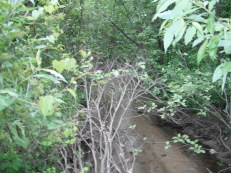
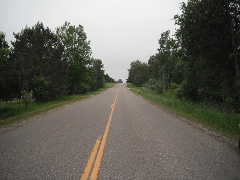
Downstream Conditions
Road Approach - Left
Road Approach - Right
Crossing Information
Type of Crossing: culvert(s)
Number of Structures: 1
Structure Shape: Pipe Arch
Inlet Type: Projecting
Outlet Type: At Stream Grade
Structure Material: Metal
Structure Substrate: Gravel
General Conditions: Good
Structure Interior: corrugated
Dimensions of Structure: Length 67 ft.
, Width 6 ft.
, Height 4.6 ft.
Structure is NOT Perched
Structure Inlet
Water Depth: 0.5 ft.
Embedded Depth of Structure: 0 ft.
Water Velocity*: 1 ft./sec.
Structure Outlet
Water Depth: 0.4 ft.
Embedded Depth of Structure: 0.2 ft.
Water Velocity*: 1 ft./sec.
*Water Velocities were measured at the Surface
(with Float Test)
Stream Information
Stream Flow: Less than 1/2 Bankfull
Scour Pool: Length 0 ft.
, Width 0 ft.
, Depth 0 ft.
Upstream Pond: Length 6.6 ft.
, Width 8 ft.
, Depth 0 ft.
Riffle Information
Water Depth: 0.3 ft.
Bankfull Width: 11.4 ft.
Wetted Width: 6.8 ft.
Water Velocity: 1 ft./sec.
(Measured with Float Test)
Dominant Substrate: Sand
Road Information
Paved
County Road
Road Condition: Good
Road Width at Culvert: 25 ft.
Location of Low Point: Other
Runoff Path: Ditch
Embankments
Upstream
Fill Depth: 2 ft.
Slope: More than 1:2
Downstream
Fill Depth: 2 ft.
Slope: More than 1:2
Vegetation: Heavy
Length: 727 ft.
Slope: 1% to 5%
Vegetation: Heavy
Erosion Information
Summary Information
Fish Passability 1
�