Road Stream Crossing Site RIF_OG242
Rifle River Watershed, Tributary of Ammond Creek
M-33
Cumming Twp,
Ogemaw County
Information collected by:
Site Location
GPS Coordinates: 44.34756
, -84.12615
T23N
R3E
Sec 31
Fish Passability 1
Structure is NOT Perched
Total Erosion: 0.9084 tons/year
Severity: Moderate
Year Inventoried: 2012
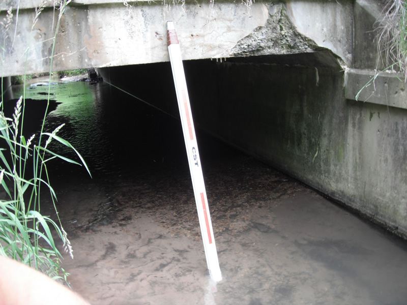
Inlet
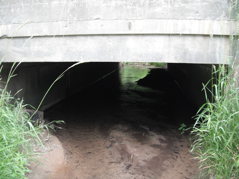
Outlet
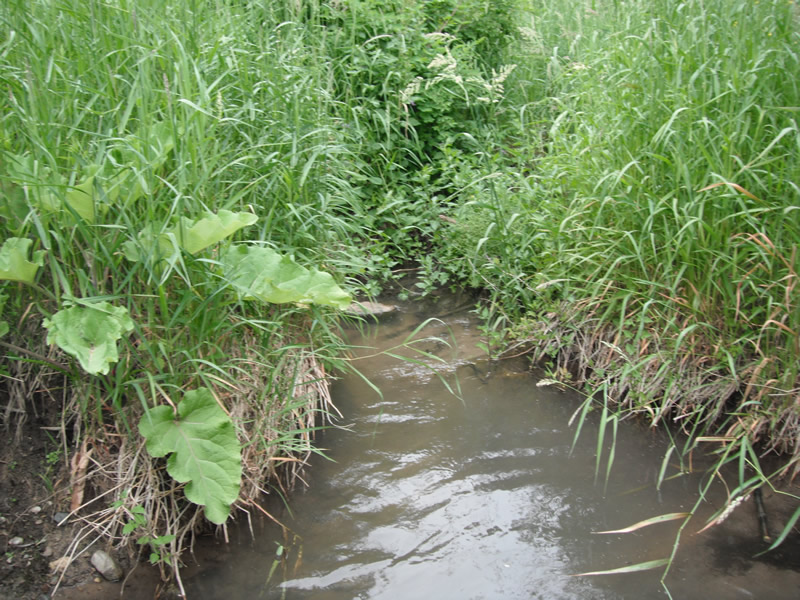
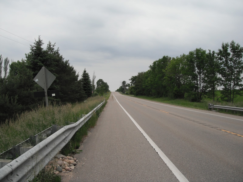
Upstream Conditions
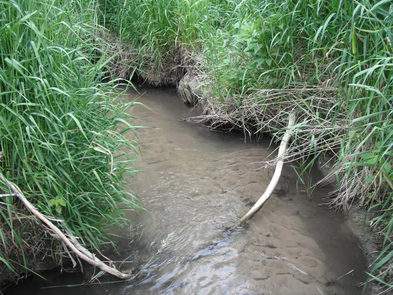
Downstream Conditions
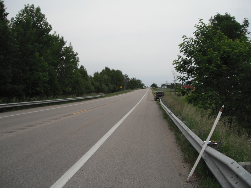
Road Approach - Left
Road Approach - Right
Crossing Information
Type of Crossing: culvert(s)
Number of Structures: 1
Structure Shape: Square/Rectangle
Inlet Type: Headwall
Outlet Type: At Stream Grade
Structure Material: Concrete
Structure Substrate: Sand
General Conditions: Poor
Structure Interior: smooth
Dimensions of Structure: Length 57 ft.
, Width 12 ft.
, Height 4.8 ft.
Structure is NOT Perched
Structure Inlet
Water Depth: 0.3 ft.
Embedded Depth of Structure: 0.6 ft.
Water Velocity*: 1 ft./sec.
Structure Outlet
Water Depth: 0.3 ft.
Embedded Depth of Structure: 0.4 ft.
Water Velocity*: 1 ft./sec.
*Water Velocities were measured at the Surface
(with Float Test)
Stream Information
Stream Flow: Less than 1/2 Bankfull
Scour Pool: Length 0 ft.
, Width 0 ft.
, Depth 0 ft.
Upstream Pond: Length 13.3 ft.
, Width 12.8 ft.
, Depth 0 ft.
Riffle Information
Water Depth: 0.4 ft.
Bankfull Width: 7.9 ft.
Wetted Width: 6.4 ft.
Water Velocity: 1 ft./sec.
(Measured with Float Test)
Dominant Substrate: Sand
Road Information
Paved
State Road
Road Condition: Fair
Road Width at Culvert: 24 ft.
Location of Low Point: At Stream
Runoff Path: Ditch
Embankments
Upstream
Fill Depth: 3.2 ft.
Slope: 1:1.5
Downstream
Fill Depth: 3 ft.
Slope: 1:1.5
Approaches
Left Approach
Length: 1000 ft.
Slope: 1% to 5%
Vegetation: Heavy
LS Factor: 0.57
Erosion: 0.4522 tons/year
Right Approach
Length: 1000 ft.
Slope: 1% to 5%
Vegetation: Heavy
LS Factor: 0.57
Erosion: 0.4522 tons/year
Erosion Information
Total Erosion at Crossing: 0.9084 tons/year
Extent of Erosion: Minor
Erosion is occurring and corrective actions can be installed to address the problem.
Notes: on ups stream and down stream side previous erosion site have been repaired
Location of Erosion | Erosion Dimensions | Eroded Material | Material Eroded | Total Erosion | ||
facing downstream | Length | Width | Depth | Reaching Stream? | (tons/year) | |
Left Upstream |
2.1 ft. |
5.2 ft. |
0.9 ft. |
yes |
Sand |
0.0021 |
Left Downstream |
4.2 ft. |
3.3 ft. |
0.4 ft. |
yes |
Sand |
0.0018 |
Summary Information
Fish Passability 1
�