Road Stream Crossing Site RIF_OG245
Rifle River Watershed, Tributary of Ammond Creek
Morrison Rd
Cumming Twp,
Ogemaw County
Information collected by:
Site Location
GPS Coordinates: 44.3982
, -84.10544
T23N
R3E
Sec 32
Fish Passability 0
Perch Height: 0.9 ft.
Severity: Severe
Year Inventoried: 2012
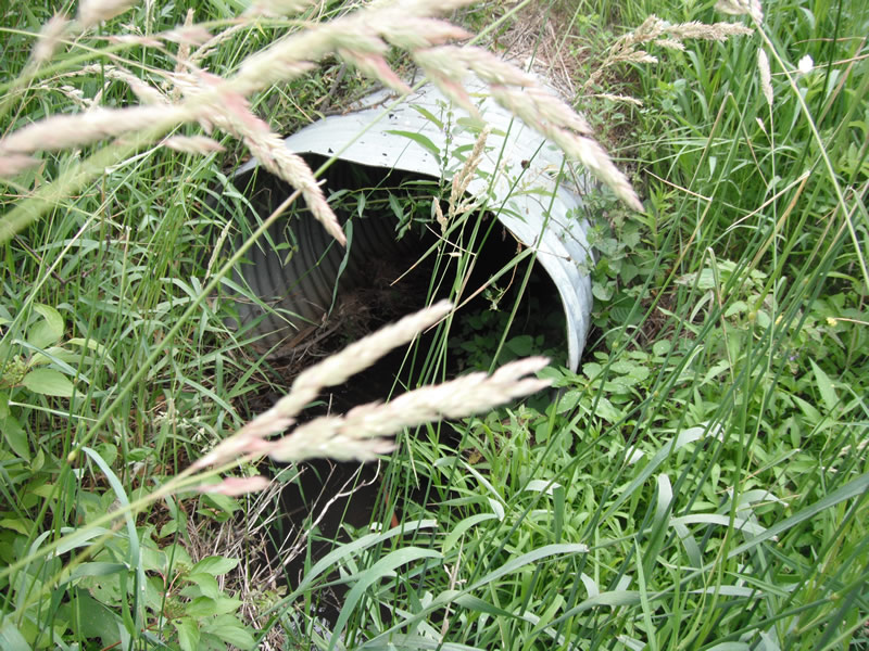
Inlet
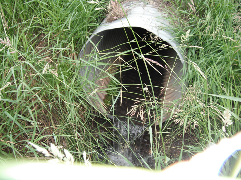
Outlet
Upstream Conditions
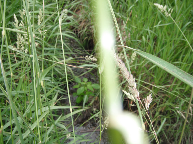
Downstream Conditions
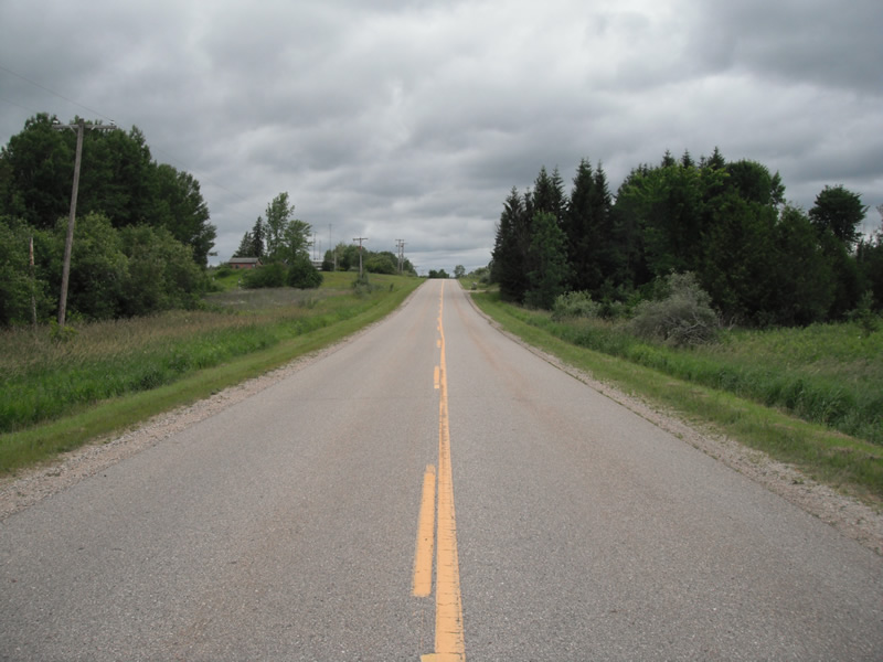
Road Approach - Left
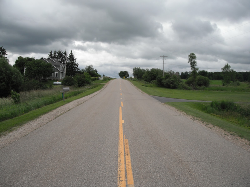
Road Approach - Right
Crossing Information
Type of Crossing: culvert(s)
Number of Structures: 1
Structure Shape: Round
Inlet Type: Projecting
Outlet Type: Freefall into Pool
Structure Material: Metal
Structure Substrate: None
General Conditions: Good
Structure Interior: corrugated
Dimensions of Structure: Length 60 ft.
, Width 3 ft.
, Height 3 ft.
Perch Height: 0.9 ft.
Structure Inlet
Water Depth: 0.2 ft.
Embedded Depth of Structure: 0 ft.
Water Velocity*: 2.3 ft./sec.
Structure Outlet
Water Depth: 0.2 ft.
Embedded Depth of Structure: 0 ft.
Water Velocity*: 2.3 ft./sec.
*Water Velocities were measured at the Surface
(with Float Test)
Stream Information
Stream Flow: Less than 1/2 Bankfull
Scour Pool: Length 11.6 ft.
, Width 4.1 ft.
, Depth 0.5 ft.
Upstream Pond: Length 4.7 ft.
, Width 4.5 ft.
, Depth 0 ft.
Riffle Information
Water Depth: 0.2 ft.
Bankfull Width: 3.3 ft.
Wetted Width: 2.6 ft.
Water Velocity: 1 ft./sec.
Dominant Substrate: Sand
Road Information
Paved
County Road
Road Condition: Good
Road Width at Culvert: 24 ft.
Location of Low Point: Other
Runoff Path: Ditch
Slope: 1:2
Fill Depth: 2 ft.
Slope: 1:2
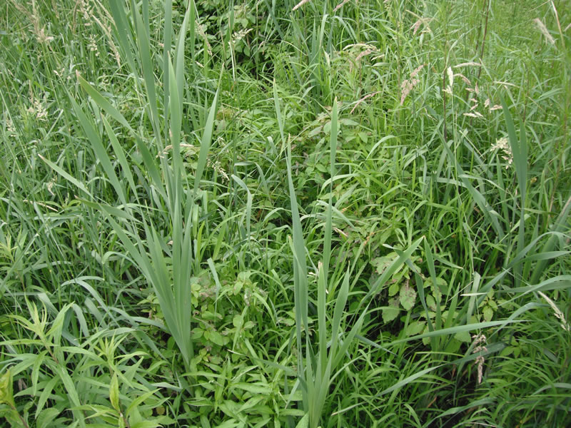
Vegetation: Heavy
Length: 1000 ft.
Slope: 1% to 5%
Vegetation: Heavy
Erosion Information
Extent of Erosion: Stabilized
Notes: none
Summary Information
Fish Passability 0
Fish Passage is an area of concern for this site.
perched culvert
A future visit to this site is recommended. purched culvert
�