Road Stream Crossing Site RIF_OG251
Rifle River Watershed, Unnamed Creek
Oneil Rd
Churchill Twp,
Ogemaw County
Information collected by:
Site Location
GPS Coordinates: 44.30419
, -84.04456
T22N
R3E
Sec 15
Fish Passability 0.9
Structure is NOT Perched
Severity: Minor
Year Inventoried: 2012
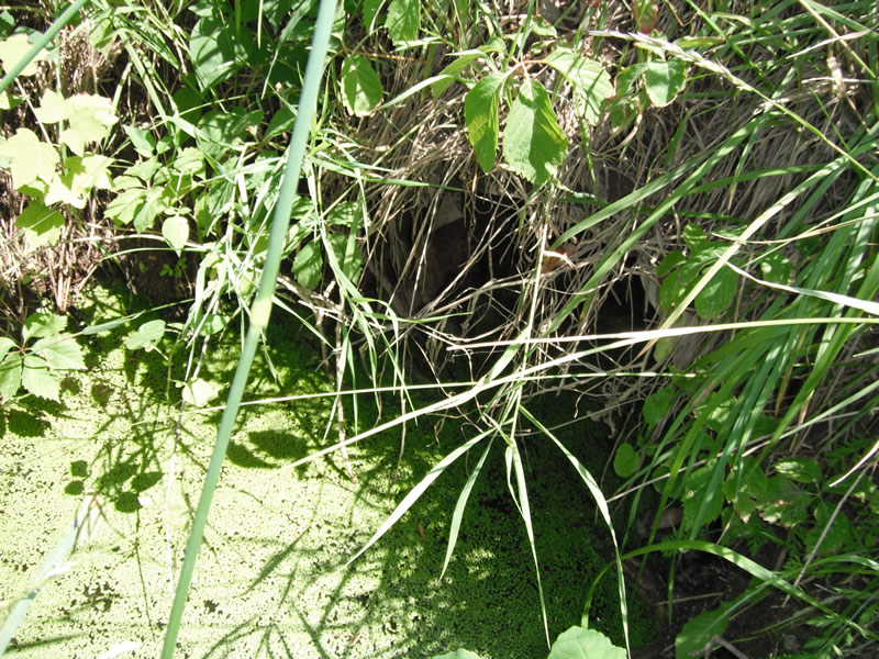
Inlet
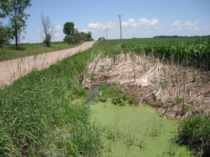
Outlet
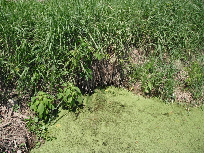
Upstream Conditions
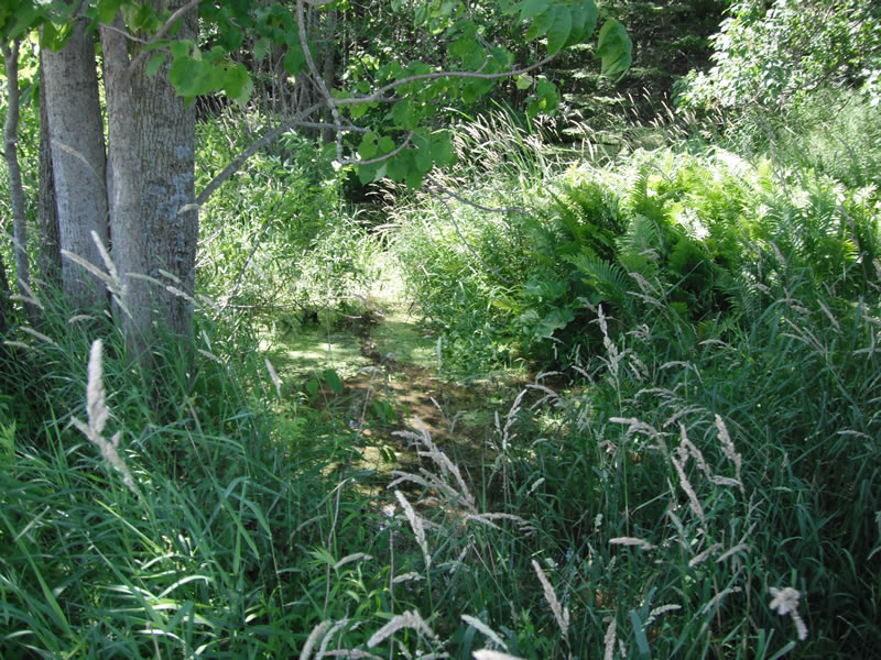
Downstream Conditions
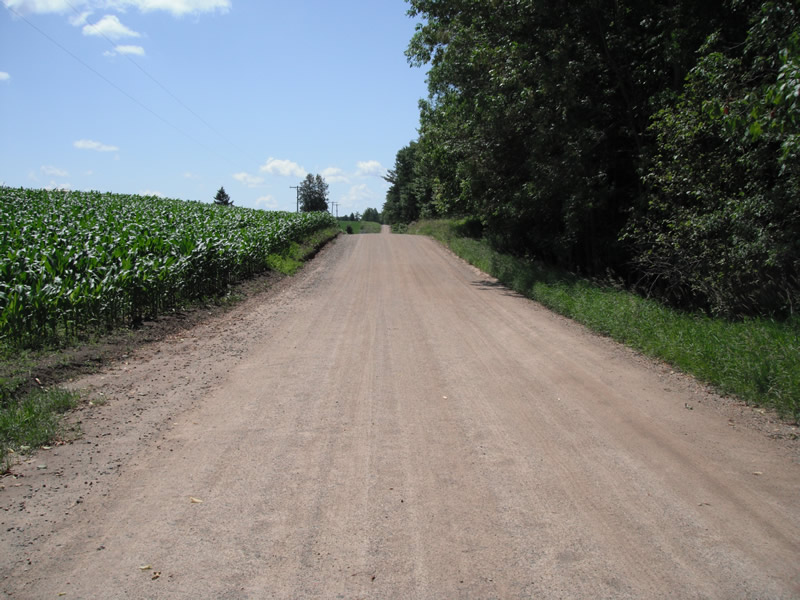
Road Approach - Left

Road Approach - Right
Crossing Information
Type of Crossing: culvert(s)
Number of Structures: 1
Structure Shape: Round
Inlet Type: Projecting
Outlet Type: At Stream Grade
Structure Material: Metal
Structure Substrate: Mixture
General Conditions: Poor
Structure Interior: corrugated
Dimensions of Structure: Length 26 ft.
, Width 1.5 ft.
, Height 1.5 ft.
Structure is NOT Perched
Structure Inlet
Water Depth: 0.2 ft.
Embedded Depth of Structure: 0.7 ft.
Water Velocity*: 0 ft./sec.
Structure Outlet
Water Depth: 0.2 ft.
Embedded Depth of Structure: 0.1 ft.
Water Velocity*: 0 ft./sec.
*Water Velocities were measured at the Surface
(with Float Test)
Stream Information
Stream Flow: Less than 1/2 Bankfull
Scour Pool: Length 15.1 ft.
, Width 8 ft.
, Depth 0.2 ft.
Upstream Pond: Length 20 ft.
, Width 8 ft.
, Depth 0 ft.
Riffle Information
Water Depth: 0.3 ft.
Bankfull Width: 10.4 ft.
Wetted Width: 8.3 ft.
Water Velocity: 0.2 ft./sec.
(Measured with Float Test)
Dominant Substrate: Sand
Road Information
Gravel
County Road
Road Condition: Fair
Road Width at Culvert: 21 ft.
Location of Low Point: At Stream
Runoff Path: Ditch
Embankments
Upstream
Fill Depth: 2.5 ft.
Slope: 1:1.5
Downstream
Fill Depth: 3 ft.
Slope: 1:1.5
Length: 189 ft.
Slope: 6% to 10%
Vegetation: Heavy
Length: 639 ft.
Vegetation: Heavy
Erosion Information
Extent of Erosion: Stabilized
Summary Information
Fish Passability 0.9
A future visit to this site is recommended. the pipe appers to be mostly plugged
�