Road Stream Crossing Site RIF_OG260
Rifle River Watershed, Tributary of Crane Creek
Engel Rd
West Branch Twp,
Ogemaw County
Information collected by:
Site Location
GPS Coordinates: 44.31996
, -84.22039
T22N
R2E
Sec 8
Fish Passability 0
Perch Height: 1.5 ft.
Severity: Severe
Year Inventoried: 2012
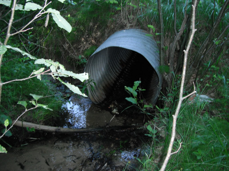
Inlet
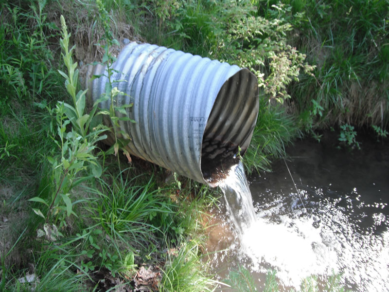
Outlet
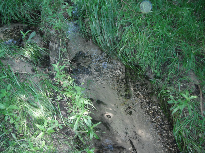
Upstream Conditions
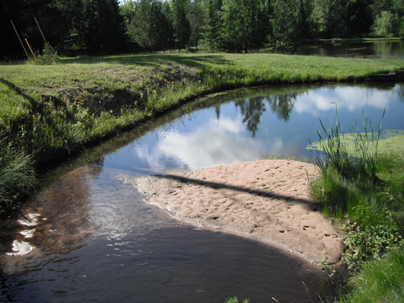
Downstream Conditions
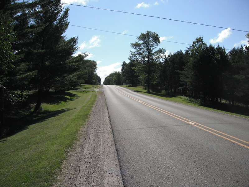
Road Approach - Left
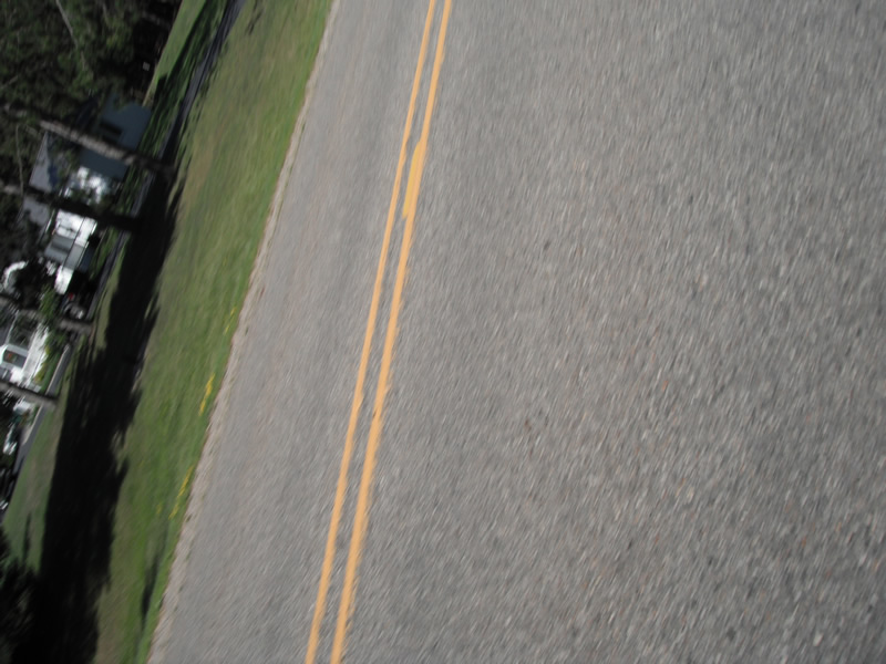
Road Approach - Right
Crossing Information
Type of Crossing: culvert(s)
Number of Structures: 1
Structure Shape: Round
Inlet Type: Projecting
Outlet Type: Freefall into Pool
Structure Material: Metal
Structure Substrate: None
General Conditions: Fair
Structure Interior: corrugated
Dimensions of Structure: Length 123 ft.
, Width 2.5 ft.
, Height 2.5 ft.
Perch Height: 1.5 ft.
Structure Inlet
Water Depth: 0.2 ft.
Embedded Depth of Structure: 0 ft.
Water Velocity*: 1.5 ft./sec.
Structure Outlet
Water Depth: 1 ft.
Embedded Depth of Structure: 0 ft.
Water Velocity*: 1 ft./sec.
*Water Velocities were measured at the Surface
(with Float Test)
Stream Information
Stream Flow: Less than 1/2 Bankfull
Scour Pool: Length 7.5 ft.
, Width 4.5 ft.
, Depth 5 ft.
Upstream Pond: Length 0 ft.
, Width 0 ft.
, Depth 0 ft.
Riffle Information
Water Depth: 0.2 ft.
Bankfull Width: 2.8 ft.
Wetted Width: 1.9 ft.
Water Velocity: 0.5 ft./sec.
(Measured with Float Test)
Dominant Substrate: Sand
Road Information
Paved
County Road
Road Width at Culvert: 23 ft.
Location of Low Point: At Stream
Runoff Path: Ditch
Embankments
Upstream
Fill Depth: 13 ft.
Slope: 1:2
Downstream
Fill Depth: 12 ft.
Slope: 1:2
Length: 603 ft.
Vegetation: Heavy
Length: 448 ft.
Vegetation: Heavy
Erosion Information
Extent of Erosion: Moderate
Location of Erosion | Erosion Dimensions | Eroded Material | Material Eroded | Total Erosion | ||
facing downstream | Length | Width | Depth | Reaching Stream? | (tons/year) | |
Right Downstream |
5.4 ft. |
2.6 ft. |
1.1 ft. |
yes |
Sand |
0.0457 |
Left Downstream |
6 ft. |
3.5 ft. |
1.4 ft. |
yes |
Sand |
0.0647 |
Summary Information
Fish Passability 0
Fish Passage is an area of concern for this site.
perched culvert
A future visit to this site is recommended. dam and downstream perch culvert
�