Road Stream Crossing Site RIF_OG265
Rifle River Watershed, Tributary of Ogemaw Creek
Dow Rd
West Branch Twp,
Ogemaw County
Information collected by:
Site Location
GPS Coordinates: 44.25515
, -84.24654
T22N
R2E
Sec 19
Fish Passability 0.9
Total Erosion: 0.4509 tons/year
Severity: Moderate
Year Inventoried: 2012
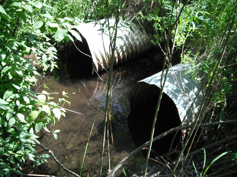
Inlet
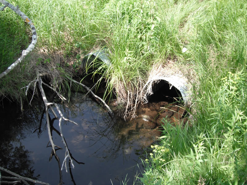
Outlet
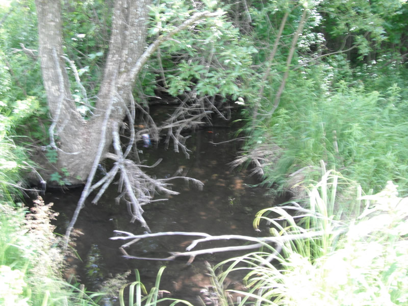
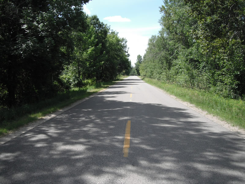
Upstream Conditions
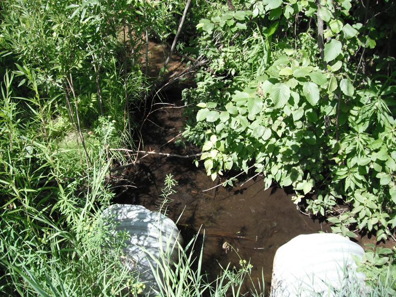
Downstream Conditions
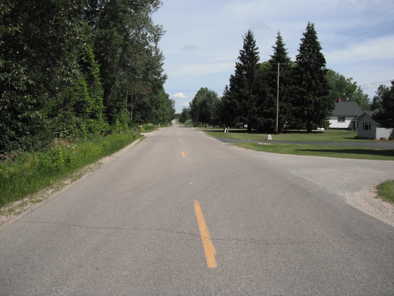
Road Approach - Left
Road Approach - Right
Crossing Information
Type of Crossing: culvert(s)
Number of Structures: 2
Structure Shape: Round
Inlet Type: Projecting
Structure Material: Metal
General Conditions: Fair
Multiple Culverts/Spans | ||||
Culvert/Span | Width | Length | Height | Material |
2 |
20 ft. |
54 ft. |
2 ft. |
Metal |
Structure Interior: corrugated
Dimensions of Structure: Length 54 ft.
, Width 2 ft.
, Height 2 ft.
Structure Inlet
Water Depth: 0.6 ft.
Embedded Depth of Structure: 0 ft.
Water Velocity*: 0.3 ft./sec.
Structure Outlet
Water Depth: 0.6 ft.
Embedded Depth of Structure: 0 ft.
Water Velocity*: 0.5 ft./sec.
*Water Velocities were measured at the Surface
(with Float Test)
Stream Information
Stream Flow: Less than 1/2 Bankfull
Scour Pool: Length 12.6 ft.
, Width 11.8 ft.
, Depth 0.8 ft.
Upstream Pond: Length 64 ft.
, Width 9.3 ft.
, Depth 0 ft.
Riffle Information
Water Depth: 0.3 ft.
Bankfull Width: 5.8 ft.
Wetted Width: 4.9 ft.
Water Velocity: 0.5 ft./sec.
(Measured with Float Test)
Dominant Substrate: Sand
Road Information
Paved
County Road
Road Condition: Fair
Road Width at Culvert: 22 ft.
Runoff Path: Ditch
Embankments
Upstream
Fill Depth: 3.9 ft.
Slope: More than 1:2
Downstream
Fill Depth: 2 ft.
Slope: More than 1:2
Approaches
Left Approach
Length: 1000 ft.
Slope: Less Than 1%
Vegetation: Heavy
LS Factor: 0.05
Erosion: 0.0364 tons/year
Right Approach
Length: 1000 ft.
Slope: 1% to 5%
Vegetation: Heavy
LS Factor: 0.57
Erosion: 0.4145 tons/year
Erosion Information
Total Erosion at Crossing: 0.4509 tons/year
Extent of Erosion: Minor
Notes: downstream inbetween the culverts
Summary Information
Fish Passability 0.9
�