
Road Stream Crossing Site RIF_OG269
Rifle River Watershed, Tributary of Ogemaw Creek
Sidney And 2nd St
West Branch Twp,
Ogemaw County
Information collected by:

Site Location
GPS Coordinates: 44.27883
, -84.23743
T22N
R2E
Sec 19
Severity: Minor
Year Inventoried: 2012
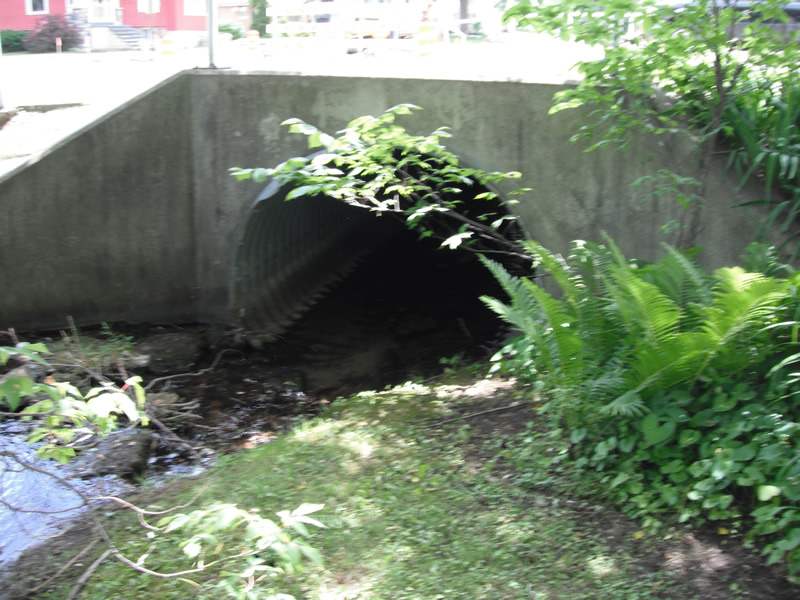
Inlet
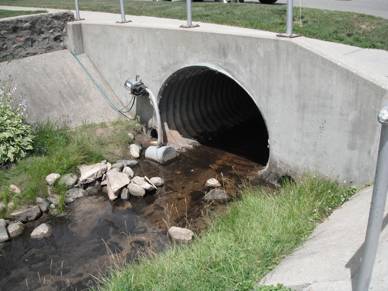
Outlet
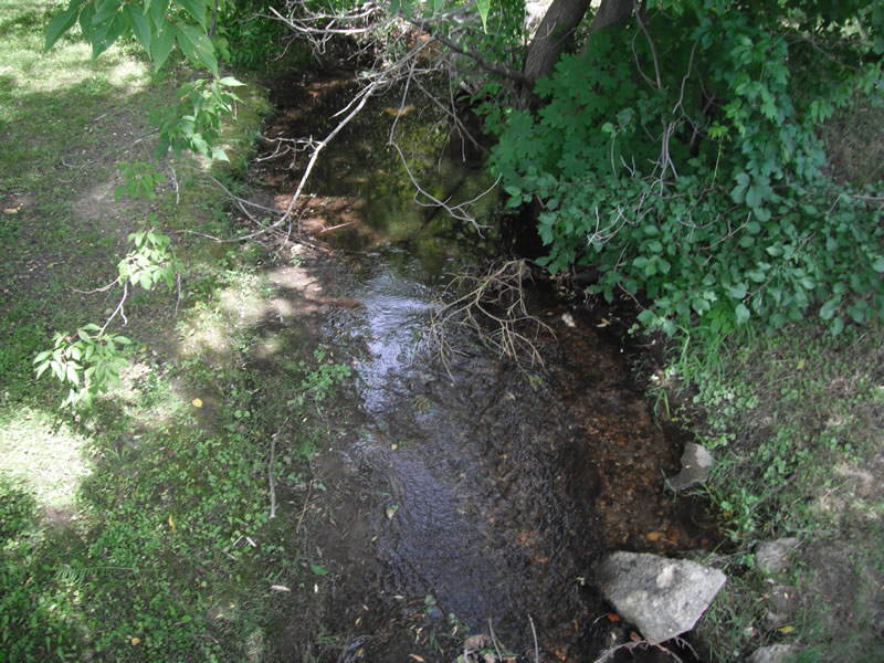
Upstream Conditions
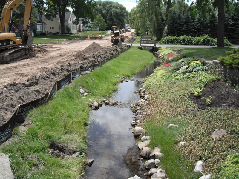
Downstream Conditions
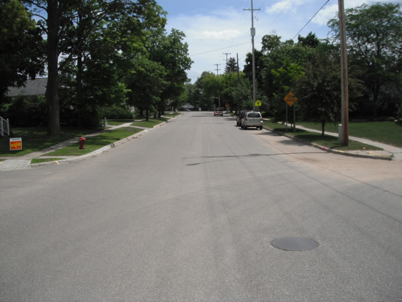
Road Approach - Left
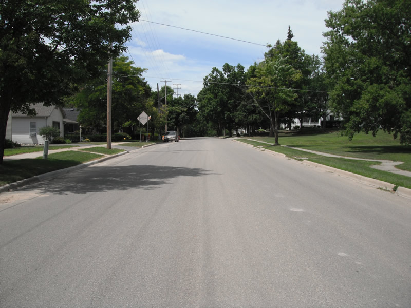
Road Approach - Right
Crossing Information
Type of Crossing: culvert(s)
Number of Structures: 1
Structure Shape: Pipe Arch
Inlet Type: Wingwall 10-30 Degree
Structure Material: Metal
Structure Substrate: Sand
General Conditions: Fair
Structure Interior: corrugated
, Width 6.4 ft.
, Height 4.8 ft.
Structure Inlet
Water Depth: 0.3 ft.
Embedded Depth of Structure: 0.3 ft.
Water Velocity*: 0.5 ft./sec.
Structure Outlet
Water Depth: 0.3 ft.
Embedded Depth of Structure: 0 ft.
Water Velocity*: 0.2 ft./sec.
*Water Velocities were measured at the Surface
(with Float Test)
Stream Information
Stream Flow: Less than 1/2 Bankfull
Scour Pool: Length 0 ft.
, Width 0 ft.
, Depth 0 ft.
Upstream Pond: Length 0 ft.
, Width 0 ft.
, Depth 0 ft.
Riffle Information
Water Depth: 0.2 ft.
Bankfull Width: 6 ft.
Wetted Width: 4.9 ft.
Water Velocity: 1 ft./sec.
(Measured with Float Test)
Road Information
Paved
Town Road
Road Condition: Fair
Location of Low Point: Other
Runoff Path: Ditch
Embankments
Upstream
Fill Depth: 1.5 ft.
Slope: Vertical
Downstream
Fill Depth: 2 ft.
Slope: Vertical
Vegetation: Partial
Slope: Less Than 1%
Vegetation: Partial
Erosion Information
Extent of Erosion: Stabilized
Erosion is occurring and corrective actions can be installed to address the problem.
Notes: all erosion lined with rock or concrete
Summary Information
A future visit to this site is recommended. concrustion is happening on downstream side