Road Stream Crossing Site RIF_OG276
Rifle River Watershed, Skunk Creek
River Rd
Cumming Twp,
Ogemaw County
Information collected by:
Site Location
GPS Coordinates: 44.3892676258881
, -84.0338337421417
T23N
R2E
Sec 14
Perch Height: 0.2 ft.
Total Erosion: 0.0969 tons/year
Severity: Severe
Year Inventoried: 2012
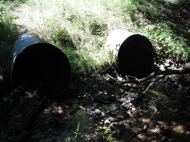
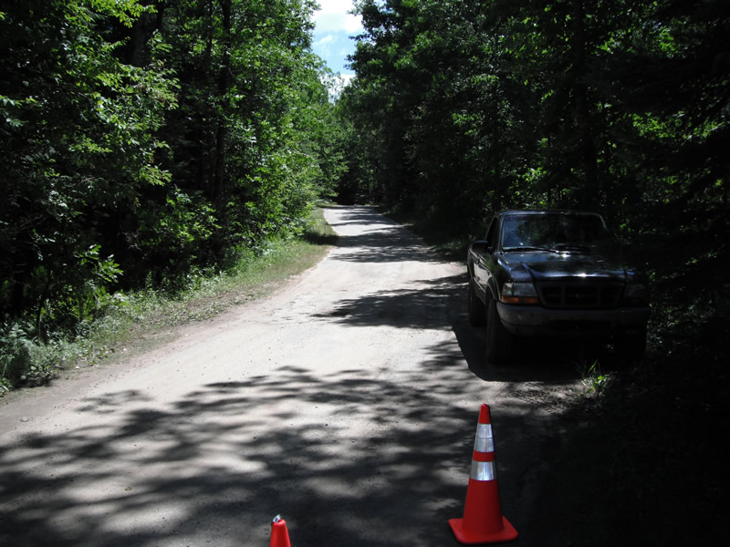
Inlet
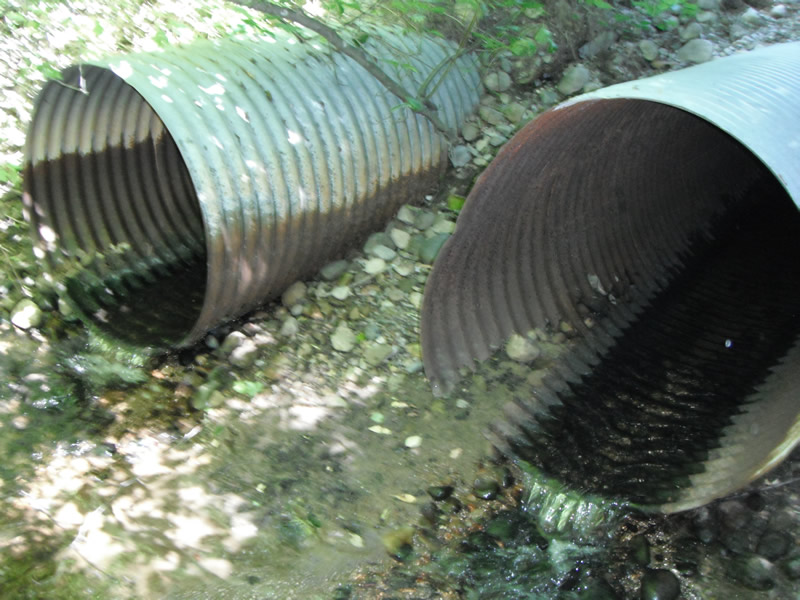
Outlet
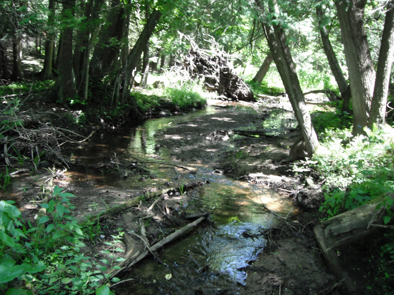
Upstream Conditions
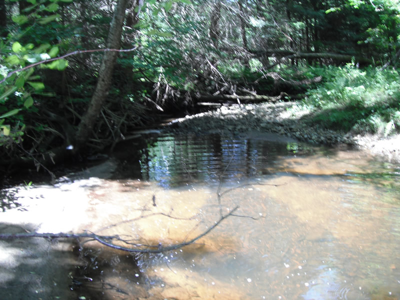
Downstream Conditions
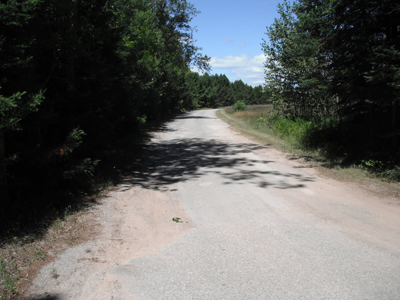
Road Approach - Left
Road Approach - Right
Crossing Information
Type of Crossing: culvert(s)
Number of Structures: 2
Structure Shape: Round
Inlet Type: Projecting
Outlet Type: Freefall into Pool
Structure Material: Metal
Structure Substrate: None
General Conditions: Poor
Multiple Culverts/Spans | ||||
Culvert/Span | Width | Length | Height | Material |
2 |
3.1 ft. |
54 ft. |
3.1 ft. |
Metal |
Structure Interior: corrugated
Structure is Rusted through
Dimensions of Structure: Length 54 ft.
, Width 3.1 ft.
, Height 3 ft.
Perch Height: 0.2 ft.
Structure Inlet
Water Depth: 0.1 ft.
Embedded Depth of Structure: 0 ft.
Water Velocity*: 1.5 ft./sec.
Structure Outlet
Water Depth: 0.2 ft.
Embedded Depth of Structure: 0 ft.
Water Velocity*: 2 ft./sec.
*Water Velocities were measured at the Surface
(with Float Test)
Stream Information
Stream Flow: Less than 1/2 Bankfull
Scour Pool: Length 33 ft.
, Width 25 ft.
, Depth 1.4 ft.
Upstream Pond: Length 0 ft.
, Width 0 ft.
, Depth 0 ft.
Riffle Information
Water Depth: 0.2 ft.
Bankfull Width: 5.6 ft.
Wetted Width: 5.4 ft.
Water Velocity: 1 ft./sec.
(Measured with Float Test)
Dominant Substrate: Cobble
Road Information
Paved
State Road
Road Condition: Fair
Road Width at Culvert: 15 ft.
Location of Low Point: At Stream
Runoff Path: Ditch
Slope: Vertical
Fill Depth: 2 ft.
Slope: 1:2
Approaches
Left Approach
Length: 366 ft.
Slope: 1% to 5%
Vegetation: Heavy
LS Factor: 0.473
Erosion: 0.0859 tons/year
Right Approach
Length: 444 ft.
Slope: Less Than 1%
Vegetation: Heavy
LS Factor: 0.05
Erosion: 0.011 tons/year
Erosion Information
Total Erosion at Crossing: 0.0969 tons/year
Extent of Erosion: Severe
Notes:
first one is downstream all sides, second upstream on top of pipes all sides
Summary Information
Fish Passage is an area of concern for this site.
fish passage and erosion
�