Road Stream Crossing Site RIF_OG277
Rifle River Watershed, Lost Creek
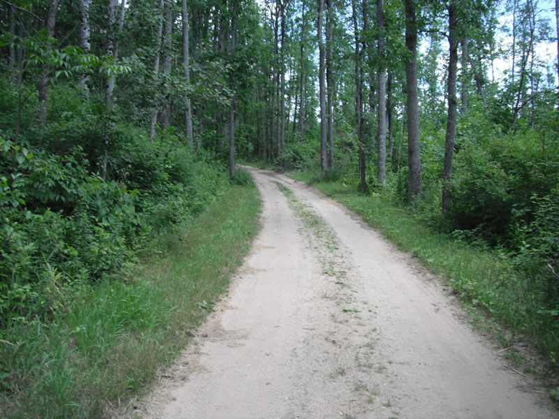
River Rd
Cumming Twp,
Ogemaw County
Information collected by:
Site Location
GPS Coordinates: 44.37275
, -84.04457
T23N
R2E
Sec 14
Fish Passability 0.5
Structure is NOT Perched
Severity: Moderate
Year Inventoried: 2012
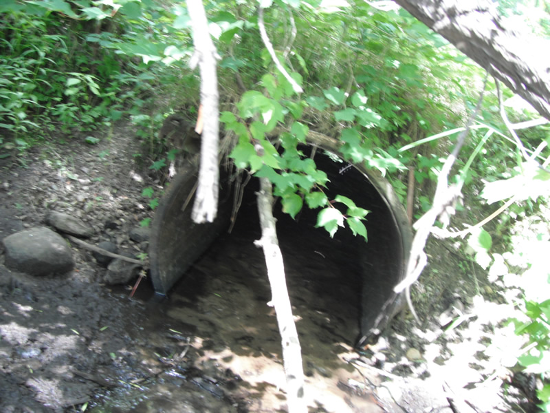
Inlet
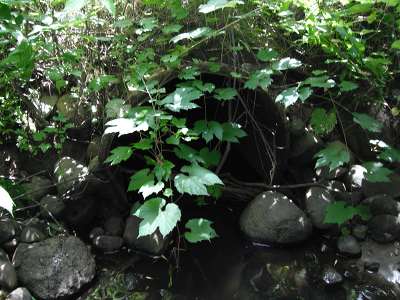
Outlet
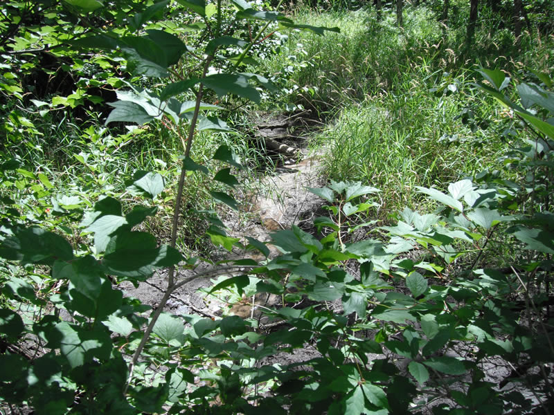
Upstream Conditions
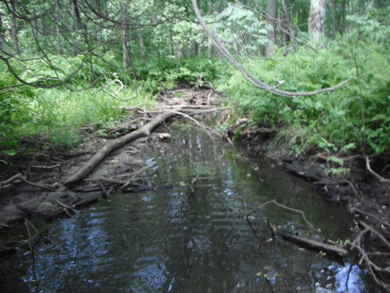
Downstream Conditions
Road Approach - Left
Road Approach - Right
Crossing Information
Type of Crossing: culvert(s)
Number of Structures: 1
Structure Shape: Round
Inlet Type: Projecting
Outlet Type: At Stream Grade
Structure Material: Metal
Structure Substrate: Sand
Structure Interior: smooth
Structure is Rusted through
Dimensions of Structure: Length 27 ft.
, Width 1.8 ft.
, Height 1.8 ft.
Structure is NOT Perched
Structure Inlet
Water Depth: 0.1 ft.
Embedded Depth of Structure: 0.5 ft.
Water Velocity*: 0.1 ft./sec.
Structure Outlet
Water Depth: 0.3 ft.
Embedded Depth of Structure: 0.1 ft.
Water Velocity*: 0.1 ft./sec.
*Water Velocities were measured at the Surface
(with Float Test)
Stream Information
Stream Flow: Less than 1/2 Bankfull
Scour Pool: Length 33 ft.
, Width 12.5 ft.
, Depth 1.2 ft.
Upstream Pond: Length 0 ft.
, Width 0 ft.
, Depth 0 ft.
Riffle Information
Water Depth: 0.1 ft.
Bankfull Width: 1.7 ft.
Wetted Width: 1.1 ft.
Water Velocity: 0.2 ft./sec.
(Measured with Float Test)
Dominant Substrate: Sand
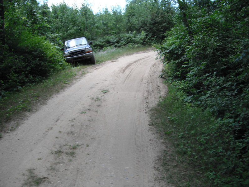
Road Information
Native Surface
State Road
Road Condition: Poor
Road Width at Culvert: 12 ft.
Location of Low Point: Other
Runoff Path: Ditch
Embankments
Upstream
Fill Depth: 1.4 ft.
Slope: 1:2
Downstream
Fill Depth: 1 ft.
Slope: 1:2
Length: 57 ft.
Slope: 1% to 5%
Vegetation: Heavy
Vegetation: Heavy
Erosion Information
Extent of Erosion: Moderate
Erosion is occurring and corrective actions can be installed to address the problem.
Notes: downstream side has walls in place to stop erosion
Location of Erosion | Erosion Dimensions | Eroded Material | Material Eroded | Total Erosion | ||
facing downstream | Length | Width | Depth | Reaching Stream? | (tons/year) | |
Right Upstream |
4.2 ft. |
2.4 ft. |
0.5 ft. |
yes |
Gravel |
0.0147 |
Left Upstream |
4.8 ft. |
1.9 ft. |
0.5 ft. |
yes |
Gravel |
0.0168 |
Summary Information
Fish Passability 0.5
�