Road Stream Crossing Site RIF_OG279
Rifle River Watershed, Unnamed Creek
Ranch Rd
Cumming Twp,
Ogemaw County
Information collected by:
Site Location
GPS Coordinates: 44.41167
, -84.03558
T23N
R3E
Sec 2
Fish Passability 0.9
Structure is NOT Perched
Total Erosion: 0.6096 tons/year
Severity: Moderate
Year Inventoried: 2012

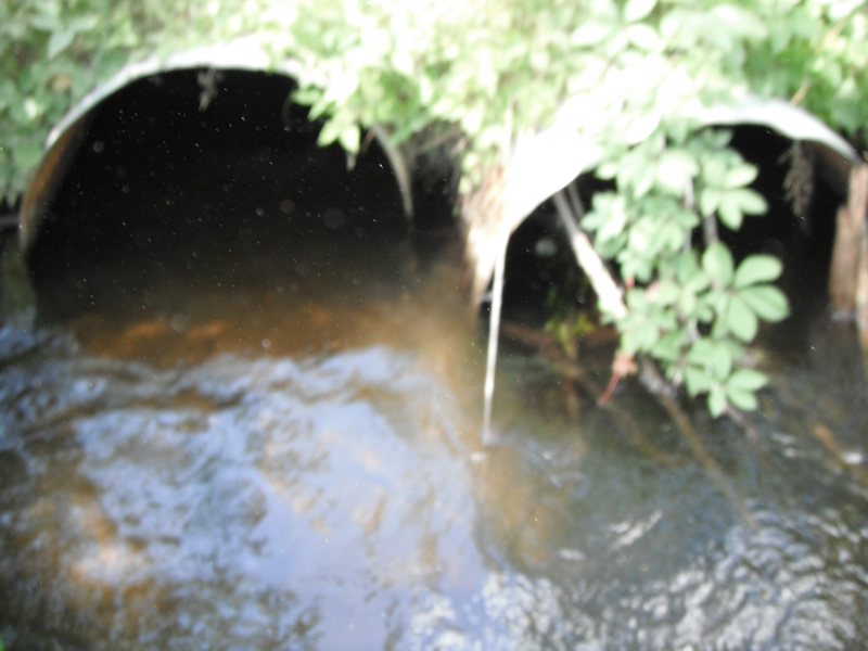
Inlet
Outlet
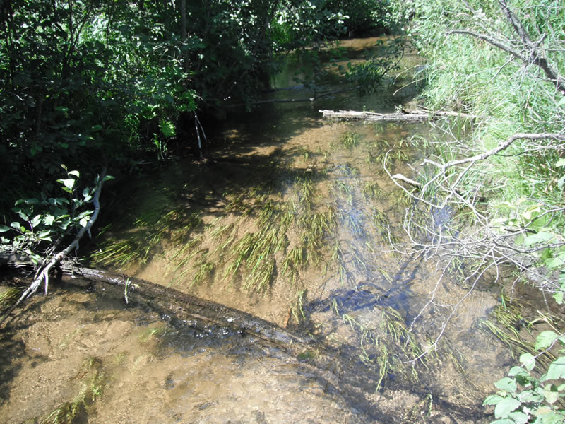
Upstream Conditions
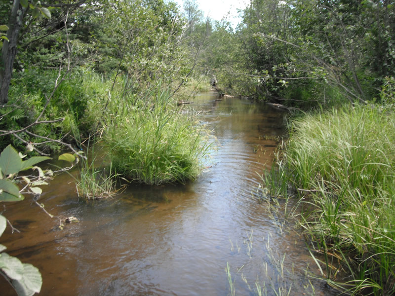
Downstream Conditions
Road Approach - Left
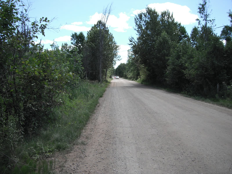
Road Approach - Right
Crossing Information
Type of Crossing: culvert(s)
Number of Structures: 2
Structure Shape: Round
Inlet Type: Projecting
Structure Material: Metal
Structure Substrate: Sand
General Conditions: Poor
Multiple Culverts/Spans | ||||
Culvert/Span | Width | Length | Height | Material |
2 |
2.9 ft. |
48 ft. |
3.1 ft. |
Metal |
Structure Interior: corrugated
Dimensions of Structure: Length 48 ft.
, Width 3 ft.
, Height 2 ft.
Structure is NOT Perched
Structure Inlet
Water Depth: 1.2 ft.
Embedded Depth of Structure: 0.5 ft.
Water Velocity*: 0.5 ft./sec.
Structure Outlet
Water Depth: 1.5 ft.
Embedded Depth of Structure: 0.1 ft.
Water Velocity*: 0.5 ft./sec.
*Water Velocities were measured at the Surface
(with Float Test)
Stream Information
Stream Flow: Less than 1/2 Bankfull
Scour Pool: Length 24 ft.
, Width 12.6 ft.
, Depth 2.1 ft.
Upstream Pond: Length 12 ft.
, Width 24 ft.
, Depth 0 ft.
Riffle Information
Water Depth: 0.9 ft.
Bankfull Width: 15.2 ft.
Wetted Width: 14.1 ft.
Water Velocity: 0.8 ft./sec.
(Measured with Float Test)
Dominant Substrate: Sand
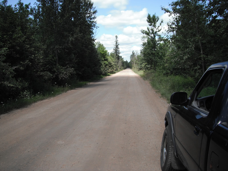
Road Information
Gravel
State Road
Road Condition: Fair
Road Width at Culvert: 22 ft.
Location of Low Point: At Stream
Runoff Path: Ditch
Embankments
Upstream
Fill Depth: 0.8 ft.
Slope: 1:2
Downstream
Fill Depth: 0 ft.
Slope: 1:2
Approaches
Left Approach
Length: 1000 ft.
Slope: Less Than 1%
Vegetation: Heavy
LS Factor: 0.05
Erosion: 0.303 tons/year
Right Approach
Length: 1000 ft.
Slope: Less Than 1%
Vegetation: Heavy
LS Factor: 0.05
Erosion: 0.303 tons/year
Erosion Information
Total Erosion at Crossing: 0.6096 tons/year
Extent of Erosion: Minor
Location of Erosion | Erosion Dimensions | Eroded Material | Material Eroded | Total Erosion | ||
facing downstream | Length | Width | Depth | Reaching Stream? | (tons/year) | |
Left Upstream |
2.1 ft. |
5.2 ft. |
1.5 ft. |
yes |
Sand |
0.0035 |
Summary Information
Fish Passability 0.9
A future visit to this site is recommended. culvert is bad shape and plugged
�