Road Stream Crossing Site RIF_OG281
Rifle River Watershed, Gamble Creek
Ranch Rd
Cumming Twp,
Ogemaw County
Information collected by:
Site Location
GPS Coordinates: 44.41463
, -84.02851
T23N
R3E
Sec 2
Fish Passability 0.5
Structure is NOT Perched
Severity: Moderate
Year Inventoried: 2012
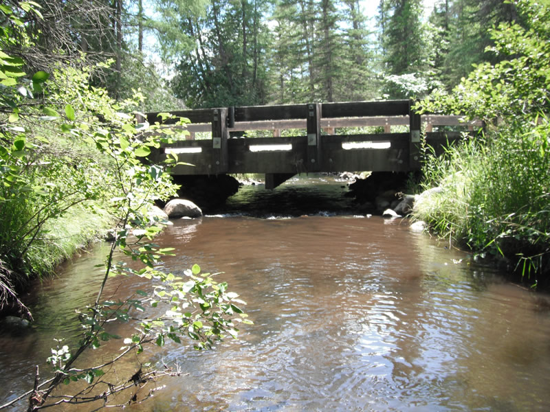
Inlet
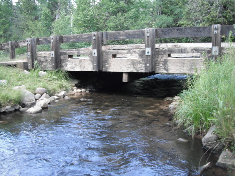
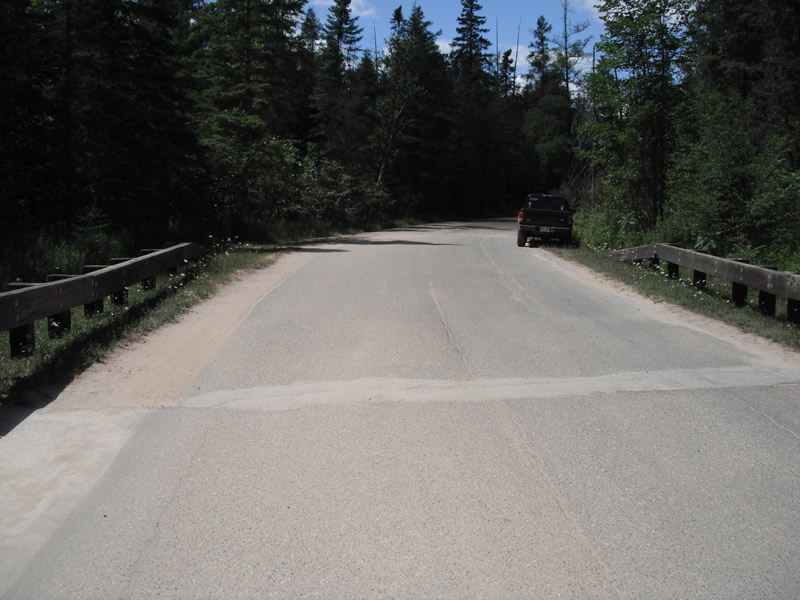
Outlet
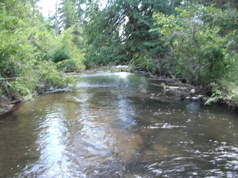
Upstream Conditions
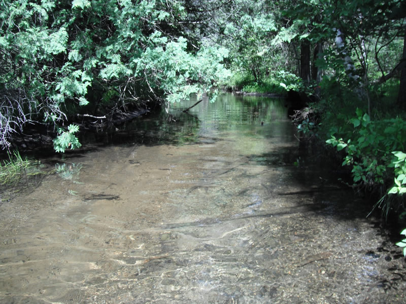
Downstream Conditions
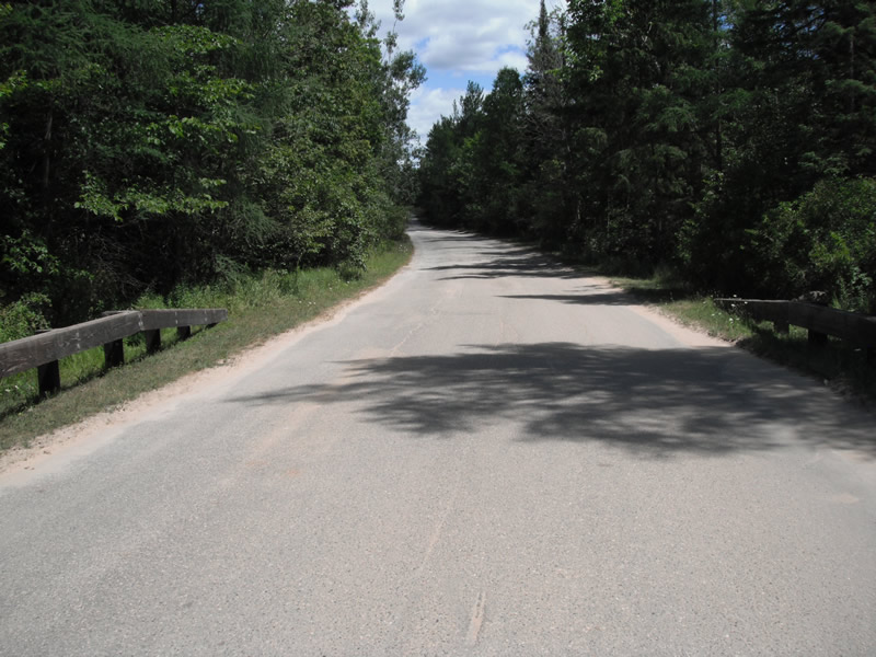
Road Approach - Left
Road Approach - Right
Crossing Information
Type of Crossing: Bridge
Structure Shape: Square/Rectangle
Inlet Type: Wingwall 10-30 Degree
Outlet Type: At Stream Grade
Structure Material: Wood
Structure Substrate: Mixture
General Conditions: Good
Structure Interior: smooth
Dimensions of Structure: Length 30 ft.
, Width 30 ft.
, Height 3.6 ft.
Structure is NOT Perched
Structure Inlet
Water Depth: 1.3 ft.
Embedded Depth of Structure: 0 ft.
Water Velocity*: 2.5 ft./sec.
Structure Outlet
Water Depth: 1.2 ft.
Embedded Depth of Structure: 0 ft.
Water Velocity*: 2 ft./sec.
(with Float Test)
Stream Information
Stream Flow: Less than 1/2 Bankfull
Scour Pool: Length 0 ft.
, Width 0 ft.
, Depth 0 ft.
Upstream Pond: Length 0 ft.
, Width 0 ft.
, Depth 0 ft.
Riffle Information
Water Depth: 1.1 ft.
Bankfull Width: 24 ft.
Wetted Width: 22 ft.
Water Velocity: 0.5 ft./sec.
(Measured with Float Test)
Dominant Substrate: Gravel
Road Information
Paved
State Road
Road Condition: Fair
Road Width at Culvert: 24 ft.
Location of Low Point: Other
Runoff Path: Ditch
Embankments
Upstream
Fill Depth: 2.2 ft.
Slope: Vertical
Downstream
Fill Depth: 2 ft.
Slope: Vertical
Vegetation: Heavy
Vegetation: Heavy
Erosion Information
Extent of Erosion: Stabilized
Notes: stream high the both approaches
Summary Information
Fish Passability 0.5
Fish Passage is an area of concern for this site.
the upstream is plugged by rocks
A future visit to this site is recommended. upstream almost has a dam made of rocks
�