Road Stream Crossing Site RIF_AR1
Rifle River Watershed, Wells Creek Triburary
Alger Rd
Moffatt Twp,
Arenac County
Information collected by:
Site Location
GPS Coordinates: 44.12671
, -84.13148
T20N
R3E
Sec 20
Fish Passability 0.5
Structure is NOT Perched
Total Erosion: 2.1822 tons/year
Severity: Moderate
Year Inventoried: 2012
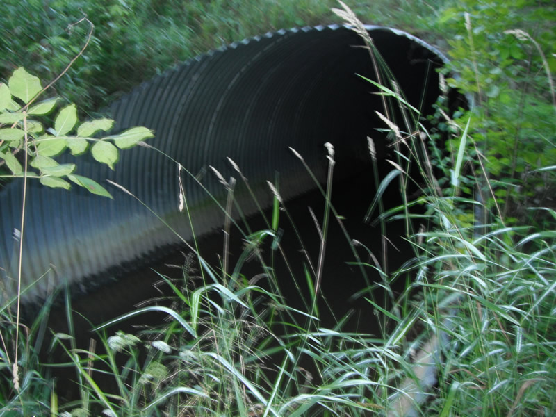
Inlet
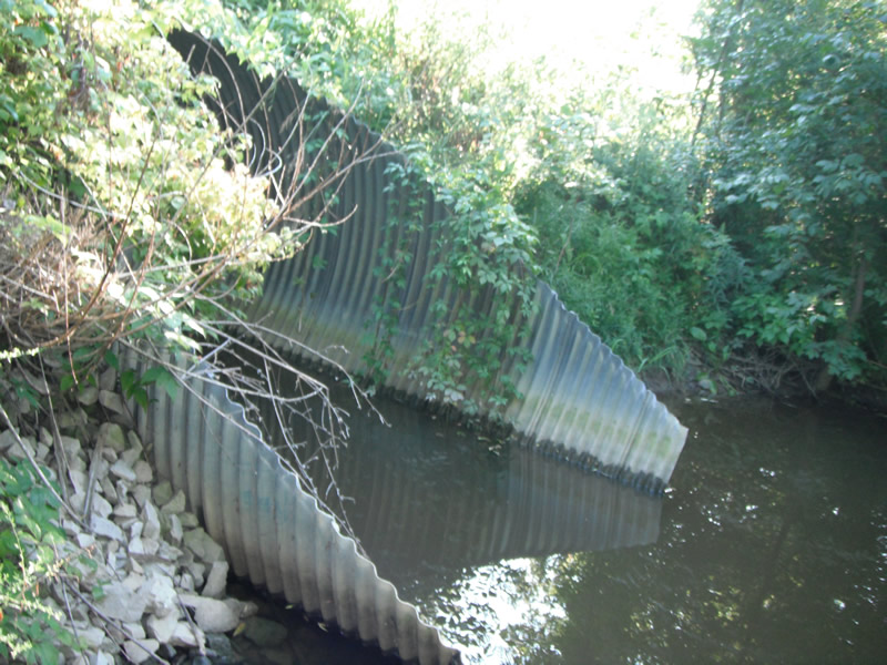
Outlet
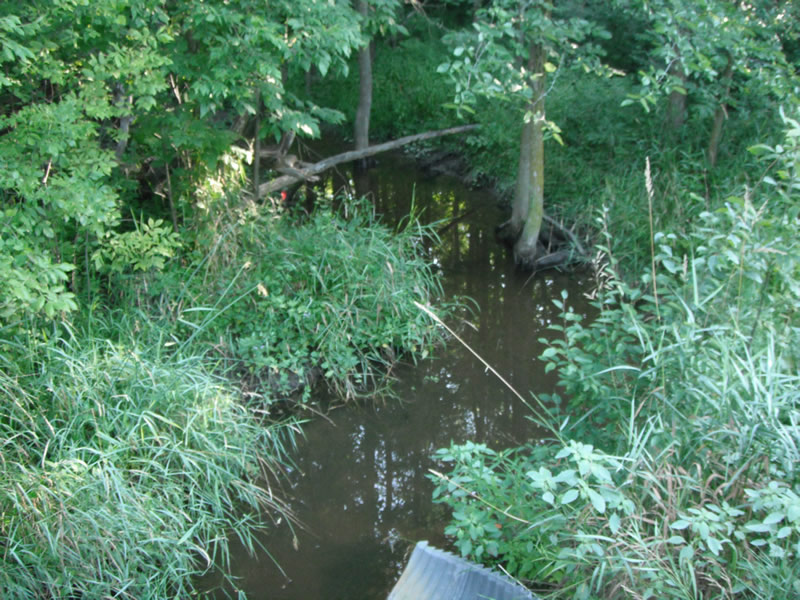
Upstream Conditions
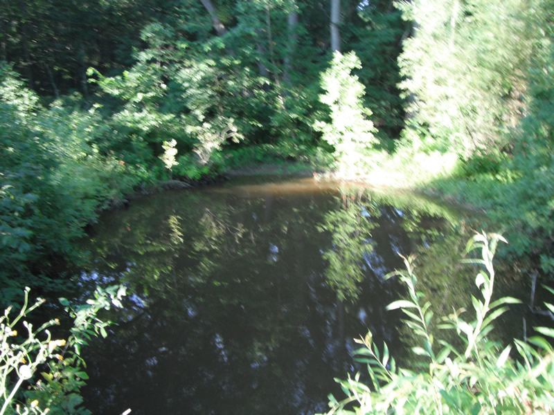
Downstream Conditions
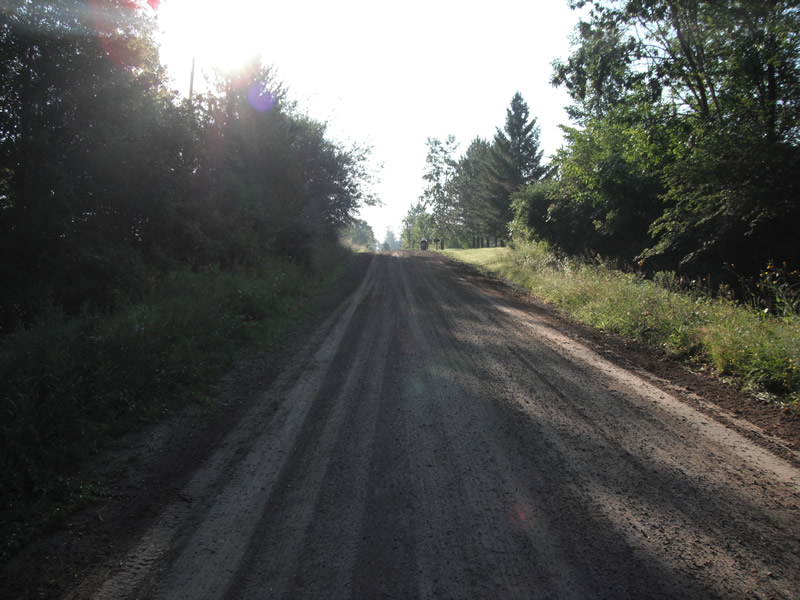
Road Approach - Left
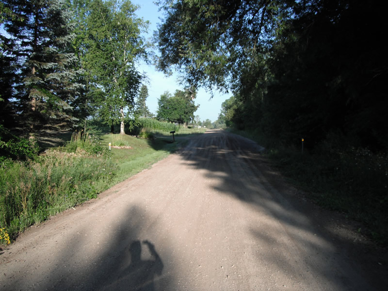
Road Approach - Right
Crossing Information
Type of Crossing: culvert(s)
Number of Structures: 1
Structure Shape: Pipe Arch
Inlet Type: Mitered
Outlet Type: At Stream Grade
Structure Material: Metal
Structure Substrate: None
General Conditions: Good
Structure Interior: corrugated
Dimensions of Structure: Length 46 ft.
, Width 9 ft.
, Height 7.9 ft.
Structure is NOT Perched
Structure Inlet
Water Depth: 1.9 ft.
Embedded Depth of Structure: 1.9 ft.
Water Velocity*: 0 ft./sec.
Structure Outlet
Water Depth: 2.3 ft.
Embedded Depth of Structure: 2.3 ft.
Water Velocity*: 0 ft./sec.
*Water Velocities were measured at the Surface
(with Float Test)
Stream Information
Stream Flow: None
Scour Pool: Length 66 ft.
, Width 42 ft.
, Depth 3.5 ft.
Upstream Pond: Length 11.2 ft.
, Width 27 ft.
, Depth 0 ft.
Riffle Information
Water Depth: 0.1 ft.
Bankfull Width: 9.2 ft.
Wetted Width: 3.4 ft.
Water Velocity: 0 ft./sec.
(Measured with Float Test)
Dominant Substrate: Sand
Road Information
Gravel
County Road
Road Condition: Fair
Road Width at Culvert: 18 ft.
Location of Low Point: At Stream
Runoff Path: Ditch
Embankments
Upstream
Fill Depth: 2.1 ft.
Slope: 1:2
Downstream
Fill Depth: 2 ft.
Slope: 1:2
Approaches
Left Approach
Length: 342 ft.
Slope: 1% to 5%
Vegetation: Heavy
LS Factor: 0.468
Erosion: 0.7943 tons/year
Right Approach
Length: 549 ft.
Slope: 1% to 5%
Vegetation: Heavy
LS Factor: 0.51
Erosion: 1.3878 tons/year
Erosion Information
Total Erosion at Crossing: 2.1822 tons/year
Extent of Erosion: Stabilized
Erosion is occurring and corrective actions can be installed to address the problem.
Notes: rip rap installed
Summary Information
Fish Passability 0.5
�