Road Stream Crossing Site RIF_AR4
Rifle River Watershed, Tributary of Mansfield Creek
Dobbler Rd
Clayton Twp,
Arenac County
Information collected by:
Site Location
GPS Coordinates: 44.15838
, -83.98746
T20N
R4E
Sec 9
Fish Passability 0.5
Total Erosion: 2.8154 tons/year
Severity: Severe
Year Inventoried: 2012
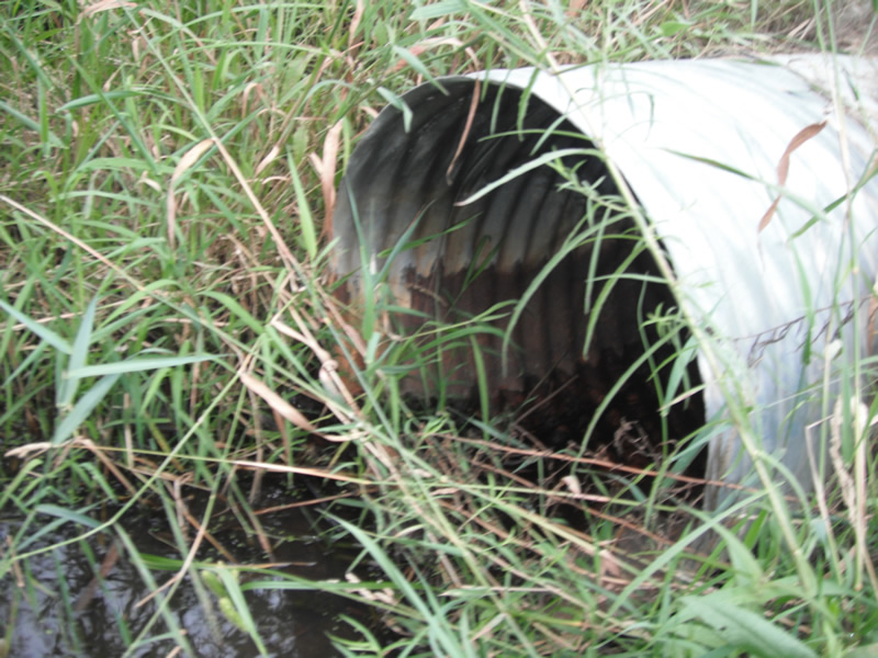
Inlet
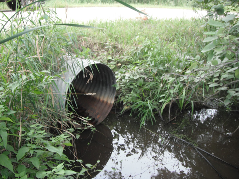
Outlet
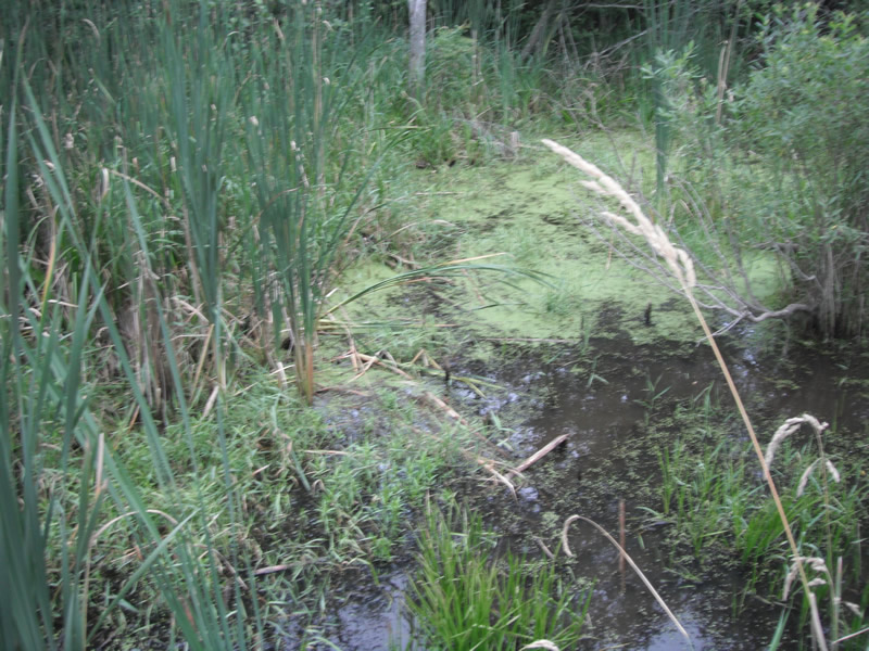
Upstream Conditions
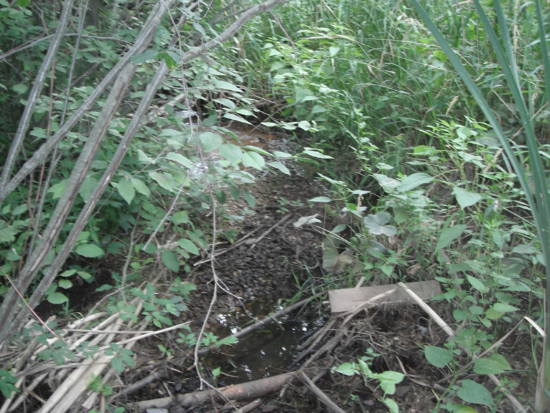
Downstream Conditions
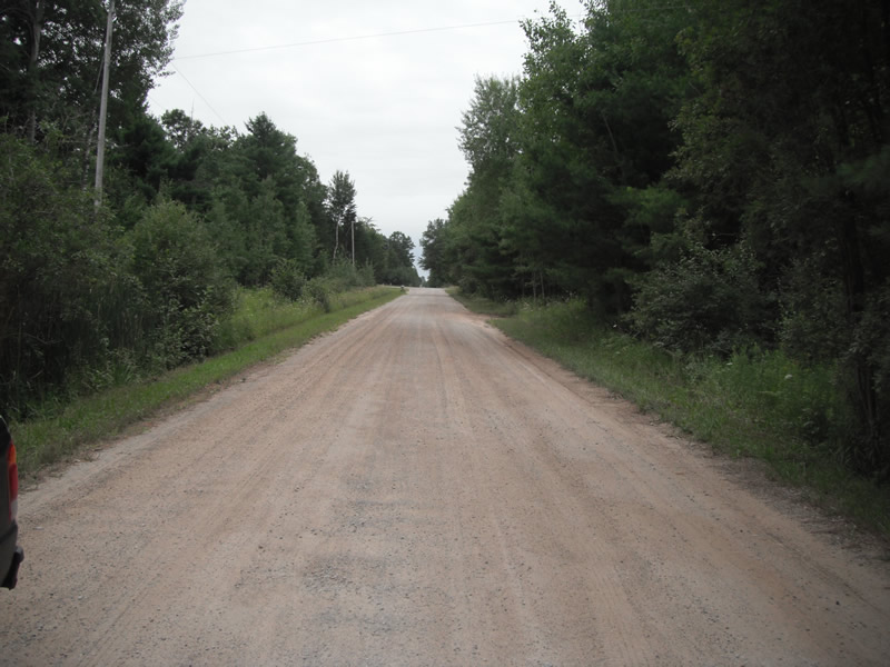
Road Approach - Left
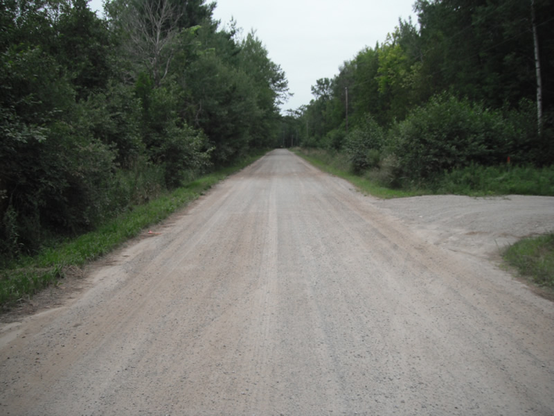
Road Approach - Right
Crossing Information
Type of Crossing: culvert(s)
Number of Structures: 2
Structure Shape: Round
Inlet Type: Projecting
Outlet Type: Freefall into Pool
Structure Material: Metal
Structure Substrate: None
General Conditions: Poor
Multiple Culverts/Spans | ||||
Culvert/Span | Width | Length | Height | Material |
2 |
2 ft. |
31 ft. |
1.8 ft. |
Metal |
Structure Interior: corrugated
Dimensions of Structure: Length 34 ft.
, Width 3 ft.
, Height 3.1 ft.
Water Depth: 0 ft.
Embedded Depth of Structure: 0 ft.
Water Velocity*: 0 ft./sec.
Water Depth: 0 ft.
Embedded Depth of Structure: 0 ft.
Water Velocity*: 0 ft./sec.
*Water Velocities were measured at the Surface
(with Float Test)
Stream Information
Stream Flow: None
Scour Pool: Length 22 ft.
, Width 21 ft.
, Depth 1.4 ft.
Upstream Pond: Length 0 ft.
, Width 0 ft.
, Depth 0 ft.
Riffle Information
Water Depth: 0 ft.
Bankfull Width: 0 ft.
Wetted Width: 0 ft.
Water Velocity: 0 ft./sec.
(Measured with Float Test)
Dominant Substrate: Gravel
Road Information
Gravel
County Road
Road Condition: Poor
Road Width at Culvert: 21 ft.
Location of Low Point: At Stream
Runoff Path: Ditch
Embankments
Upstream
Fill Depth: 0.1 ft.
Slope: Vertical
Downstream
Fill Depth: 0 ft.
Slope: Vertical
Approaches
Left Approach
Length: 795 ft.
Slope: 1% to 5%
Vegetation: Heavy
LS Factor: 0.549
Erosion: 2.5261 tons/year
Right Approach
Length: 1000 ft.
Slope: Less Than 1%
Vegetation: Heavy
LS Factor: 0.05
Erosion: 0.2893 tons/year
Erosion Information
Total Erosion at Crossing: 2.8154 tons/year
Extent of Erosion: Moderate
Notes: erosion is upstream and downstream on top of the pipes
Summary Information
Fish Passability 0.5
Fish Passage is an area of concern for this site.
A future visit to this site is recommended. cuvlerts to high impounding stream flow on upstream side
�