Road Stream Crossing Site RIF_AR12
Rifle River Watershed, North Branch Townline Creek
North Road
Clayton Twp,
Arenac County
Information collected by:
Site Location
GPS Coordinates: 44.11579
, -83.93705
T20N
R4E
Sec 24
Structure is NOT Perched
Total Erosion: 1.277 tons/year
Severity: Moderate
Year Inventoried: 2012
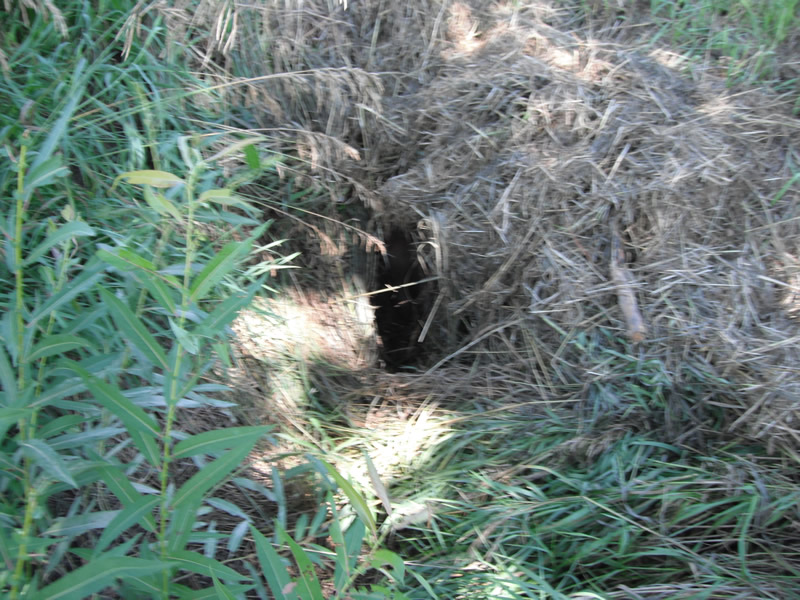
Inlet
Outlet
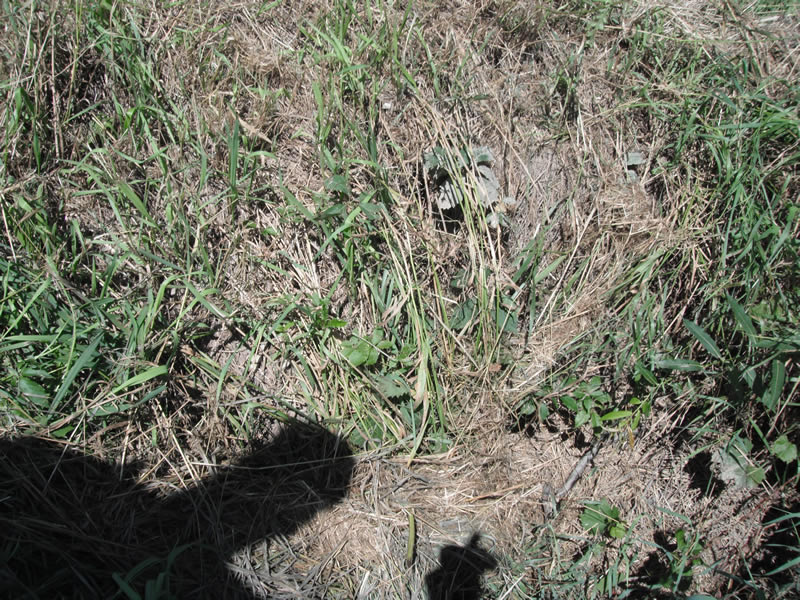
Upstream Conditions
Downstream Conditions
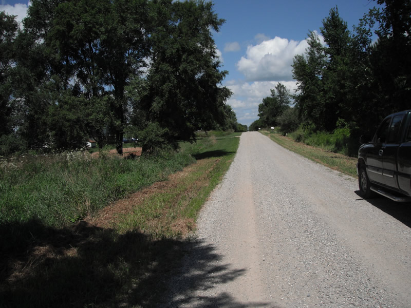
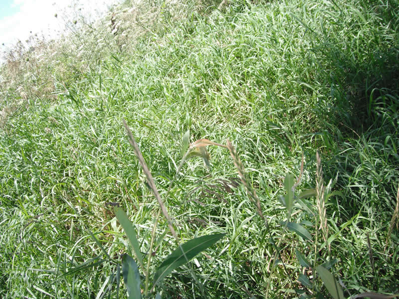
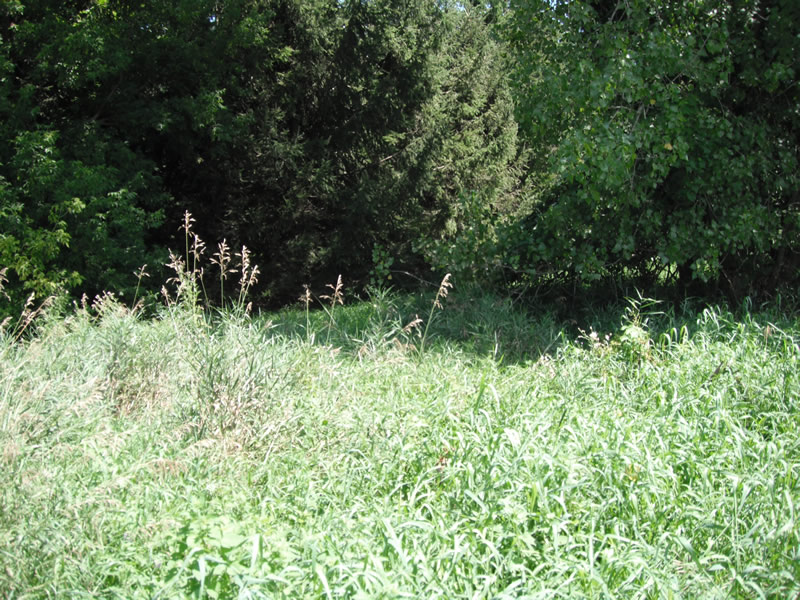
Road Approach - Left
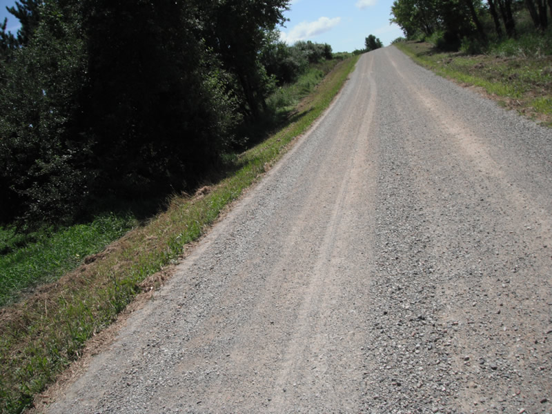
Road Approach - Right
Crossing Information
Type of Crossing: culvert(s)
Number of Structures: 1
Structure Shape: Round
Structure Interior: smooth
Dimensions of Structure: Length 28 ft.
, Width 2 ft.
, Height 2 ft.
Structure is NOT Perched
Water Depth: 0 ft.
Water Depth: 0 ft.
Stream Information
Stream Flow: None
Road Information
Gravel
County Road
Road Condition: Fair
Road Width at Culvert: 11 ft.
Runoff Path: Ditch
Embankments
Upstream
Fill Depth: 1 ft.
Slope: 1:1.5
Downstream
Fill Depth: 1 ft.
Slope: 1:1.5
Approaches
Left Approach
Length: 486 ft.
Slope: 1% to 5%
Vegetation: Heavy
LS Factor: 0.497
Erosion: 0.7322 tons/year
Right Approach
Length: 378 ft.
Slope: 1% to 5%
Vegetation: Heavy
LS Factor: 0.476
Erosion: 0.5448 tons/year
Erosion Information
Total Erosion at Crossing: 1.277 tons/year
Extent of Erosion: Stabilized
Notes: no
Summary Information
�