Road Stream Crossing Site RIF_AR14
Rifle River Watershed, North Branch Townline Creek
Briggs Rd
Clayton Twp,
Arenac County
Information collected by:
Site Location
GPS Coordinates: 44.10522
, -83.92729
T20N
R4E
Sec 25
Fish Passability 0.9
Structure is NOT Perched
Total Erosion: 3.8594 tons/year
Severity: Severe
Year Inventoried: 2012
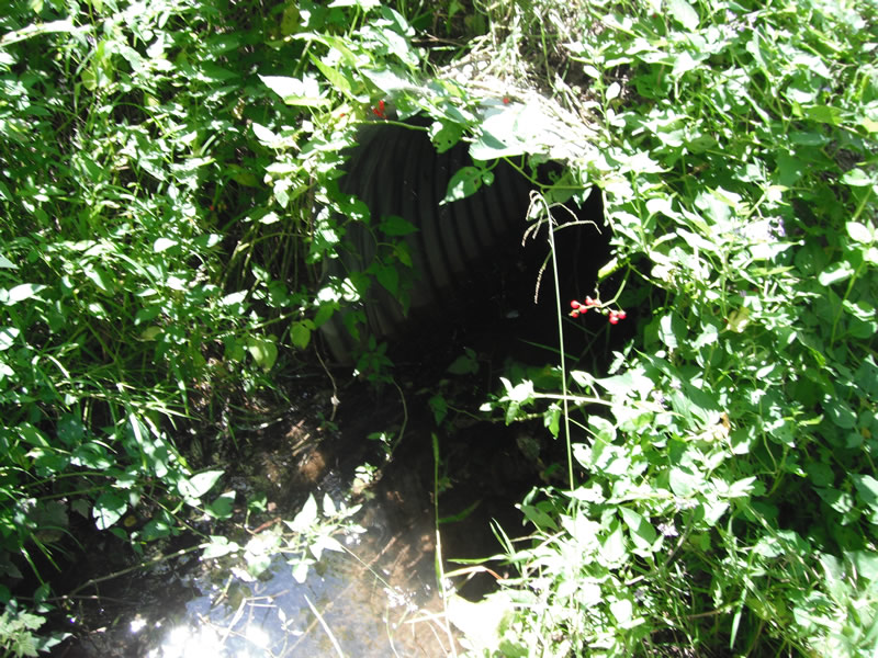
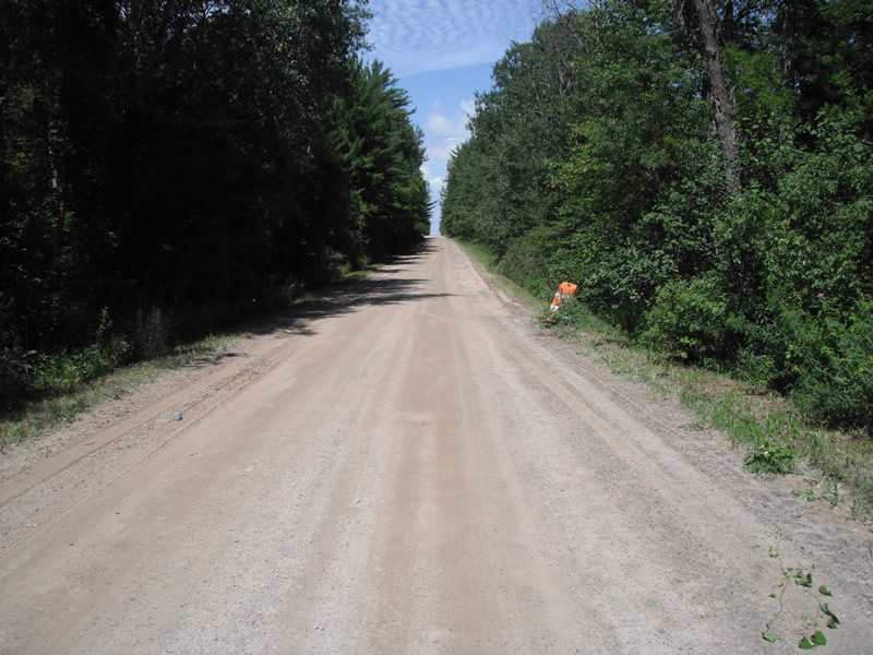
Inlet
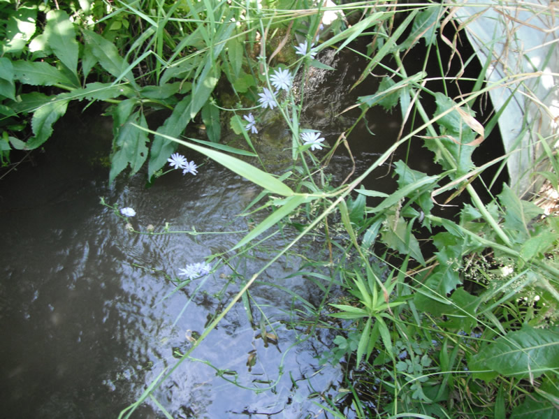
Outlet
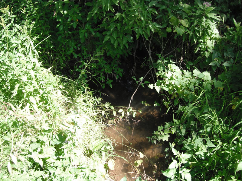
Upstream Conditions
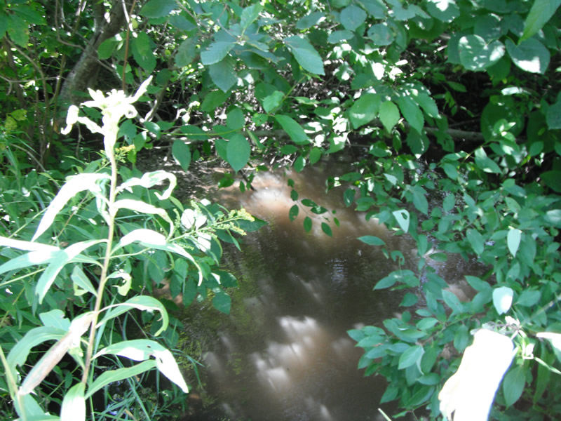
Downstream Conditions
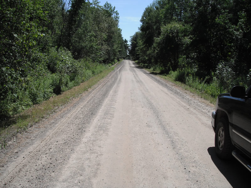
Road Approach - Left
Road Approach - Right
Crossing Information
Type of Crossing: culvert(s)
Number of Structures: 1
Structure Shape: Round
Inlet Type: Projecting
Outlet Type: At Stream Grade
Structure Material: Metal
Structure Substrate: None
General Conditions: Poor
Structure Interior: corrugated
Dimensions of Structure: Length 29 ft.
, Width 3 ft.
, Height 3.1 ft.
Structure is NOT Perched
Structure Inlet
Water Depth: 0.6 ft.
Embedded Depth of Structure: 0 ft.
Water Velocity*: 1 ft./sec.
Structure Outlet
Water Depth: 0.5 ft.
Embedded Depth of Structure: 0 ft.
Water Velocity*: 1.5 ft./sec.
*Water Velocities were measured at the Surface
(with Float Test)
Stream Information
Stream Flow: Less than 1/2 Bankfull
Scour Pool: Length 24 ft.
, Width 16 ft.
, Depth 1.5 ft.
Upstream Pond: Length 0 ft.
, Width 0 ft.
, Depth 0 ft.
Riffle Information
Water Depth: 0.5 ft.
Bankfull Width: 6 ft.
Wetted Width: 4.5 ft.
Water Velocity: 0.5 ft./sec.
(Measured with Float Test)
Dominant Substrate: Sand
Road Information
Gravel
County Road
Road Condition: Fair
Road Width at Culvert: 12 ft.
Location of Low Point: At Stream
Runoff Path: Ditch
Embankments
Upstream
Fill Depth: 0.5 ft.
Slope: Vertical
Downstream
Fill Depth: 0 ft.
Slope: Vertical
Approaches
Left Approach
Length: 1000 ft.
Slope: 1% to 5%
Vegetation: Heavy
LS Factor: 0.57
Erosion: 1.8843 tons/year
Right Approach
Length: 1000 ft.
Slope: 1% to 5%
Vegetation: Heavy
LS Factor: 0.57
Erosion: 1.8843 tons/year
Erosion Information
Total Erosion at Crossing: 3.8594 tons/year
Extent of Erosion: Moderate
Location of Erosion | Erosion Dimensions | Eroded Material | Material Eroded | Total Erosion | ||
facing downstream | Length | Width | Depth | Reaching Stream? | (tons/year) | |
Left Downstream |
4.2 ft. |
2.5 ft. |
1 ft. |
yes |
Sand |
0.0323 |
Right Downstream |
4.2 ft. |
2.7 ft. |
1 ft. |
yes |
Sand |
0.0323 |
Right Upstream |
3.4 ft. |
5.6 ft. |
1 ft. |
yes |
Sand |
0.0262 |
Summary Information
Fish Passability 0.9
�