Road Stream Crossing Site RIF_AR16
Rifle River Watershed, Townline Creek
Knight Rd
Clayton Twp,
Arenac County
Information collected by:
Site Location
GPS Coordinates: 44.0984
, -83.9369
T20N
R4E
Sec 25
Fish Passability 0.5
Structure is NOT Perched
Total Erosion: 6.4705 tons/year
Severity: Severe
Year Inventoried: 2012
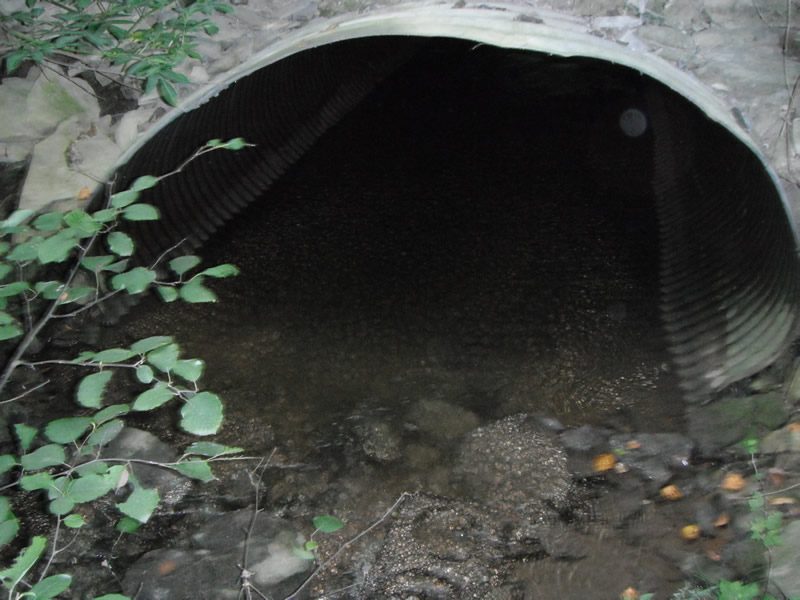
Inlet
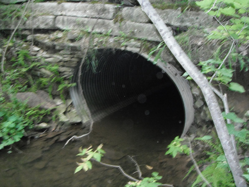
Outlet
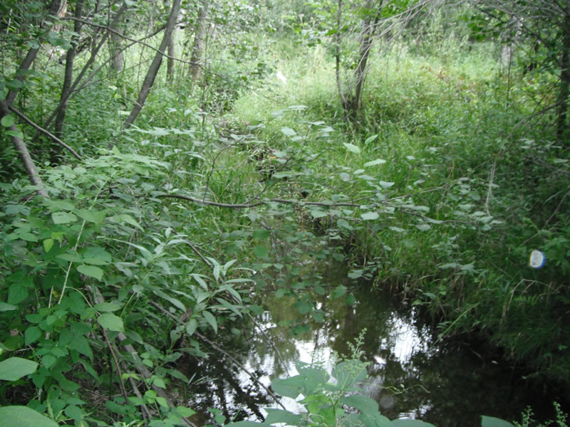
Upstream Conditions
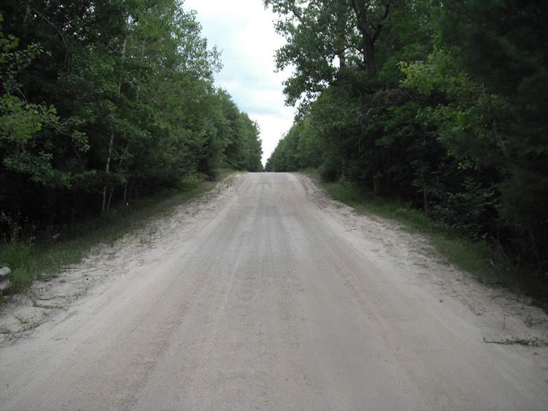
Road Approach - Left
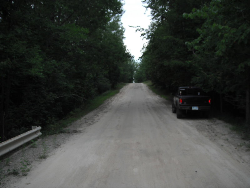
Road Approach - Right
Crossing Information
Type of Crossing: culvert(s)
Number of Structures: 1
Structure Shape: Pipe Arch
Inlet Type: Headwall
Outlet Type: At Stream Grade
Structure Material: Metal
Structure Substrate: None
General Conditions: Poor
Structure Interior: corrugated
Dimensions of Structure: Length 35 ft.
, Width 7.2 ft.
, Height 4.8 ft.
Structure is NOT Perched
Structure Inlet
Water Depth: 0.9 ft.
Embedded Depth of Structure: 0 ft.
Water Velocity*: 1 ft./sec.
Structure Outlet
Water Depth: 0.6 ft.
Embedded Depth of Structure: 0 ft.
Water Velocity*: 0.5 ft./sec.
*Water Velocities were measured at the Surface
(with Float Test)
Stream Information
Stream Flow: Less than 1/2 Bankfull
Scour Pool: Length 21 ft.
, Width 10.5 ft.
, Depth 1.3 ft.
Upstream Pond: Length 29 ft.
, Width 14.8 ft.
, Depth 0 ft.
Riffle Information
Water Depth: 0.5 ft.
Bankfull Width: 7.8 ft.
Wetted Width: 6.4 ft.
Water Velocity: 1.5 ft./sec.
(Measured with Float Test)
Dominant Substrate: Sand
Road Information
Gravel
County Road
Road Condition: Poor
Road Width at Culvert: 17 ft.
Location of Low Point: At Stream
Runoff Path: Ditch
Embankments
Upstream
Fill Depth: 12 ft.
Slope: Vertical
Downstream
Fill Depth: 12 ft.
Slope: Vertical
Approaches
Left Approach
Length: 330 ft.
Slope: 6% to 10%
Vegetation: Heavy
LS Factor: 1.439
Erosion: 2.2239 tons/year
Right Approach
Length: 540 ft.
Slope: 6% to 10%
Vegetation: Heavy
LS Factor: 1.677
Erosion: 4.241 tons/year
Erosion Information
Total Erosion at Crossing: 6.4705 tons/year
Extent of Erosion: Minor
Notes: from foot traffic
Location of Erosion | Erosion Dimensions | Eroded Material | Material Eroded | Total Erosion | ||
facing downstream | Length | Width | Depth | Reaching Stream? | (tons/year) | |
Right Downstream |
25 ft. |
1.5 ft. |
0.1 ft. |
no |
Sand |
0.0028 |
Left Downstream |
25 ft. |
1.5 ft. |
0.1 ft. |
no |
Sand |
0.0028 |
Summary Information
Fish Passability 0.5
Fish Passage is an area of concern for this site.
downstream rocks are making a waterfall
A future visit to this site is recommended. pipe is smashed and fish passage issuse
�