Road Stream Crossing Site RIF_AR19
Rifle River Watershed, Fritz Creek
Fritz Rd
Clayton Twp,
Arenac County
Information collected by:
Site Location
GPS Coordinates: 44.087331
, -83.97742
T20N
R4E
Sec 34
Fish Passability 0
Perch Height: 0.3 ft.
Total Erosion: 6.4319 tons/year
Severity: Severe
Year Inventoried: 2012
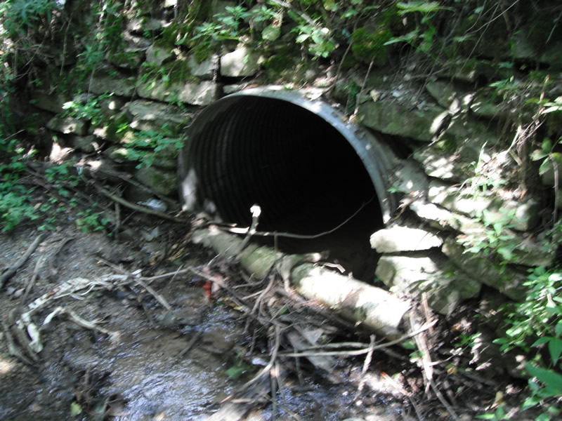
Inlet
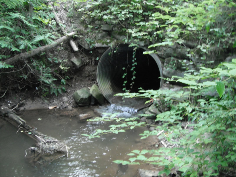
Outlet
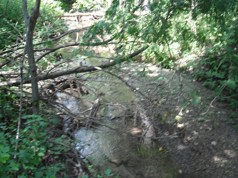
Upstream Conditions
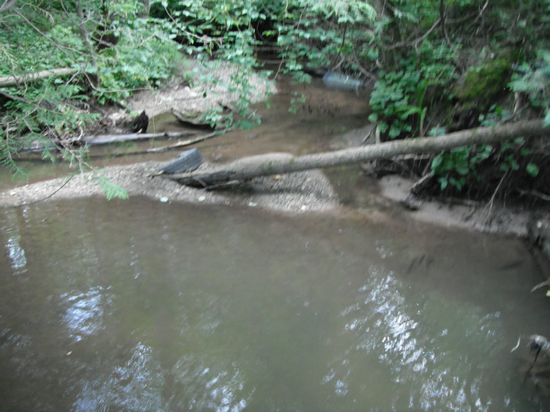
Downstream Conditions
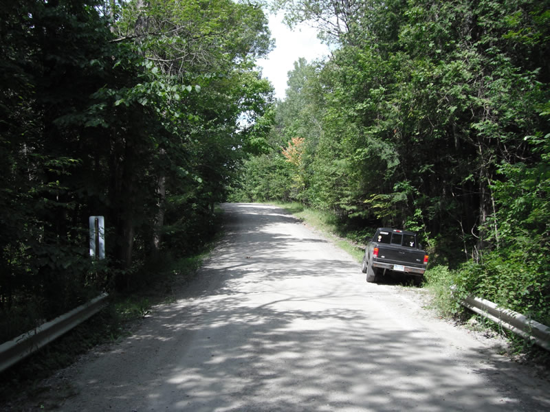
Road Approach - Left
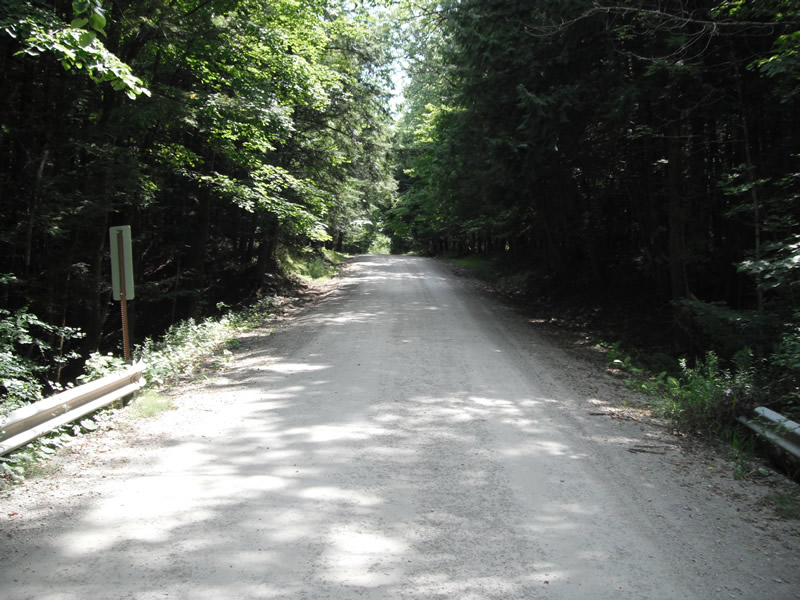
Road Approach - Right
Crossing Information
Type of Crossing: culvert(s)
Number of Structures: 1
Structure Shape: Round
Inlet Type: Headwall
Outlet Type: Freefall onto Riprap
Structure Material: Metal
Structure Substrate: None
General Conditions: Poor
Structure Interior: corrugated
Dimensions of Structure: Length 29 ft.
, Width 5.6 ft.
, Height 5 ft.
Perch Height: 0.3 ft.
Structure Inlet
Water Depth: 0.8 ft.
Embedded Depth of Structure: 0 ft.
Water Velocity*: 0.2 ft./sec.
Structure Outlet
Water Depth: 0.2 ft.
Embedded Depth of Structure: 0 ft.
Water Velocity*: 2 ft./sec.
*Water Velocities were measured at the Surface
(with Float Test)
Stream Information
Stream Flow: Less than 1/2 Bankfull
Scour Pool: Length 48 ft.
, Width 24 ft.
, Depth 1.5 ft.
Upstream Pond: Length 0 ft.
, Width 0 ft.
, Depth 0 ft.
Riffle Information
Water Depth: 0.2 ft.
Bankfull Width: 6.6 ft.
Wetted Width: 5.6 ft.
Water Velocity: 2 ft./sec.
(Measured with Float Test)
Dominant Substrate: Gravel
Road Information
Gravel
County Road
Road Condition: Poor
Road Width at Culvert: 14 ft.
Location of Low Point: At Stream
Runoff Path: Ditch
Embankments
Upstream
Fill Depth: 5.2 ft.
Slope: Vertical
Downstream
Fill Depth: 7 ft.
Slope: Vertical
Approaches
Left Approach
Length: 426 ft.
Slope: 6% to 10%
Vegetation: Heavy
LS Factor: 1.557
Erosion: 2.5586 tons/year
Right Approach
Length: 570 ft.
Slope: 6% to 10%
Vegetation: Heavy
LS Factor: 1.709
Erosion: 3.7559 tons/year
Erosion Information
Total Erosion at Crossing: 6.4319 tons/year
Extent of Erosion: Moderate
Notes: upstream on top of pipe
Left Downstream
12.9 ft.
2.8 ft.
1.3 ft.
no
Gravel
0.1174
Summary Information
Fish Passability 0
Fish Passage is an area of concern for this site.
perched culvert and erosion underming rd
A future visit to this site is recommended. above
�