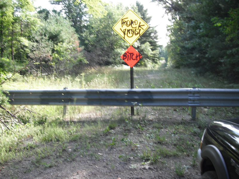
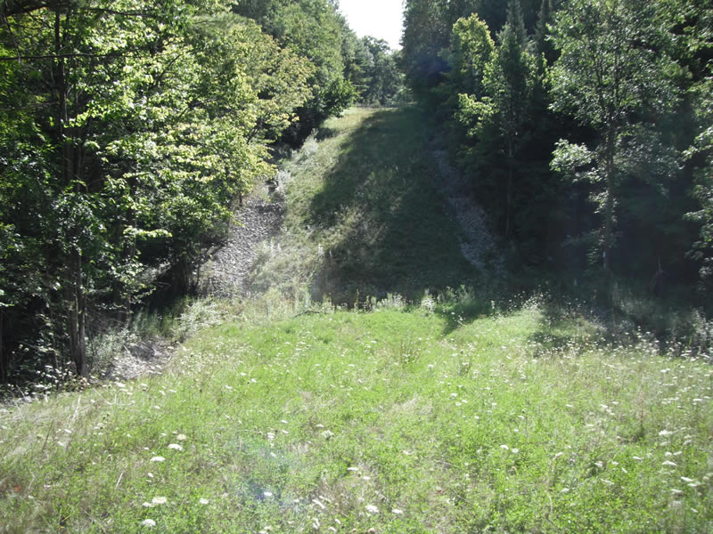
Road Stream Crossing Site RIF_AR21
Rifle River Watershed, Townline Creek
Townline Rd
Deep River Twp,
Arenac County
Information collected by:
Site Location
GPS Coordinates: 44.08396
, -83.92939
T19N
R4E
Sec 1
Year Inventoried: 2012
Road Approach - Left
Road Approach - Right
Crossing Information
Additional Comments
no longer a road stream crossing
Road Information
Erosion Information
Summary Information
�