Road Stream Crossing Site RIF_AR23
Rifle River Watershed, Tributary of Rifle River
Melita Rd
Deep River Twp,
Arenac County
Information collected by:
Site Location
GPS Coordinates: 44.08296
, -84.00906
T19N
R4E
Sec 5
Fish Passability 0.5
Structure is NOT Perched
Severity: Moderate
Year Inventoried: 2012
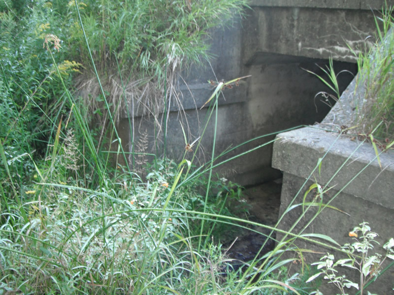
Inlet
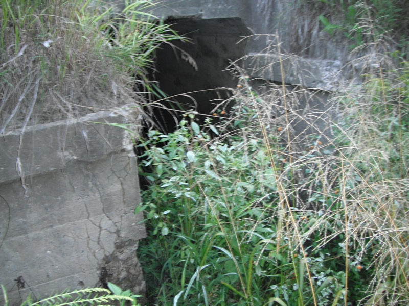
Outlet
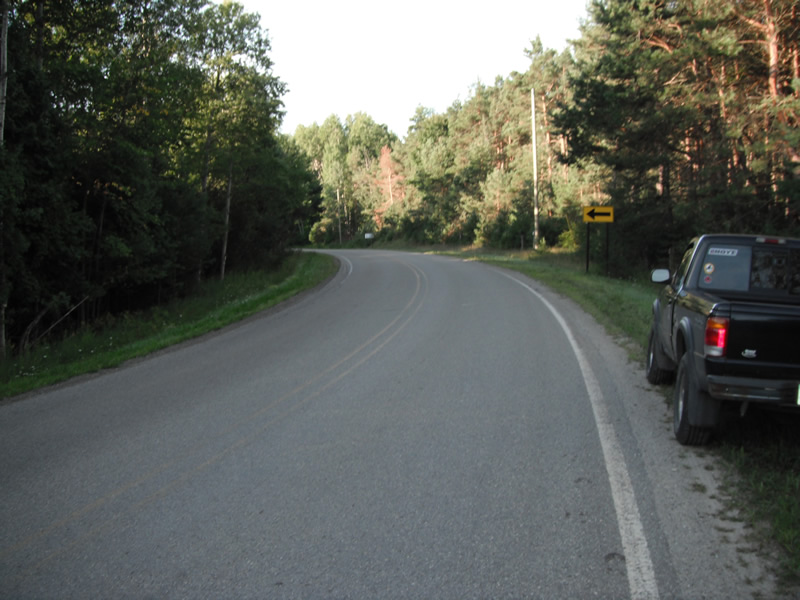
Upstream Conditions
Downstream Conditions
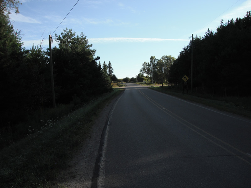
Road Approach - Left
Road Approach - Right
Crossing Information
Type of Crossing: culvert(s)
Number of Structures: 1
Structure Shape: Square/Rectangle
Inlet Type: Headwall
Outlet Type: At Stream Grade
Structure Material: Concrete
Structure Substrate: Sand
General Conditions: Poor
Structure Interior: smooth
Dimensions of Structure: Length 57 ft.
, Width 5 ft.
, Height 5.5 ft.
Structure is NOT Perched
Structure Inlet
Water Depth: 0.1 ft.
Embedded Depth of Structure: 0.2 ft.
Water Velocity*: 0.2 ft./sec.
Structure Outlet
Water Depth: 0.1 ft.
Embedded Depth of Structure: 0.2 ft.
Water Velocity*: 0.2 ft./sec.
*Water Velocities were measured at the Surface
(with Float Test)
Stream Information
Stream Flow: Less than 1/2 Bankfull
Scour Pool: Length 0 ft.
, Width 0 ft.
, Depth 0 ft.
Upstream Pond: Length 0 ft.
, Width 0 ft.
, Depth 0 ft.
Riffle Information
Water Depth: 0.1 ft.
Bankfull Width: 1.8 ft.
Wetted Width: 0.8 ft.
Water Velocity: 0.2 ft./sec.
(Measured with Float Test)
Dominant Substrate: Sand
Road Information
Paved
County Road
Road Condition: Fair
Road Width at Culvert: 25 ft.
Location of Low Point: Other
Runoff Path: Ditch
Embankments
Upstream
Fill Depth: 5 ft.
Slope: 1:2
Downstream
Fill Depth: 3 ft.
Slope: Vertical
Length: 783 ft.
Slope: 1% to 5%
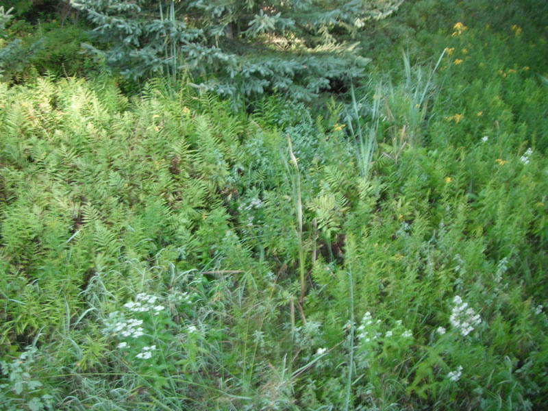
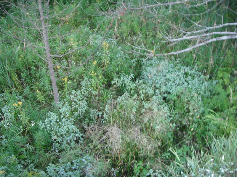
Vegetation: Heavy
Vegetation: Heavy
Erosion Information
Extent of Erosion: Stabilized
Notes: very heavy vegatated
Summary Information
Fish Passability 0.5
A future visit to this site is recommended. culvert is falling apart
�