Road Stream Crossing Site RIF_AR33
Rifle River Watershed, Rifle River
Arenac State Rd
Arenac Twp,
Arenac County
Information collected by:
Site Location
GPS Coordinates: 44.03458
, -83.84684
T19N
R5E
Sec 23
Fish Passability 0.5
Structure is NOT Perched
Total Erosion: 0.0912 tons/year
Severity: Moderate
Year Inventoried: 2012
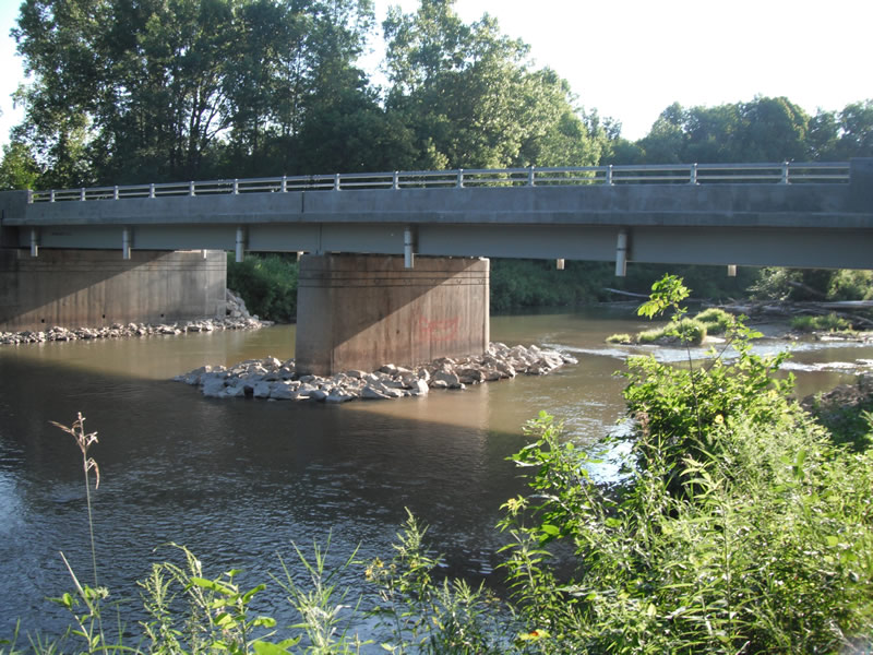
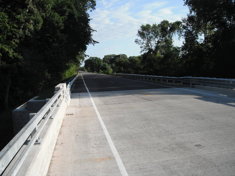
Inlet
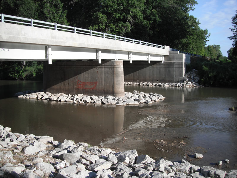
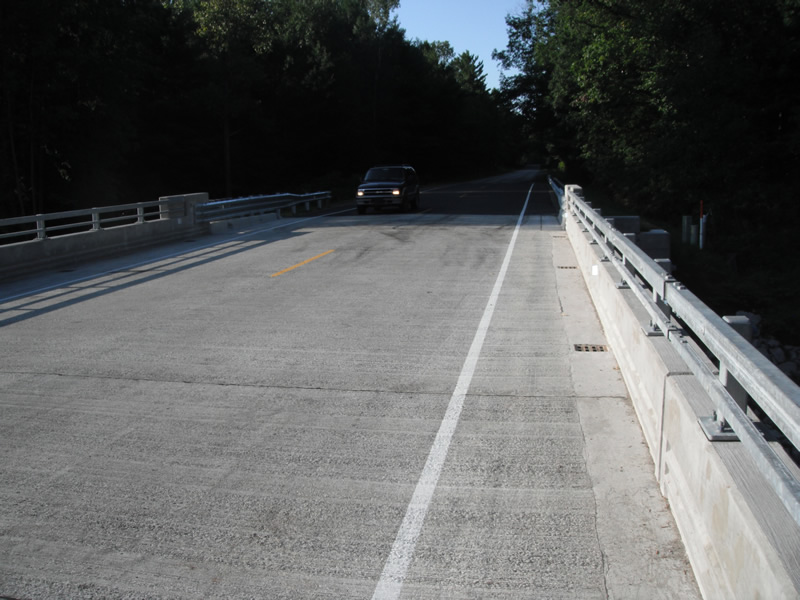
Outlet
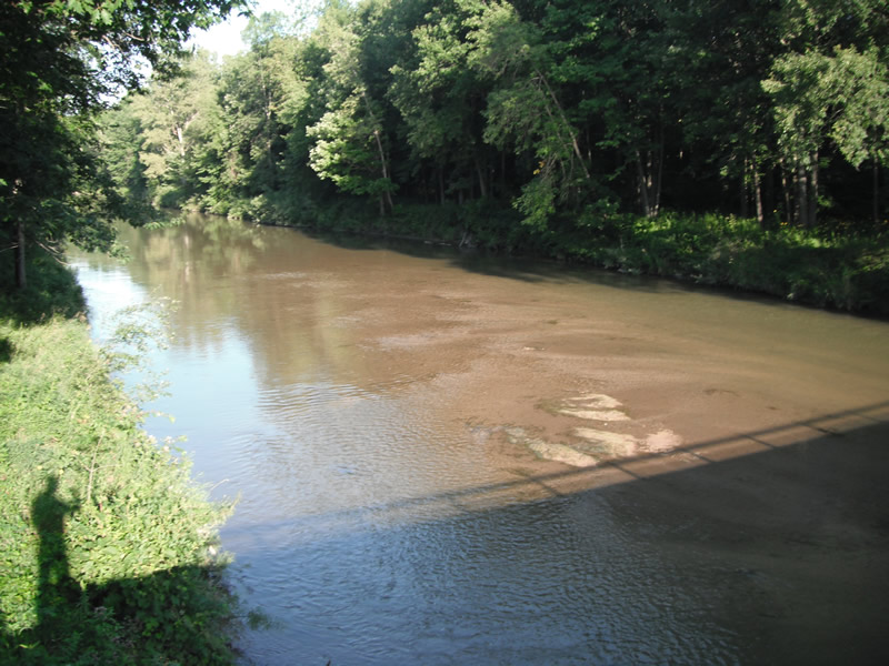
Upstream Conditions
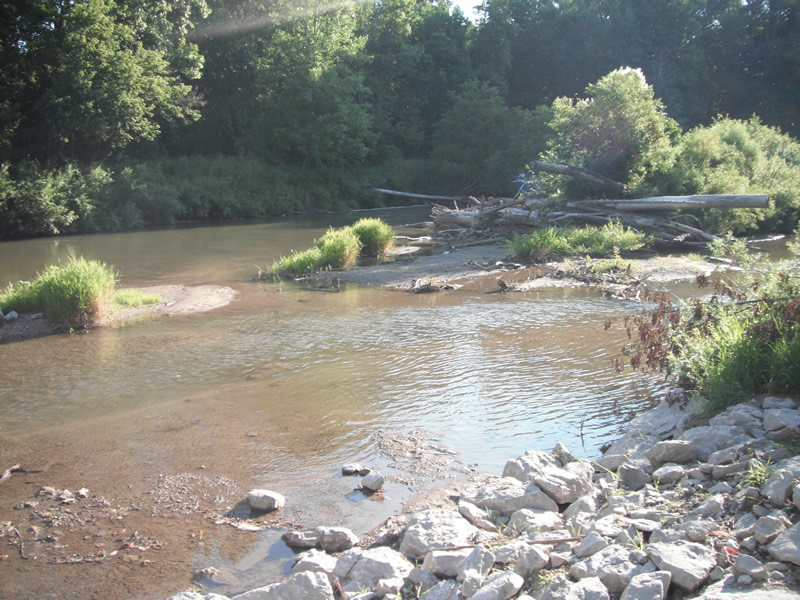
Downstream Conditions
Road Approach - Left
Road Approach - Right
Crossing Information
Type of Crossing: Bridge
Number of Structures: 2
Structure Shape: Open Bottom Square/Rectangle
Inlet Type: Headwall
Outlet Type: At Stream Grade
Structure Material: Concrete
Structure Substrate: Mixture
General Conditions: New
Multiple Culverts/Spans | ||||
Culvert/Span | Width | Length | Height | Material |
2 |
56 ft. |
33 ft. |
15 ft. |
Concrete |
Structure Interior: smooth
Dimensions of Structure: Length 33 ft.
, Width 56 ft.
, Height 15 ft.
Structure is NOT Perched
Structure Inlet
Water Depth: 2.5 ft.
Water Velocity*: 2 ft./sec.
Structure Outlet
Water Depth: 2.5 ft.
Water Velocity*: 2 ft./sec.
*Water Velocities were measured at the Surface
(with Float Test)
Stream Information
Stream Flow: Less than 1/2 Bankfull
Scour Pool: Length 0 ft.
, Width 0 ft.
, Depth 0 ft.
Upstream Pond: Length 0 ft.
, Width 0 ft.
, Depth 0 ft.
Riffle Information
Water Depth: 0.5 ft.
Bankfull Width: 120 ft.
Wetted Width: 117 ft.
Water Velocity: 1.5 ft./sec.
(Measured with Float Test)
Dominant Substrate: Sand
Road Information
Paved
County Road
Road Condition: Fair
Road Width at Culvert: 23 ft.
Location of Low Point: At Stream
Runoff Path: Ditch
Embankments
Upstream
Fill Depth: 4 ft.
Slope: Vertical
Downstream
Fill Depth: 4 ft.
Slope: Vertical
Approaches
Left Approach
Length: 1000 ft.
Slope: Less Than 1%
Vegetation: Partial
LS Factor: 0.06
Erosion: 0.0456 tons/year
Right Approach
Length: 1000 ft.
Slope: Less Than 1%
Vegetation: Partial
LS Factor: 0.06
Erosion: 0.0456 tons/year
Erosion Information
Total Erosion at Crossing: 0.0912 tons/year
Extent of Erosion: Stabilized
Erosion is occurring and corrective actions can be installed to address the problem.
Notes: newly installed riprap- erosion fence- new seeding
Summary Information
Fish Passability 0.5
�