Road Stream Crossing Site RIF_AR39
Rifle River Watershed, Rifle River
Hickey Island Rd
Arenac Twp,
Arenac County
Information collected by:
Site Location
GPS Coordinates: 44.01514
, -83.82437
T19N
R5E
Sec 25
Fish Passability 0.5
Severity: Moderate
Year Inventoried: 2012
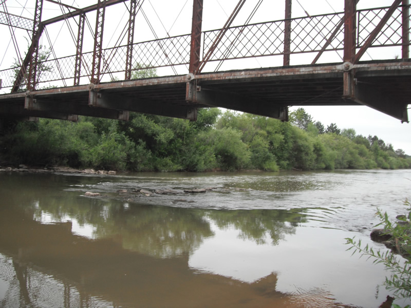
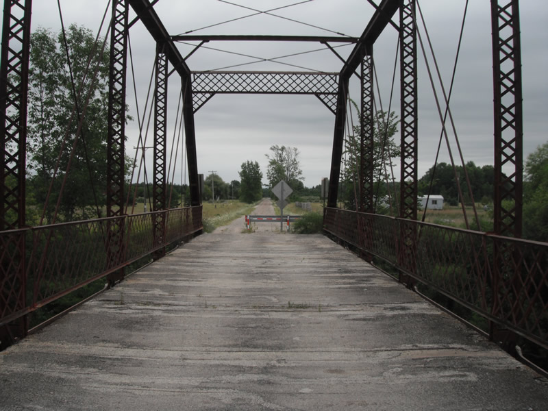
Inlet
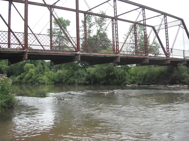
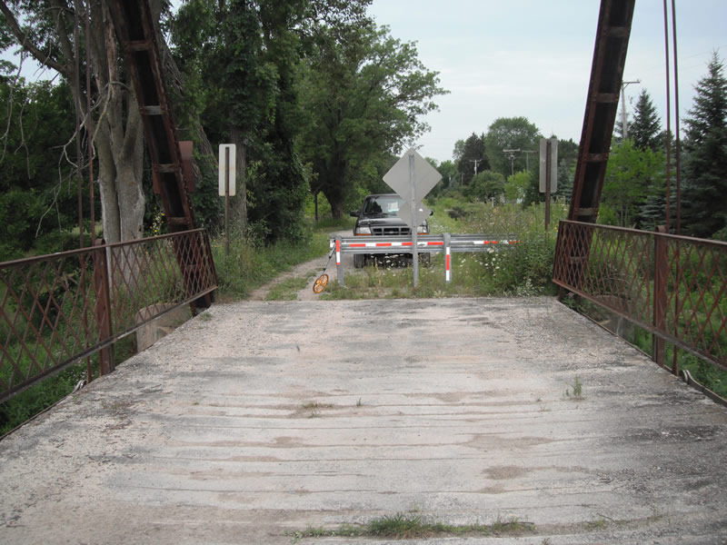
Outlet
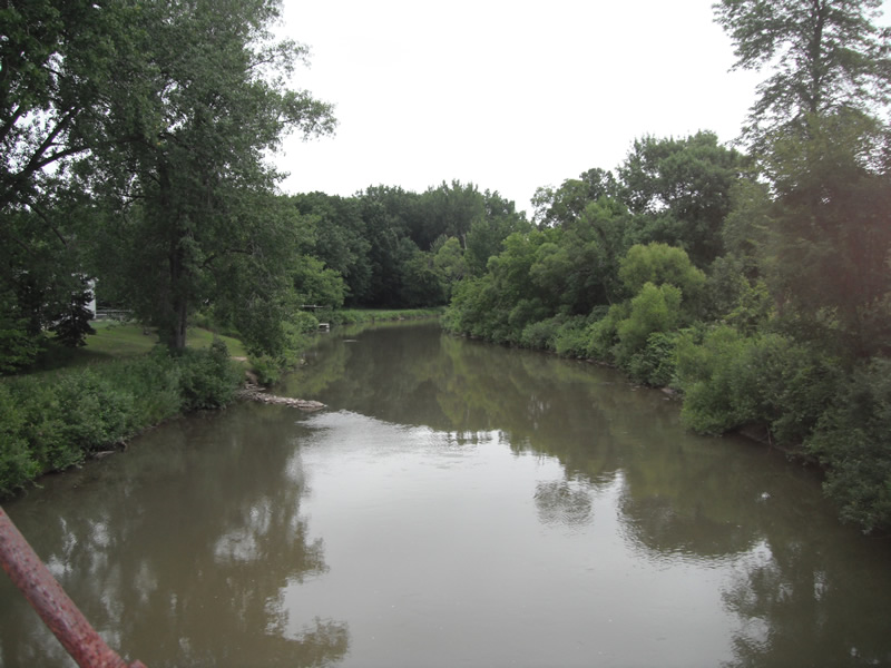
Upstream Conditions
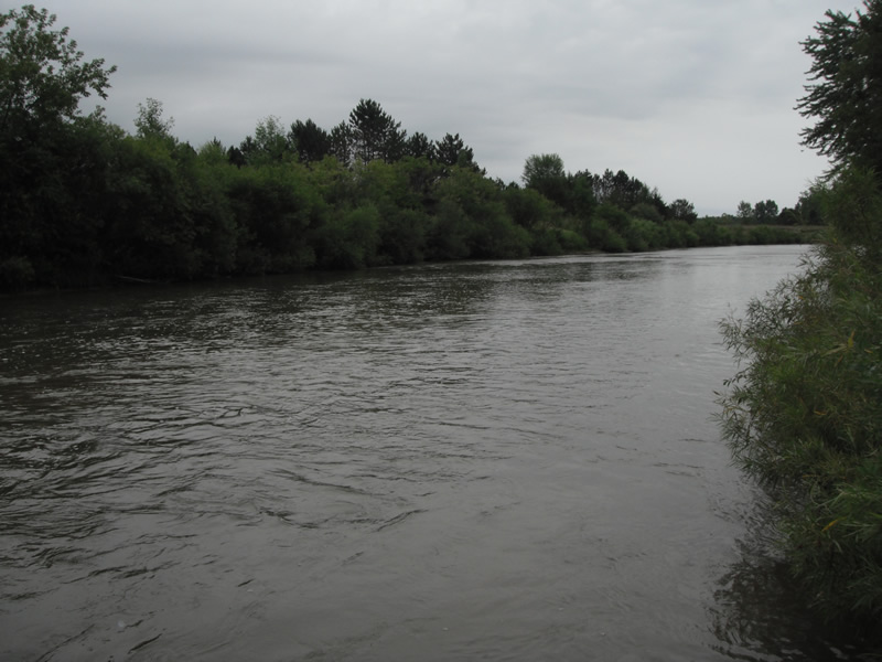
Downstream Conditions
Road Approach - Left
Road Approach - Right
Crossing Information
Type of Crossing: Bridge
Number of Structures: 1
Structure Shape: Open Bottom Square/Rectangle
Inlet Type: Other
Outlet Type: Other
Structure Material: Metal
Structure Substrate: Rock
General Conditions: Poor
Structure Interior: smooth
Dimensions of Structure: Length 18 ft.
, Width 129 ft.
Structure Inlet
Water Depth: 2.5 ft.
Embedded Depth of Structure: 0 ft.
Water Velocity*: 1.5 ft./sec.
Structure Outlet
Water Depth: 2 ft.
Embedded Depth of Structure: 0 ft.
Water Velocity*: 2.5 ft./sec.
*Water Velocities were measured at the Surface
(with Float Test)
Stream Information
Stream Flow: Less than 1/2 Bankfull
Scour Pool: Length 0 ft.
, Width 0 ft.
, Depth 0 ft.
Upstream Pond: Length 0 ft.
, Width 0 ft.
, Depth 0 ft.
Riffle Information
Water Depth: 4 ft.
Bankfull Width: 93 ft.
Wetted Width: 90 ft.
Water Velocity: 1.5 ft./sec.
(Measured with Float Test)
Dominant Substrate: Sand
Road Information
Gravel
County Road
Road Condition: Poor
Road Width at Culvert: 18 ft.
Location of Low Point: Other
Runoff Path: Ditch
Embankments
Upstream
Fill Depth: 3 ft.
Slope: Vertical
Downstream
Fill Depth: 3 ft.
Slope: Vertical
Slope: Less Than 1%
Vegetation: Heavy
Slope: Less Than 1%
Vegetation: Heavy
Erosion Information
Extent of Erosion: Minor
Notes: erosion in an access site for rippling waters campground
Location of Erosion | Erosion Dimensions | Eroded Material | Material Eroded | Total Erosion | ||
facing downstream | Length | Width | Depth | Reaching Stream? | (tons/year) | |
Right Downstream |
18 ft. |
30 ft. |
0.1 ft. |
yes |
Sand |
0.002 |
Summary Information
Fish Passability 0.5
These non-native species were observerd at this site: Purple Loosestrife
�