Road Stream Crossing Site RIF_AR40
Rifle River Watershed, Unnamed Creek
Hansel Rd
Arenac Twp,
Arenac County
Information collected by:
Site Location
GPS Coordinates: 44.0078
, -83.82686
T19N
R5E
Sec 36
Year Inventoried: 2012
Inlet
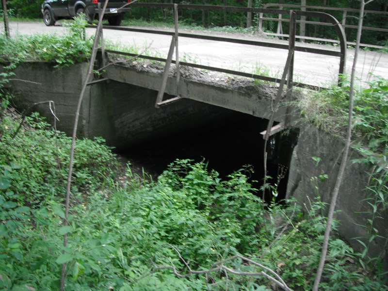
Outlet
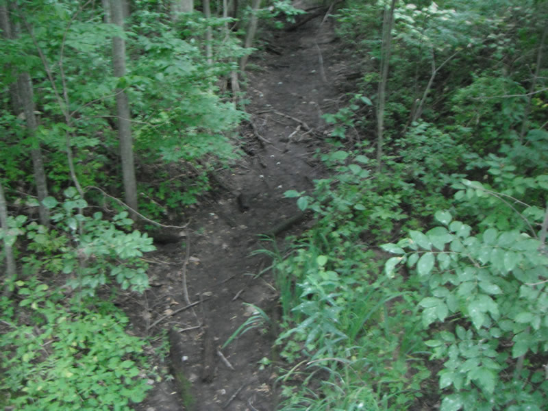
Upstream Conditions
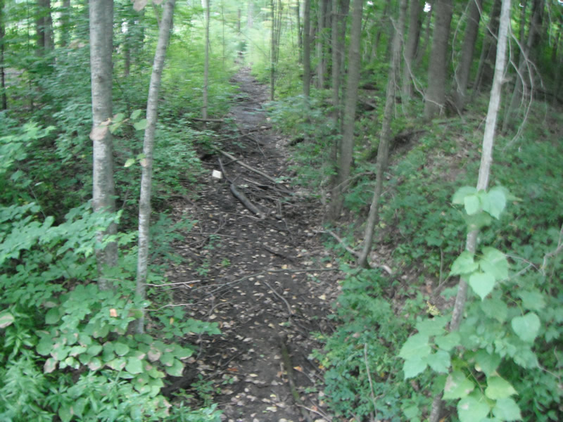
Downstream Conditions
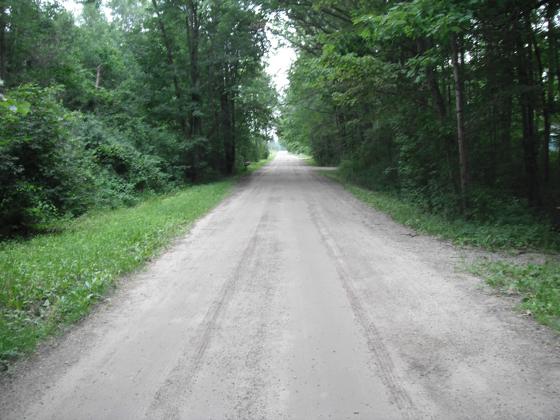
Road Approach - Left
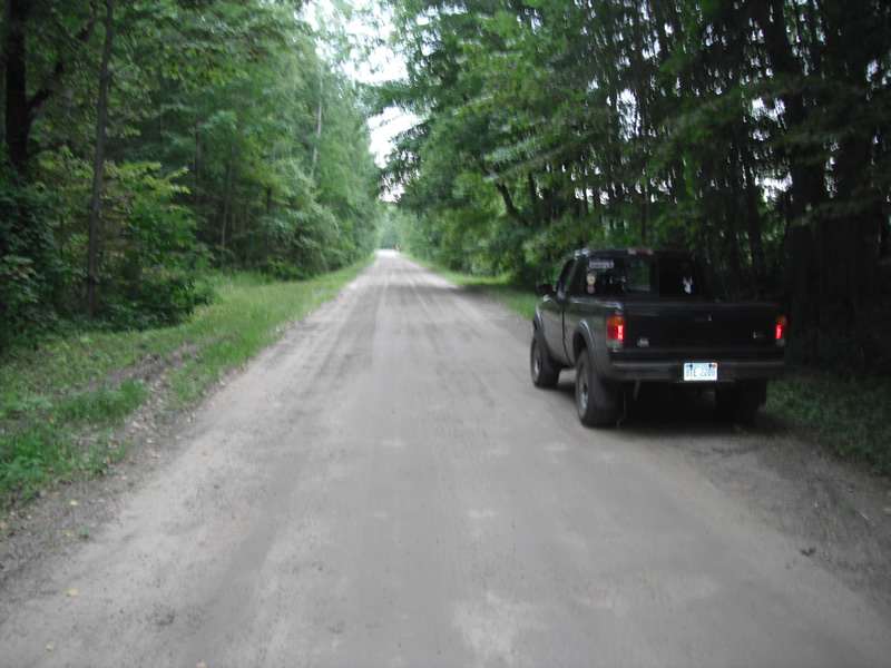
Road Approach - Right
Crossing Information
Type of Crossing: Bridge
Additional Comments
no flow
Stream Information
Stream Flow: None
Road Information
Gravel
County Road
Road Condition: Poor
Location of Low Point: At Stream
Runoff Path: Ditch
Length: 1000 ft.
Slope: Less Than 1%
Length: 1000 ft.
Slope: Less Than 1%
Erosion Information
Summary Information
�