Road Stream Crossing Site RIF_AR41
Rifle River Watershed, Rifle River
Stover Rd
Arenac Twp,
Arenac County
Information collected by:
Site Location
GPS Coordinates: 44.0043
, -83.82507
T19N
R5E
Sec 36
Fish Passability 0.9
Severity: Minor
Year Inventoried: 2012
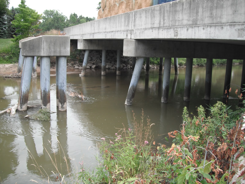
Inlet
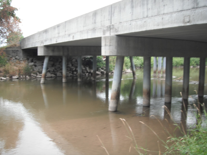
Outlet
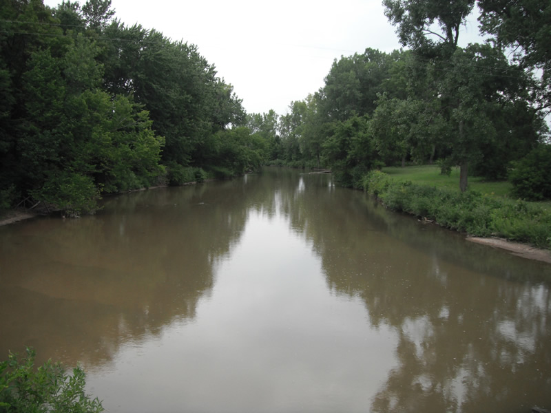
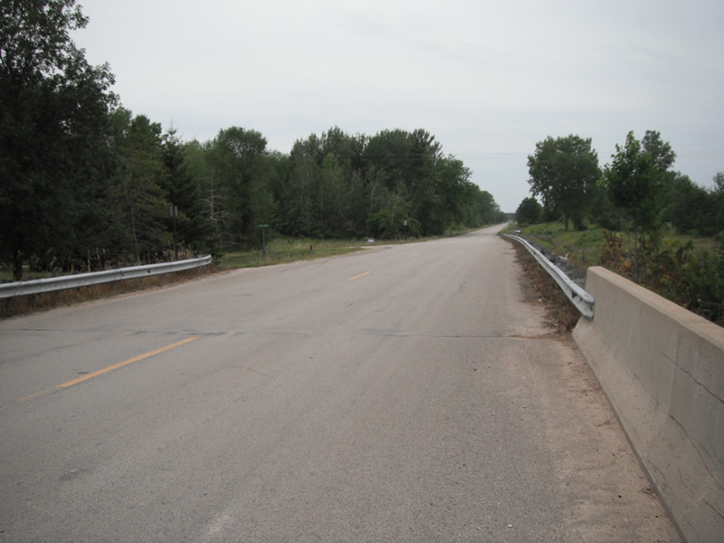
Upstream Conditions
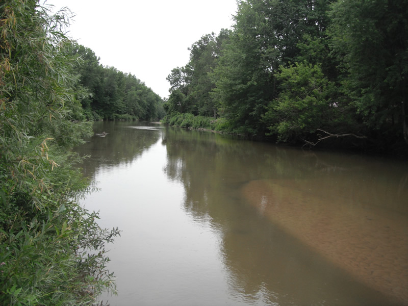
Downstream Conditions
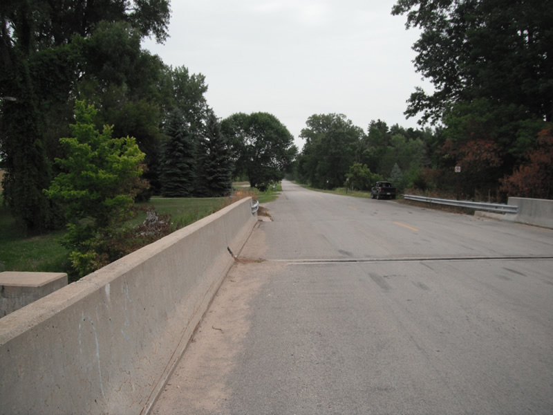
Road Approach - Left
Road Approach - Right
Crossing Information
Type of Crossing: Bridge
Structure Shape: Open Bottom Square/Rectangle
Inlet Type: Other
Outlet Type: Other
Structure Material: Metal
Structure Substrate: Sand
General Conditions: Fair
Structure Interior: corrugated
Dimensions of Structure: Length 35 ft.
, Width 121 ft.
, Height 12 ft.
Structure Inlet
Water Depth: 4 ft.
Water Velocity*: 1.5 ft./sec.
Structure Outlet
Water Depth: 4 ft.
Water Velocity*: 1.5 ft./sec.
*Water Velocities were measured at the Surface
(with Float Test)
Stream Information
Stream Flow: Less than 1/2 Bankfull
Scour Pool: Length 0 ft.
, Width 0 ft.
, Depth 0 ft.
Upstream Pond: Length 0 ft.
, Width 0 ft.
, Depth 0 ft.
Riffle Information
Water Depth: 3 ft.
Bankfull Width: 90 ft.
Wetted Width: 84 ft.
Water Velocity: 1.5 ft./sec.
(Measured with Float Test)
Dominant Substrate: Sand
Road Information
Paved
County Road
Road Condition: Fair
Road Width at Culvert: 34 ft.
Location of Low Point: Other
Runoff Path: Ditch
Embankments
Upstream
Fill Depth: 1.5 ft.
Slope: Vertical
Downstream
Fill Depth: 2 ft.
Slope: Vertical
Vegetation: Heavy
Vegetation: Heavy
Erosion Information
Extent of Erosion: Stabilized
Erosion is occurring and corrective actions can be installed to address the problem.
Notes: riprap installled
Summary Information
Fish Passability 0.9
�