Road Stream Crossing Site RIF_AR100
Rifle River Watershed, Hettinger Creek
Wildwood
Clayton Twp,
Arenac County
Information collected by:
Site Location
GPS Coordinates: 44.13549
, -84.03785
T20N
R4E
Sec 18
Fish Passability 0
Perch Height: 0.1 ft.
Total Erosion: 1.244 tons/year
Severity: Severe
Year Inventoried: 2012
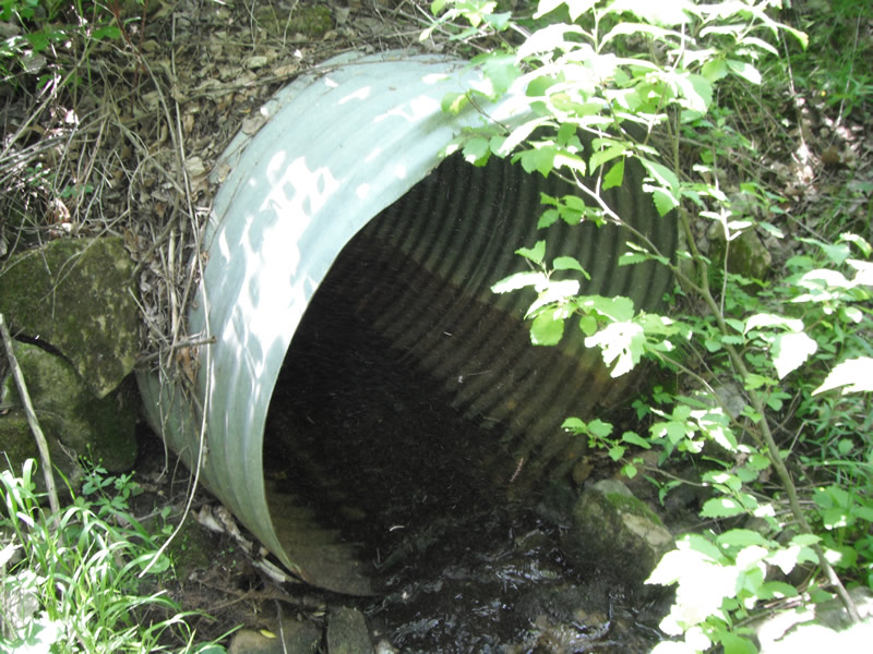
Inlet
Outlet
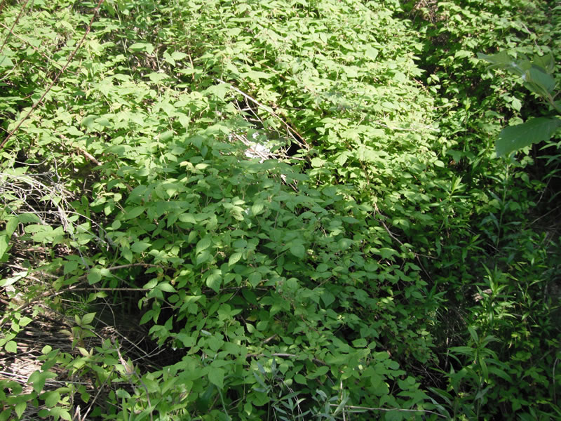
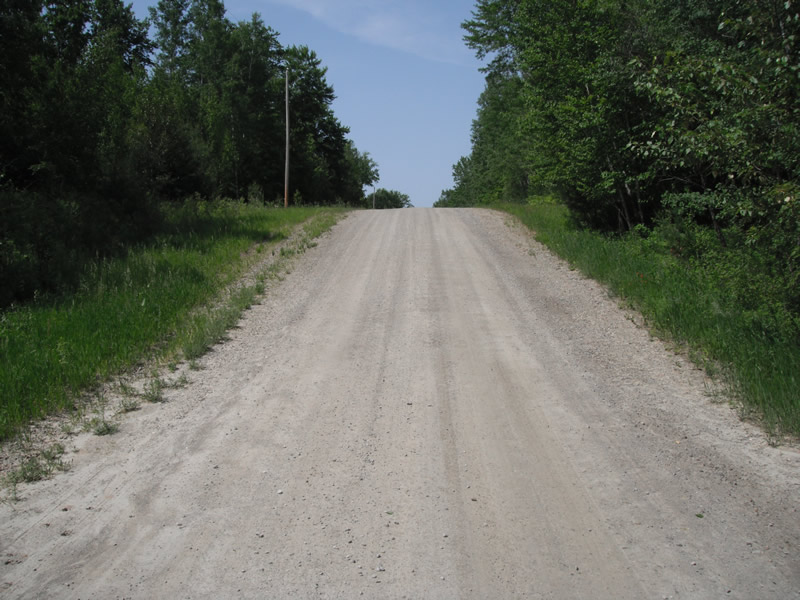
Upstream Conditions
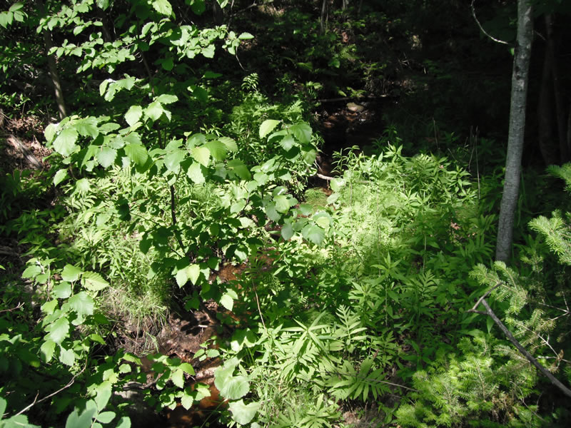
Downstream Conditions
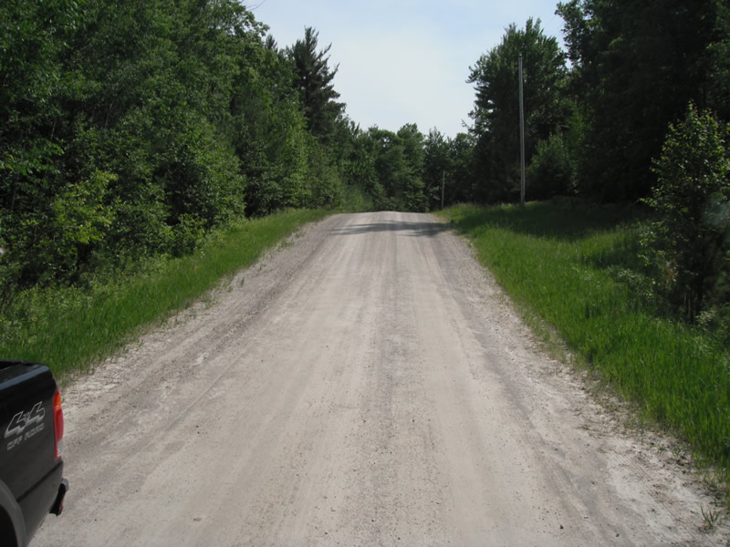
Road Approach - Left
Road Approach - Right
Crossing Information
Type of Crossing: culvert(s)
Number of Structures: 1
Structure Shape: Round
Inlet Type: Projecting
Outlet Type: Freefall onto Riprap
Structure Material: Metal
Structure Substrate: Sand
General Conditions: Good
Structure Interior: corrugated
Dimensions of Structure: Length 65 ft.
, Width 3.7 ft.
, Height 3.7 ft.
Perch Height: 0.1 ft.
Structure Inlet
Water Depth: 0.2 ft.
Embedded Depth of Structure: 0 ft.
Water Velocity*: 1.3 ft./sec.
Structure Outlet
Water Depth: 0.3 ft.
Embedded Depth of Structure: 0.1 ft.
Water Velocity*: 1.3 ft./sec.
*Water Velocities were measured at the Surface
(with Float Test)
Additional Comments
private drive
Stream Information
Stream Flow: Less than 1/2 Bankfull
Scour Pool: Length 5.8 ft.
, Width 3.3 ft.
, Depth 0.3 ft.
Upstream Pond: Length 4.5 ft.
, Width 5.5 ft.
, Depth 0 ft.
Riffle Information
Water Depth: 0.2 ft.
Bankfull Width: 2.6 ft.
Wetted Width: 2.3 ft.
Water Velocity: 1 ft./sec.
(Measured with Float Test)
Dominant Substrate: Sand
Road Information
Gravel
Private Road
Road Condition: Fair
Road Width at Culvert: 14 ft.
Location of Low Point: At Stream
Runoff Path: Ditch
Embankments
Upstream
Fill Depth: 6 ft.
Slope: 1:1.5
Downstream
Fill Depth: 6 ft.
Slope: 1:1.5
Approaches
Left Approach
Length: 143 ft.
Slope: 6% to 10%
Vegetation: Heavy
LS Factor: 1.102
Erosion: 0.6077 tons/year
Right Approach
Length: 148 ft.
Slope: 6% to 10%
Vegetation: Heavy
LS Factor: 1.115
Erosion: 0.6363 tons/year
Erosion Information
Total Erosion at Crossing: 1.244 tons/year
Extent of Erosion: Stabilized
Erosion is occurring and corrective actions can be installed to address the problem.
Notes: riprap around culverts
Summary Information
Fish Passability 0
Fish Passage is an area of concern for this site.
perched culverts
A future visit to this site is recommended. perched culverts
�