Road Stream Crossing Site RIF_AR116
Rifle River Watershed, Tributary of Rifle River
Townline Rd
Deep River Twp,
Arenac County
Information collected by:
Site Location
GPS Coordinates: 44.08398
, -83.9589
T19n
R4E
Sec 2
Fish Passability 0
Perch Height: 1.1 ft.
Total Erosion: 4.3149 tons/year
Severity: Severe
Year Inventoried: 2012
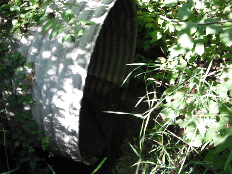
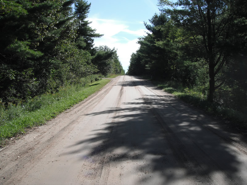
Inlet
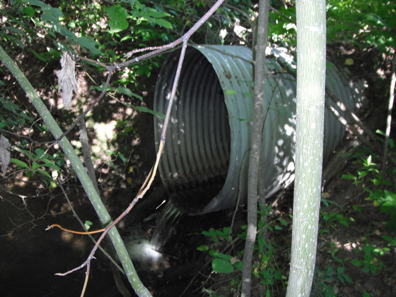
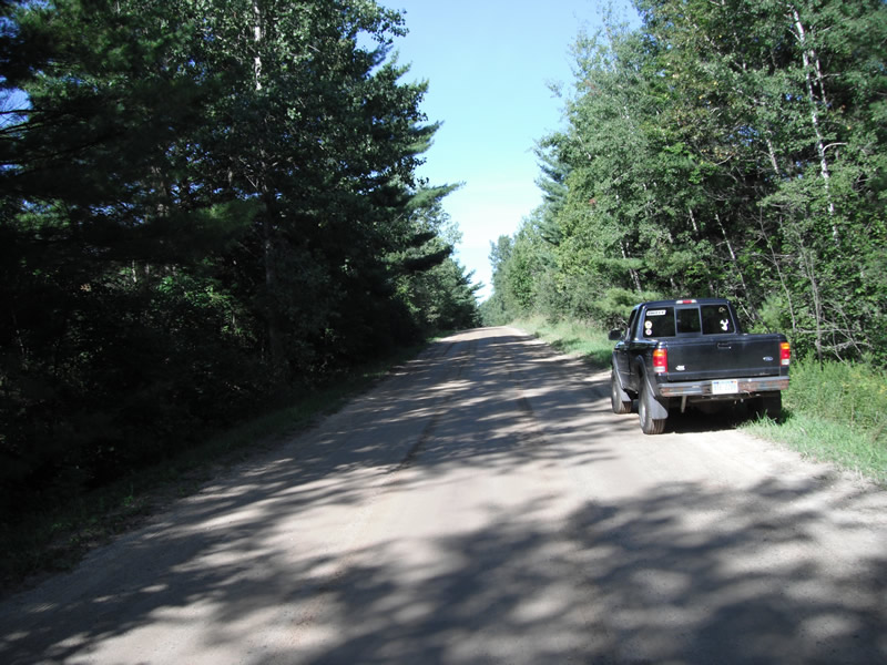
Outlet
Upstream Conditions
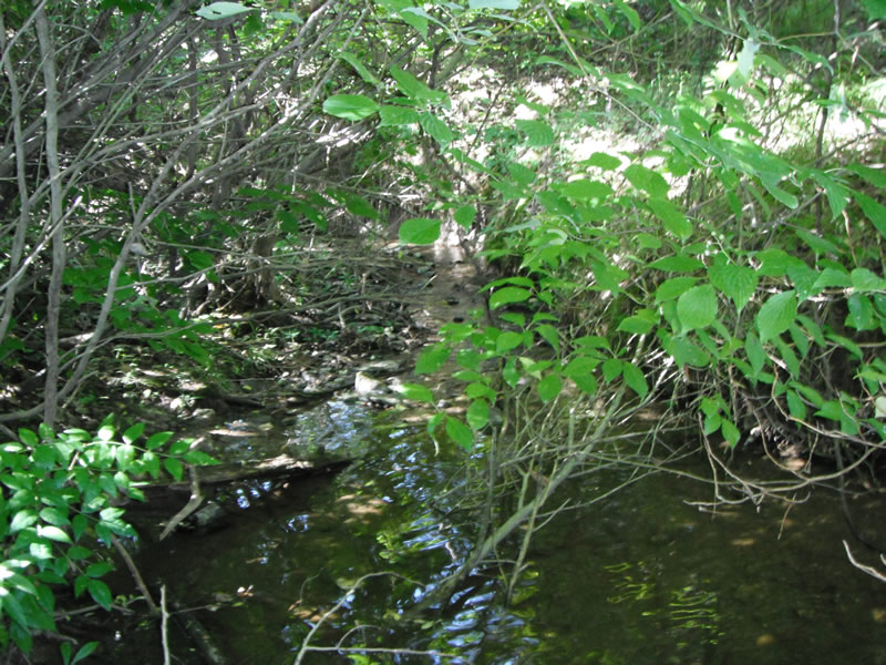
Downstream Conditions
Road Approach - Left
Road Approach - Right
Crossing Information
Type of Crossing: culvert(s)
Number of Structures: 1
Structure Shape: Round
Inlet Type: Projecting
Outlet Type: Freefall into Pool
Structure Material: Metal
Structure Substrate: None
General Conditions: Fair
Structure Interior: corrugated
Dimensions of Structure: Length 53 ft.
, Width 4 ft.
, Height 4 ft.
Perch Height: 1.1 ft.
Structure Inlet
Water Depth: 0.3 ft.
Embedded Depth of Structure: 0 ft.
Water Velocity*: 0.2 ft./sec.
Structure Outlet
Water Depth: 0.1 ft.
Embedded Depth of Structure: 0 ft.
Water Velocity*: 2 ft./sec.
*Water Velocities were measured at the Surface
(with Float Test)
Stream Information
Stream Flow: Less than 1/2 Bankfull
Scour Pool: Length 20 ft.
, Width 16.6 ft.
, Depth 2.1 ft.
Upstream Pond: Length 0 ft.
, Width 0 ft.
, Depth 0 ft.
Riffle Information
Water Depth: 0.2 ft.
Bankfull Width: 7.8 ft.
Wetted Width: 3.6 ft.
Water Velocity: 1 ft./sec.
(Measured with Float Test)
Dominant Substrate: Gravel
Road Information
Gravel
County Road
Road Condition: Poor
Road Width at Culvert: 19 ft.
Location of Low Point: At Stream
Runoff Path: Ditch
Embankments
Upstream
Fill Depth: 4.8 ft.
Slope: 1:2
Downstream
Fill Depth: 4 ft.
Slope: 1:2
Approaches
Left Approach
Length: 315 ft.
Slope: 1% to 5%
Vegetation: Heavy
LS Factor: 0.463
Erosion: 0.7634 tons/year
Right Approach
Length: 444 ft.
Slope: 1% to 5%
Vegetation: Heavy
LS Factor: 0.489
Erosion: 1.136 tons/year
Erosion Information
Total Erosion at Crossing: 4.3149 tons/year
Extent of Erosion: Severe
Notes: downstream on to of pipe
Location of Erosion | Erosion Dimensions | Eroded Material | Material Eroded | Total Erosion | ||
facing downstream | Length | Width | Depth | Reaching Stream? | (tons/year) | |
Right Upstream |
9.5 ft. |
2.4 ft. |
0.8 ft. |
yes |
Sand |
0.1672 |
Left Downstream |
6.2 ft. |
2.1 ft. |
1 ft. |
yes |
Sand |
0.1364 |
Right Downstream |
40 ft. |
5.3 ft. |
2.4 ft. |
yes |
Sand |
2.112 |
Summary Information
Fish Passability 0
Fish Passage is an area of concern for this site.
both fish passage and erosion on downstream side
A future visit to this site is recommended. fish passage and erosion
These non-native species were observerd at this site: Purple Loosestrife Is Down The Road A Little Bit
�