Road Stream Crossing Site TW057
Tawas River Watershed, Tawas River
Whittmore Street
Tawas City,
Iosco County
Information collected by:
Site Location
GPS Coordinates: 44.267785
, -83.519089
T22N
R08E
Sec 30
Owned by Private
Fish Passability 0.5
Structure is NOT Perched
Total Erosion: 0.876 tons/year
22.35 Upstream Miles
Severity: Moderate
Year Inventoried: 2012
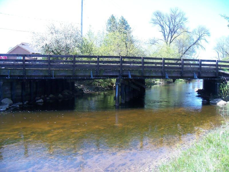
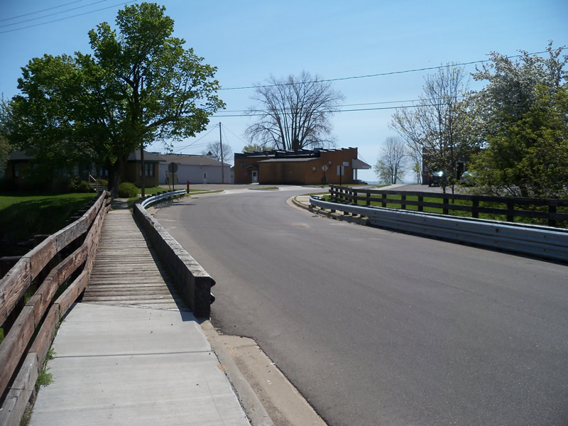
Inlet
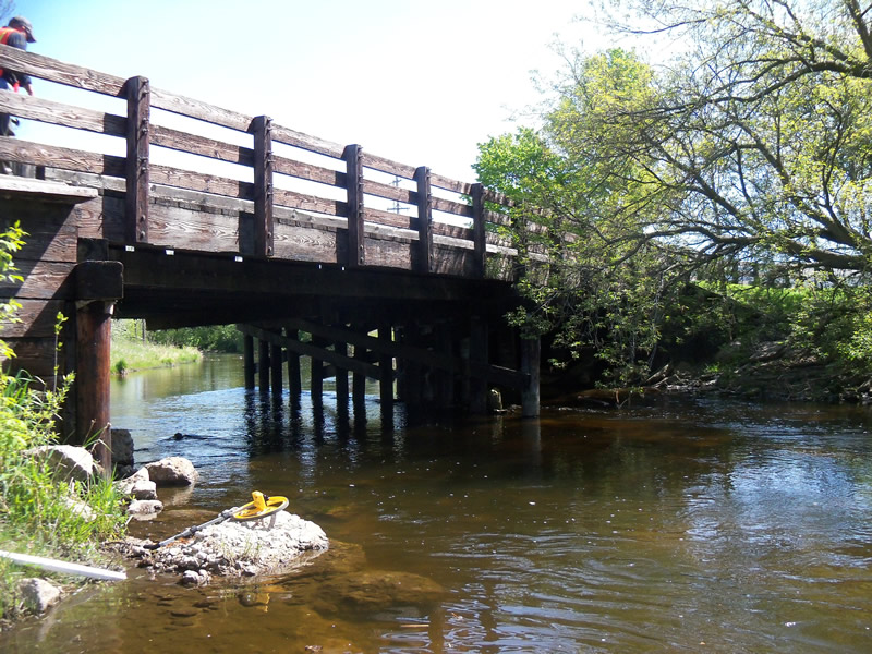
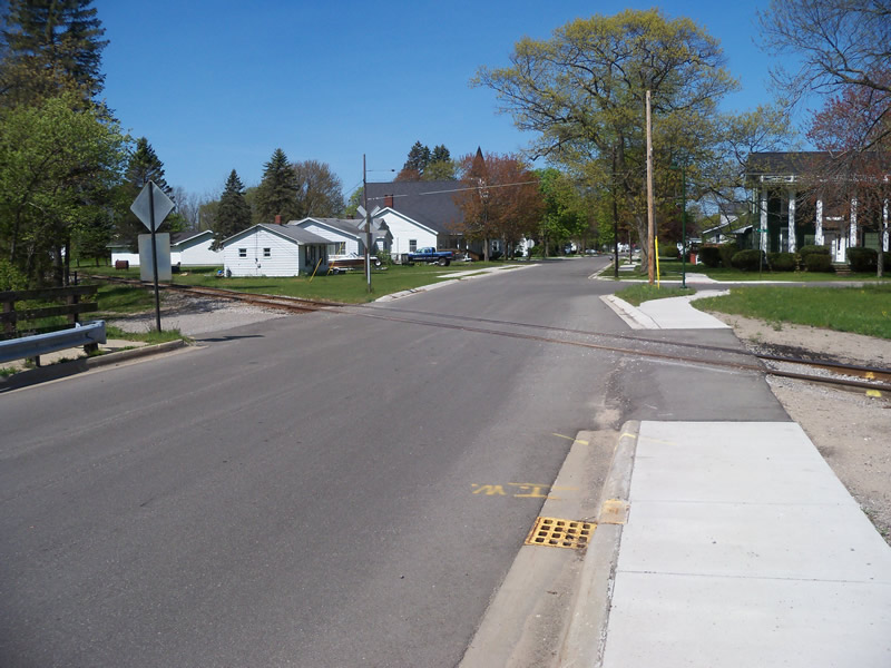
Outlet
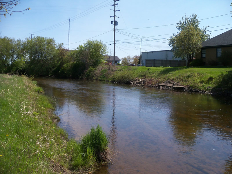
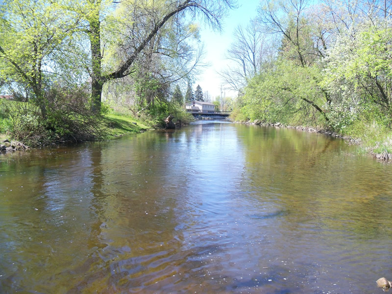
Upstream Conditions
Downstream Conditions
Road Approach - Left
Road Approach - Right
Crossing Information
Type of Crossing: Bridge
Structure Shape: Open Bottom Square/Rectangle
Inlet Type: Other
Outlet Type: Other
Structure Material: Wood
Structure Substrate: Sand
General Conditions: Fair
Multiple Culverts/Spans | ||||
Culvert/Span | Width | Length | Height | Material |
1 |
30.5 ft. |
36.5 ft. |
9.7 ft. |
Wood |
2 |
30.5 ft. |
36.5 ft. |
9.7 ft. |
Wood |
Structure Interior: smooth
Dimensions of Structure: Length 36.5 ft.
, Width 30.5 ft.
, Height 9.7 ft.
Structure is NOT Perched
Structure Inlet
Water Depth: 2.1 ft.
Embedded Depth of Structure: 0 ft.
Water Velocity*: 2 ft./sec.
Structure Outlet
Water Depth: 33.3 ft.
Embedded Depth of Structure: 0 ft.
Water Velocity*: 2.3 ft./sec.
*Water Velocities were measured 1 ft. below Surface
(with Meter)
Stream Information
Stream Flow: Less than Bankfull
Scour Pool: Length 0 ft.
, Width 0 ft.
, Depth 0 ft.
Upstream Pond: Length 0 ft.
, Width 0 ft.
, Depth 0 ft.
Riffle Information
Water Depth: 2 ft.
Bankfull Width: 50 ft.
Wetted Width: 40 ft.
Water Velocity: 2.6 ft./sec.
(Measured with Meter)
Dominant Substrate: Sand
Road Information
Gravel
Town Road
Road Condition: Good
Road Width at Culvert: 26.5 ft.
Location of Low Point: At Stream
Runoff Path: Ditch
Embankments
Upstream
Fill Depth: 2.2 ft.
Slope: Vertical
Downstream
Fill Depth: 2.2 ft.
Slope: Vertical
Approaches
Left Approach
Length: 1000 ft.
Slope: Less Than 1%
Vegetation: Partial
LS Factor: 0.06
Erosion: 0.438 tons/year
Right Approach
Length: 1000 ft.
Slope: Less Than 1%
Vegetation: Partial
LS Factor: 0.06
Erosion: 0.438 tons/year
Erosion Information
Total Erosion at Crossing: 0.876 tons/year
Summary Information
Fish Passability 0.5
22.35 Upstream Miles
�