Road Stream Crossing Site TW039
Tawas River Watershed, Tributary to Cold Creek
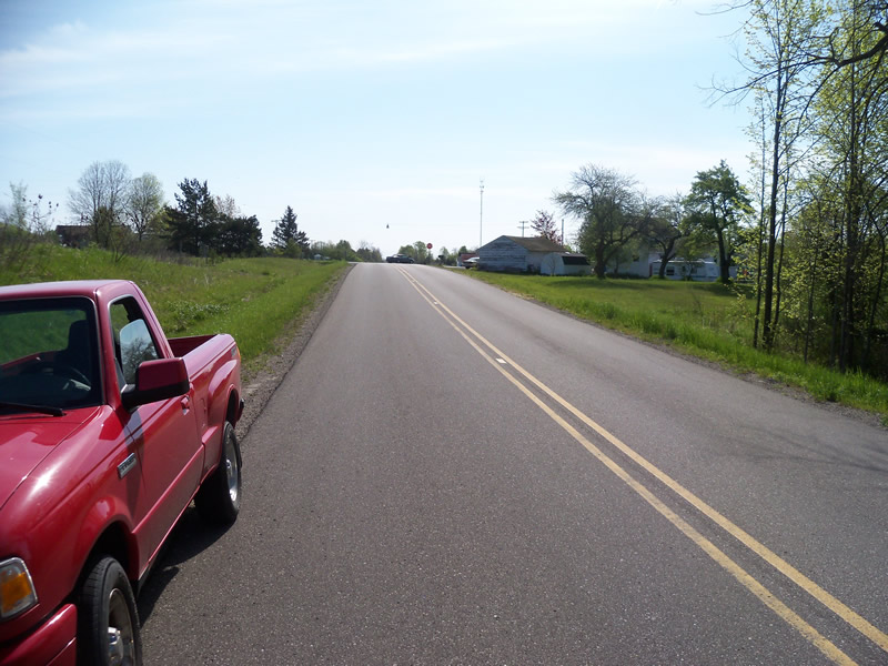
Miller Rd
Tawas Twp,
Iosco County
Information collected by:
Site Location
GPS Coordinates: 44.29427
, -83.56416
T22N
R07E
Sec 15,22
Owned by Private
Fish Passability 0.5
Structure is NOT Perched
Total Erosion: 0.4271 tons/year
0.53 Upstream Miles
Severity: Moderate
Year Inventoried: 2012

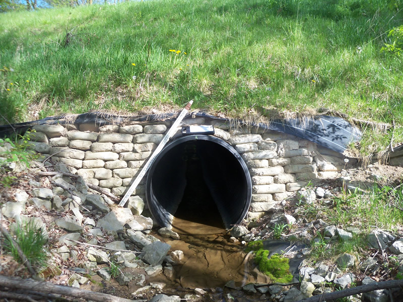
Inlet
Outlet
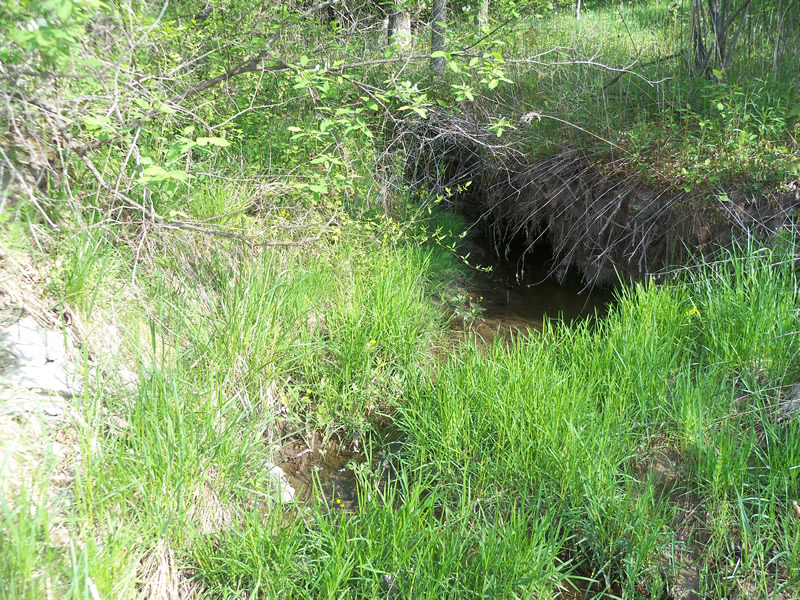
Upstream Conditions
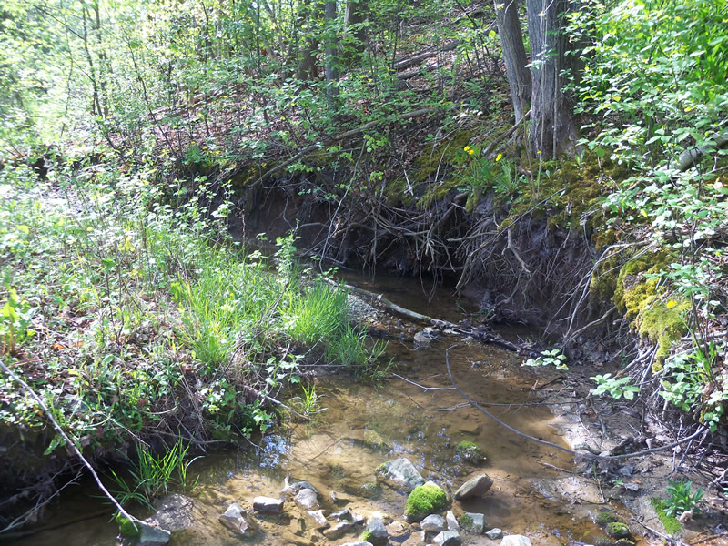
Downstream Conditions
Road Approach - Left
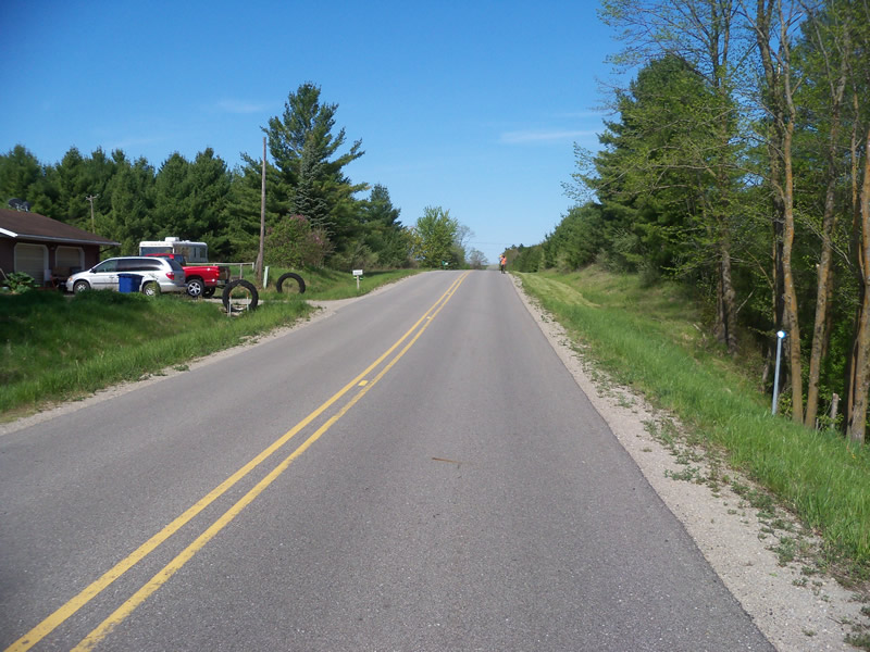
Road Approach - Right
Crossing Information
Type of Crossing: culvert(s)
Number of Structures: 1
Structure Shape: Round
Inlet Type: Headwall
Outlet Type: At Stream Grade
Structure Material: Plastic
Structure Substrate: None
General Conditions: Fair
Structure Interior: smooth
Dimensions of Structure: Length 100 ft.
, Width 4.5 ft.
, Height 4.5 ft.
Percentage Crushed:
Inlet: 0%
Outlet: 0%
In Pipe: 1% to 25%
Structure is NOT Perched
Structure Inlet
Water Depth: 0.2 ft.
Embedded Depth of Structure: 0 ft.
Water Velocity*: 0.9 ft./sec.
Structure Outlet
Water Depth: 0.5 ft.
Embedded Depth of Structure: 0 ft.
Water Velocity*: 0.1 ft./sec.
*Water Velocities were measured at the Surface
(with Meter)
Stream Information
Stream Flow: Less than Bankfull
Scour Pool: Length 0 ft.
, Width 0 ft.
, Depth 0 ft.
Upstream Pond: Length 0 ft.
, Width 0 ft.
, Depth 0 ft.
Riffle Information
Water Depth: 0.1 ft.
Bankfull Width: 9 ft.
Wetted Width: 5 ft.
Water Velocity: 0.1 ft./sec.
(Measured with Meter)
Dominant Substrate: Sand
Road Information
Paved
County Road
Road Condition: Good
Road Width at Culvert: 22 ft.
Location of Low Point: At Stream
Runoff Path: Ditch
Embankments
Upstream
Fill Depth: 10 ft.
Slope: More than 1:2
Downstream
Fill Depth: 10 ft.
Slope: More than 1:2
Approaches
Left Approach
Length: 400 ft.
Slope: 1% to 5%
Vegetation: Heavy
LS Factor: 0.48
Erosion: 0.1396 tons/year
Right Approach
Length: 400 ft.
Slope: 1% to 5%
Vegetation: Heavy
LS Factor: 0.48
Erosion: 0.1396 tons/year
Erosion Information
Total Erosion at Crossing: 0.4271 tons/year
Extent of Erosion: Moderate
Notes: Left downstream embankment erosion is from and erosion barrier that has fallen over. Right downstream embankment erosion material is being eroded out from behind the headwall.
Location of Erosion | Erosion Dimensions | Eroded Material | Material Eroded | Total Erosion | ||
facing downstream | Length | Width | Depth | Reaching Stream? | (tons/year) | |
Right Downstream Embankment |
6.2 ft. |
3.7 ft. |
3 ft. |
yes |
Sand |
0.1432 |
Left Downstream Embankment |
3 ft. |
2.3 ft. |
0.2 ft. |
yes |
Sand |
0.0046 |
Summary Information
Fish Passability 0.5
0.53 Upstream Miles
Erosion is an area of concern for this site.
Erosion sites found on downstream side of crossing, also bank erosion upstream and downstream of rsx. Possible misplacement of RSX.
A future visit to this site is recommended. Erosion issues
�