Road Stream Crossing Site TW029
Tawas River Watershed, Tributary to Proper Creek
South Kobs Rd
Tawas Twp,
Iosco County
Information collected by:
Site Location
GPS Coordinates: 44.2514
, -83.56252
T22N
R07E
Sec 34,35
Owned by Private
Fish Passability 0.9
Structure is NOT Perched
Total Erosion: 0.5107 tons/year
Severity: Moderate
Year Inventoried: 2012
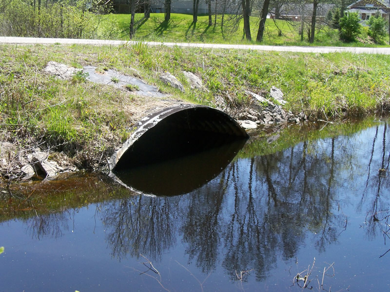
Inlet
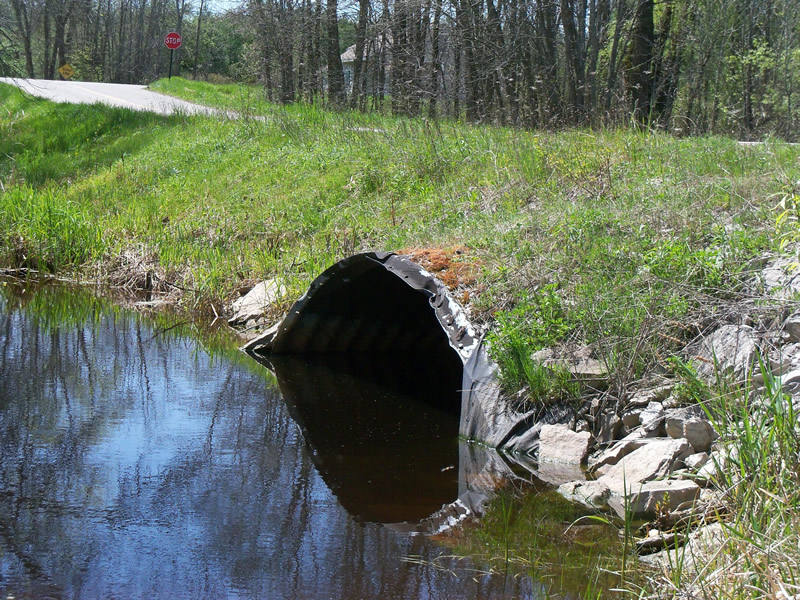
Outlet
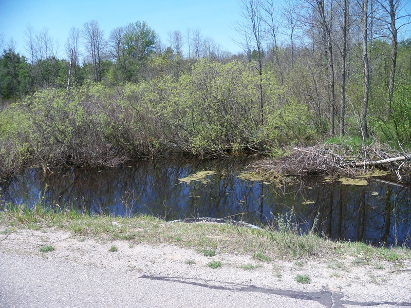
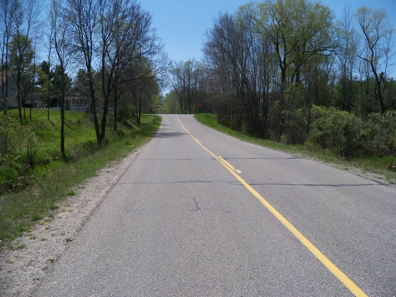
Upstream Conditions
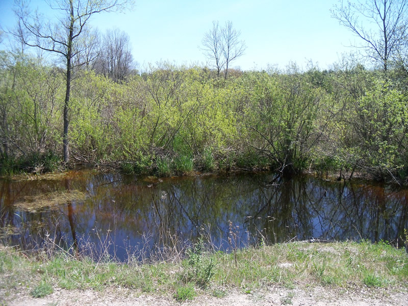
Downstream Conditions
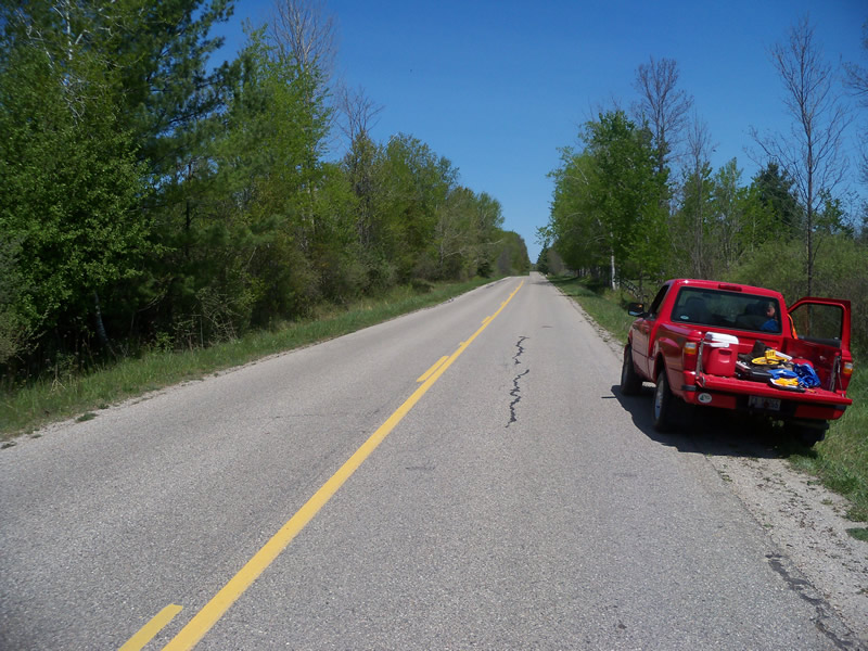
Road Approach - Left
Road Approach - Right
Crossing Information
Type of Crossing: culvert(s)
Number of Structures: 1
Structure Shape: Ellipse
Inlet Type: Projecting
Outlet Type: At Stream Grade
Structure Material: Metal
Structure Substrate: Rock
General Conditions: Poor
Structure Interior: corrugated
Dimensions of Structure: Length 50 ft.
, Width 12 ft.
, Height 6 ft.
Structure is NOT Perched
Structure Inlet
Water Depth: 4.6 ft.
Embedded Depth of Structure: 0 ft.
Water Velocity*: 0 ft./sec.
Structure Outlet
Water Depth: 3.5 ft.
Embedded Depth of Structure: 0 ft.
Water Velocity*: 0 ft./sec.
*Water Velocities were measured 2 ft. below Surface
(with Meter)
Stream Information
Stream Flow: Less than Bankfull
Scour Pool: Length 66 ft.
, Width 35 ft.
, Depth 4.6 ft.
Upstream Pond: Length 70 ft.
, Width 60 ft.
, Depth 3.5 ft.
Riffle Information
Water Depth: 0.3 ft.
Bankfull Width: 4 ft.
Wetted Width: 3 ft.
Water Velocity: 2 ft./sec.
(Measured with Meter)
Dominant Substrate: Sand
Road Information
Paved
County Road
Road Condition: Good
Road Width at Culvert: 22 ft.
Location of Low Point: At Stream
Runoff Path: Ditch
Embankments
Upstream
Fill Depth: 2.3 ft.
Slope: More than 1:2
Downstream
Fill Depth: 2.3 ft.
Slope: More than 1:2
Approaches
Left Approach
Length: 1000 ft.
Slope: 1% to 5%
Vegetation: Heavy
LS Factor: 0.57
Erosion: 0.4145 tons/year
Right Approach
Length: 290 ft.
Slope: 1% to 5%
Vegetation: Heavy
LS Factor: 0.456
Erosion: 0.0962 tons/year
Erosion Information
Total Erosion at Crossing: 0.5107 tons/year
Summary Information
Fish Passability 0.9
Fish Passage is an area of concern for this site.
Beaver activity is blocking the inlet of the crossing
A future visit to this site is recommended. fish passage issues
�