Road Stream Crossing Site TW103
Tawas River Watershed, Tributary to Foutain Creek
Wilbur Rd
Wilber Twp,
Iosco County
Information collected by:
Site Location
GPS Coordinates: 44.363216
, -83.523457
T23N
R08E
Sec 30
Owned by Private
Fish Passability 0.5
Structure is NOT Perched
Total Erosion: 6.124 tons/year
3.4 Upstream Miles
Severity: Severe
Year Inventoried: 2012
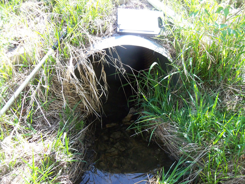
Inlet
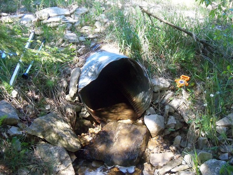
Outlet
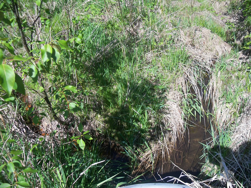
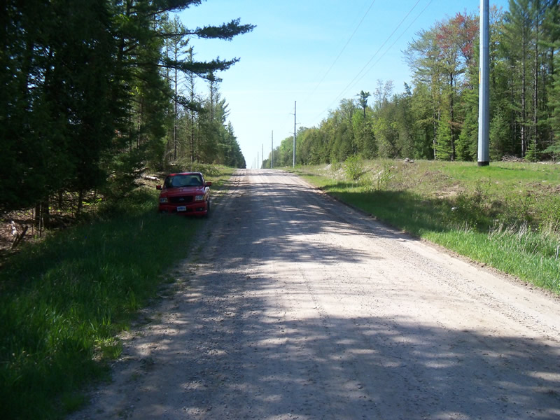
Upstream Conditions
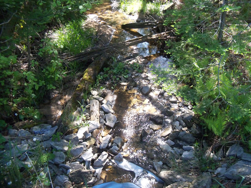
Downstream Conditions
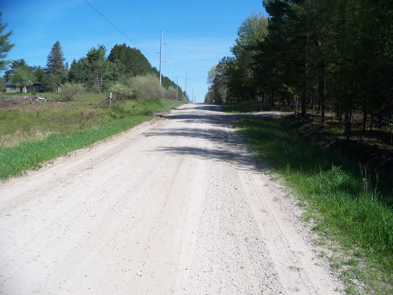
Road Approach - Left
Road Approach - Right
Crossing Information
Type of Crossing: culvert(s)
Number of Structures: 1
Structure Shape: Round
Inlet Type: Projecting
Outlet Type: Cascade over Riprap
Structure Material: Metal
Structure Substrate: None
General Conditions: Fair
Structure Interior: corrugated
Dimensions of Structure: Length 75 ft.
, Width 3 ft.
, Height 3 ft.
Structure is NOT Perched
Structure Inlet
Water Depth: 0.4 ft.
Embedded Depth of Structure: 0 ft.
Water Velocity*: 0.2 ft./sec.
Structure Outlet
Water Depth: 0.2 ft.
Embedded Depth of Structure: 0 ft.
Water Velocity*: 0.8 ft./sec.
*Water Velocities were measured at the Surface
(with Meter)
Additional Comments
Recent logging site downstream of crossing, lots of slash in river. Many juvinile fish below crossing.
Stream Information
Stream Flow: Less than Bankfull
Scour Pool: Length 0 ft.
, Width 0 ft.
, Depth 0 ft.
Upstream Pond: Length 0 ft.
, Width 0 ft.
, Depth 0 ft.
Riffle Information
Water Depth: 0.2 ft.
Bankfull Width: 10 ft.
Wetted Width: 6.4 ft.
Water Velocity: 0.2 ft./sec.
(Measured with Meter)
Dominant Substrate: Sand
Road Information
Gravel
County Road
Road Condition: Good
Road Width at Culvert: 19.5 ft.
Location of Low Point: At Stream
Runoff Path: Ditch
Embankments
Upstream
Fill Depth: 5.5 ft.
Slope: More than 1:2
Downstream
Fill Depth: 6 ft.
Slope: More than 1:2
Approaches
Left Approach
Length: 1000 ft.
Slope: 1% to 5%
Vegetation: Heavy
LS Factor: 0.57
Erosion: 3.062 tons/year
Right Approach
Length: 1000 ft.
Slope: 1% to 5%
Vegetation: Heavy
LS Factor: 0.57
Erosion: 3.062 tons/year
Erosion Information
Total Erosion at Crossing: 6.124 tons/year
Summary Information
Fish Passability 0.5
3.4 Upstream Miles
Fish Passage is an area of concern for this site.
Bad condition of culvert, perched at outlet
A future visit to this site is recommended. Condition of culvert and perched outlet
�