Road Stream Crossing Site TW102
Tawas River Watershed, Foutain Creek
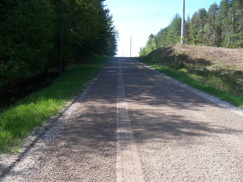
Wilbur Rd
Wilber Twp,
Iosco County
Information collected by:
Site Location
GPS Coordinates: 44.35591
, -83.52359
T23N
R08E
Sec 30
Owned by Private
Fish Passability 0
Perch Height: 0.7 ft.
Total Erosion: 4.502 tons/year
4 Upstream Miles
Severity: Severe
Year Inventoried: 2012

Inlet
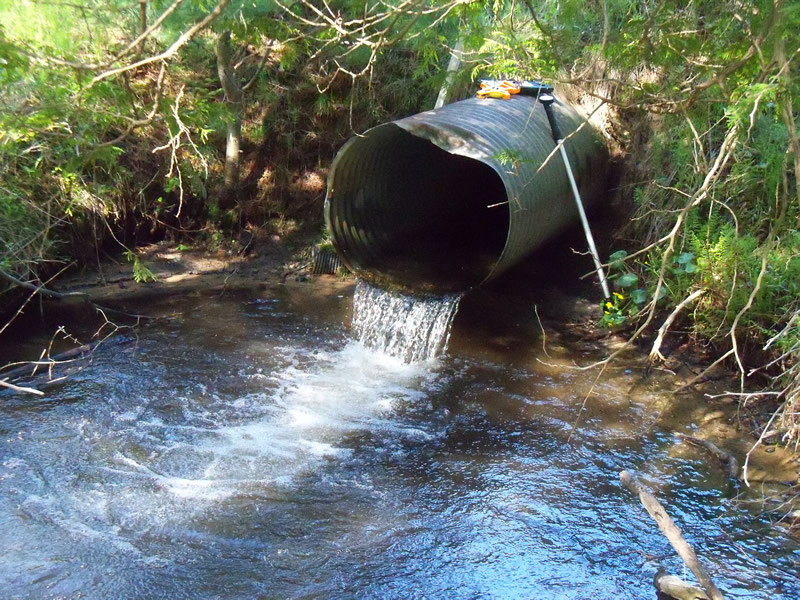
Outlet
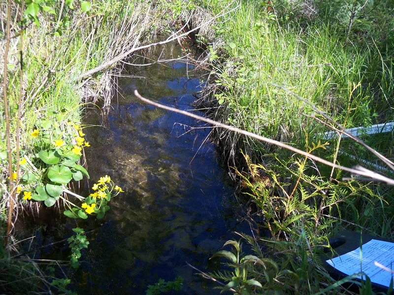
Upstream Conditions
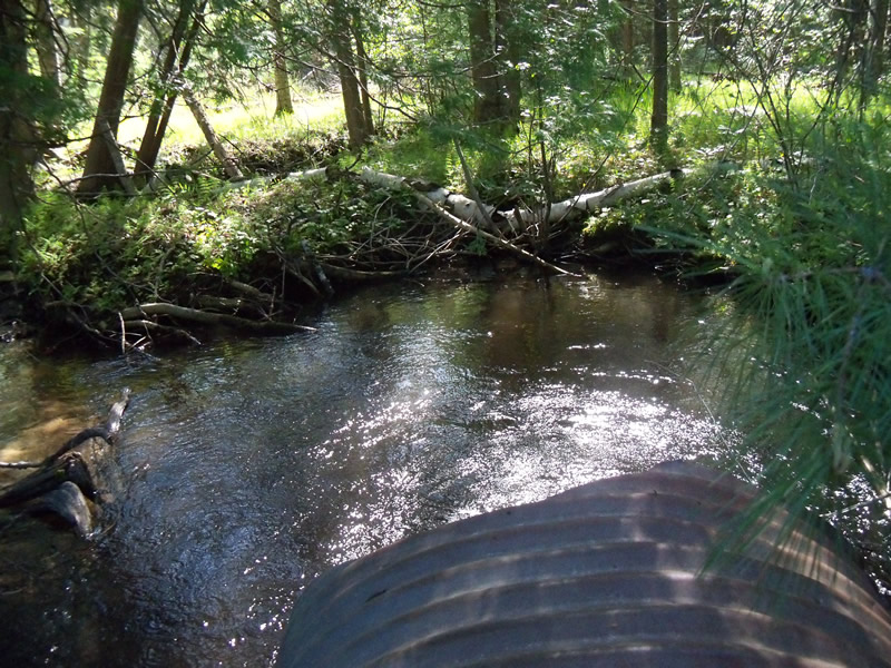
Downstream Conditions
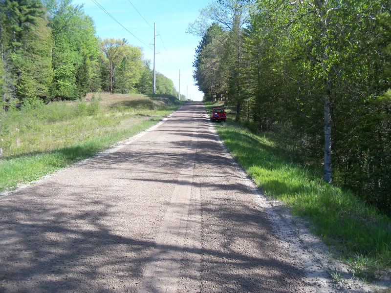
Road Approach - Left
Road Approach - Right
Crossing Information
Type of Crossing: culvert(s)
Number of Structures: 1
Structure Shape: Ellipse
Inlet Type: Projecting
Outlet Type: Freefall into Pool
Structure Material: Metal
Structure Substrate: Sand
General Conditions: Fair
Structure Interior: corrugated
Dimensions of Structure: Length 57 ft.
, Width 4 ft.
, Height 2.8 ft.
Perch Height: 0.7 ft.
Structure Inlet
Water Depth: 1.3 ft.
Embedded Depth of Structure: 0 ft.
Water Velocity*: 0.1 ft./sec.
Structure Outlet
Water Depth: 1.7 ft.
Embedded Depth of Structure: 0 ft.
Water Velocity*: 3.3 ft./sec.
*Water Velocities were measured at the Surface
(with Meter)
Stream Information
Stream Flow: Less than Bankfull
Scour Pool: Length 22 ft.
, Width 13 ft.
, Depth 3.5 ft.
Upstream Pond: Length 0 ft.
, Width 0 ft.
, Depth 0 ft.
Riffle Information
Water Depth: 0.8 ft.
Bankfull Width: 14.3 ft.
Wetted Width: 7.8 ft.
Water Velocity: 0.9 ft./sec.
(Measured with Meter)
Dominant Substrate: Sand
Road Information
Gravel
County Road
Road Condition: Good
Road Width at Culvert: 21 ft.
Location of Low Point: At Stream
Runoff Path: Ditch
Embankments
Upstream
Fill Depth: 7 ft.
Slope: 1:2
Downstream
Fill Depth: 6 ft.
Slope: 1:2
Approaches
Left Approach
Length: 1000 ft.
Slope: 1% to 5%
Vegetation: Heavy
LS Factor: 0.57
Erosion: 3.2975 tons/year
Right Approach
Length: 378 ft.
Slope: 1% to 5%
Vegetation: Heavy
LS Factor: 0.476
Erosion: 1.04 tons/year
Erosion Information
Total Erosion at Crossing: 4.502 tons/year
Extent of Erosion: Moderate
Location of Erosion | Erosion Dimensions | Eroded Material | Material Eroded | Total Erosion | ||
facing downstream | Length | Width | Depth | Reaching Stream? | (tons/year) | |
Right Downstream Streambank |
3.7 ft. |
1.5 ft. |
3.5 ft. |
yes |
Sand |
0.0997 |
Left Downstream Streambank |
4.2 ft. |
3.2 ft. |
2 ft. |
yes |
Sand |
0.0647 |
Summary Information
Fish Passability 0
4 Upstream Miles
Fish Passage is an area of concern for this site.
Perched outlet
A future visit to this site is recommended. Fish passage issue
�