Road Stream Crossing Site TW017
Tawas River Watershed, Tributary to Proper Creek
S Rempert Rd
Tawas Twp,
Iosco County
Information collected by:
Site Location
GPS Coordinates: 44.262264
, -83.582843
T21N
R07E
Sec 3, 4
Owned by Private
Fish Passability 0.9
Structure is NOT Perched
Total Erosion: 0.4848 tons/year
Severity: Moderate
Year Inventoried: 2012
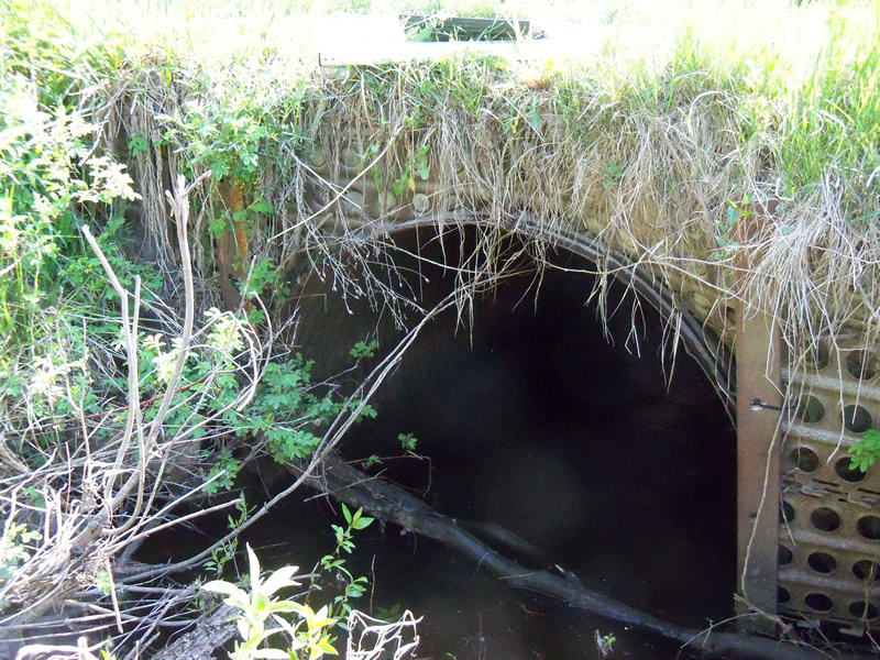
Inlet
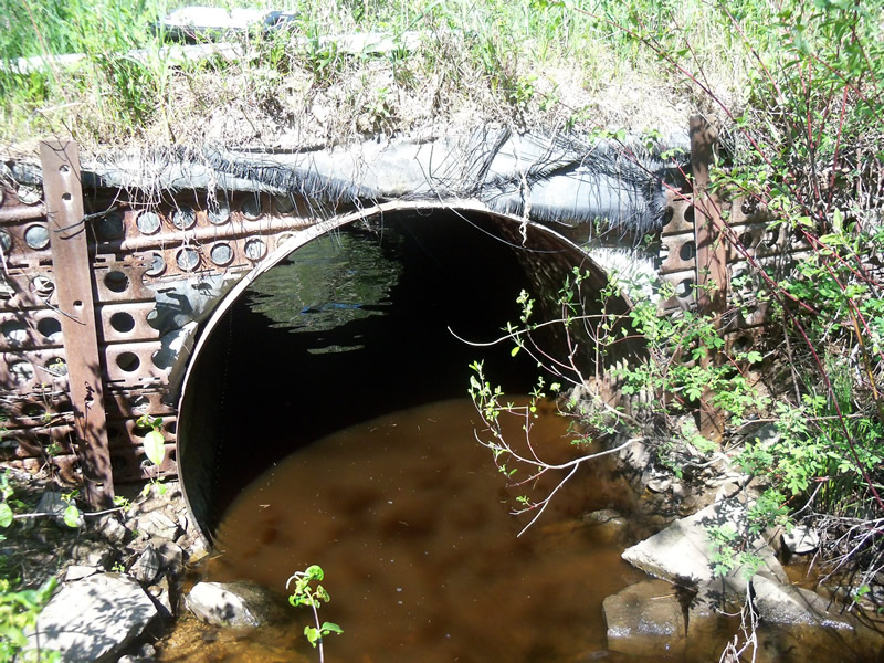
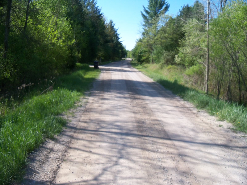
Outlet
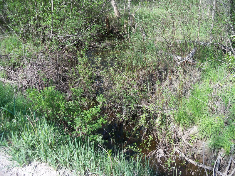
Upstream Conditions
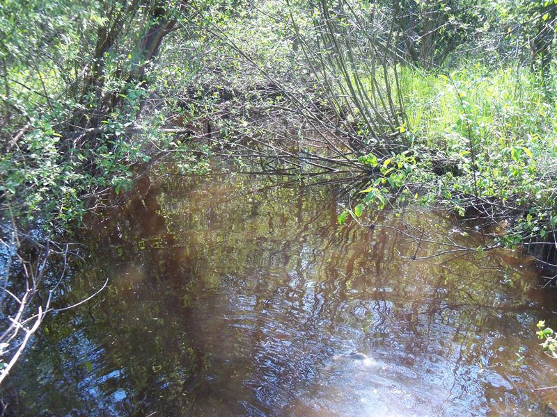
Downstream Conditions
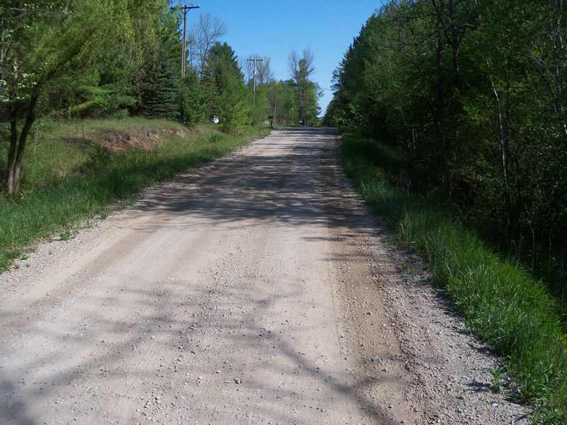
Road Approach - Left
Road Approach - Right
Crossing Information
Type of Crossing: culvert(s)
Number of Structures: 1
Structure Shape: Round
Inlet Type: Headwall
Outlet Type: At Stream Grade
Structure Material: Metal
Structure Substrate: Rock
General Conditions: Poor
Structure Interior: corrugated
Dimensions of Structure: Length 19 ft.
, Width 4.5 ft.
, Height 4.5 ft.
Structure is NOT Perched
Structure Inlet
Water Depth: 1.3 ft.
Embedded Depth of Structure: 0 ft.
Water Velocity*: 0.2 ft./sec.
Structure Outlet
Water Depth: 1.2 ft.
Embedded Depth of Structure: 0 ft.
Water Velocity*: 0 ft./sec.
*Water Velocities were measured at the Surface
(with Meter)
Stream Information
Stream Flow: Less than Bankfull
Scour Pool: Length 0 ft.
, Width 0 ft.
, Depth 0 ft.
Upstream Pond: Length 0 ft.
, Width 0 ft.
, Depth 0 ft.
Riffle Information
Water Depth: 0.5 ft.
Bankfull Width: 40 ft.
Wetted Width: 9 ft.
Water Velocity: 0.1 ft./sec.
(Measured with Meter)
Dominant Substrate: Sand
Road Information
Gravel
County Road
Road Condition: Good
Road Width at Culvert: 16 ft.
Location of Low Point: At Stream
Runoff Path: Roadway
Embankments
Upstream
Fill Depth: 1.5 ft.
Slope: Vertical
Downstream
Fill Depth: 1.6 ft.
Slope: Vertical
Approaches
Left Approach
Length: 250 ft.
Slope: 1% to 5%
Vegetation: Heavy
LS Factor: 0.44
Erosion: 0.4848 tons/year
Right Approach
Length: 0 ft.
Slope: Less Than 1%
Vegetation: Heavy
LS Factor: 0.05
Erosion: 0 tons/year
Erosion Information
Total Erosion at Crossing: 0.4848 tons/year
Extent of Erosion: Moderate
Notes: Headwalls are in bad shape, rusted and being pushed out . Vertical embankment and narrow crossing allows sediment from road into stream channel
Summary Information
Fish Passability 0.9
Erosion is an area of concern for this site.
See erosion notes
A future visit to this site is recommended. Erosion issues
These non-native species were observerd at this site: Primrose
�