
Road Stream Crossing Site AUS_OS181
Au Sable River Watershed, Tributary of Cherry Creek
Mount Tom Rd
Comins Twp,
Oscoda County
Information collected by:

Site Location
GPS Coordinates: 44.75964
, -84.13117
T27N
R03E
Sec 6
Owned by Private
Fish Passability 0.5
Structure is NOT Perched
Total Erosion: 4.6483 tons/year
Severity: Severe
Year Inventoried: 2012
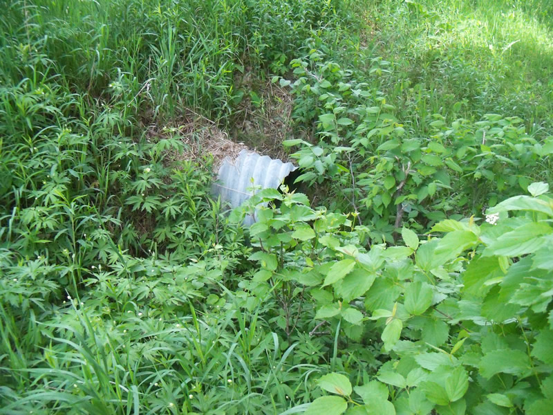
Inlet
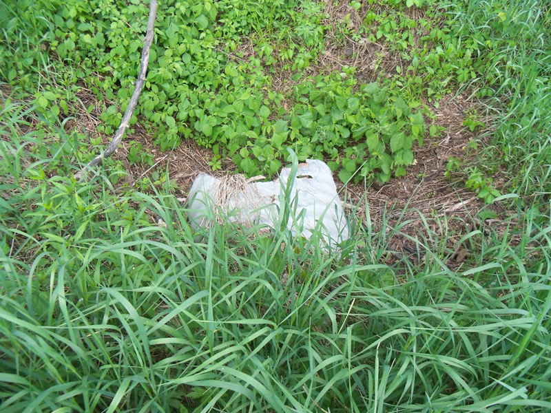
Outlet
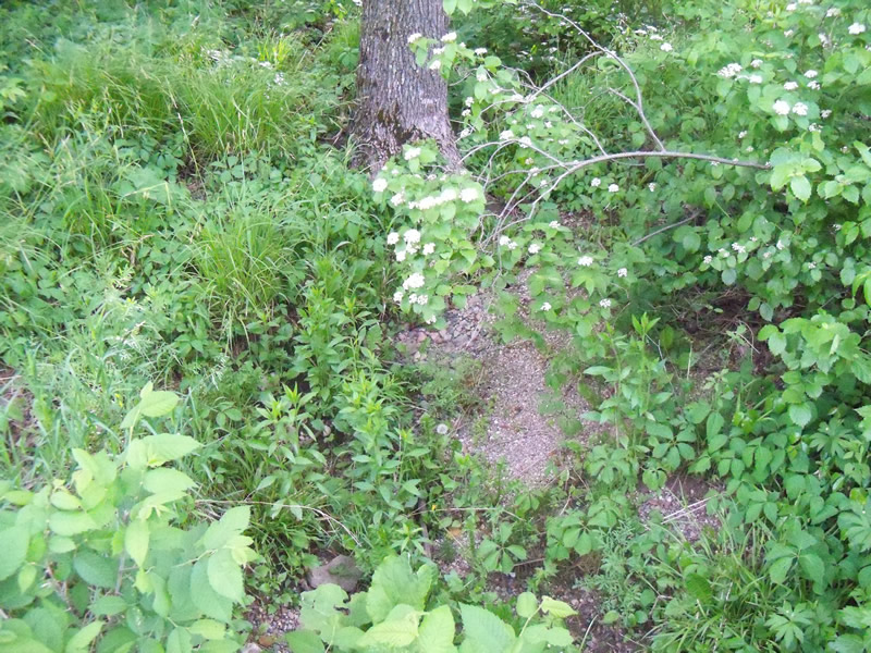
Upstream Conditions
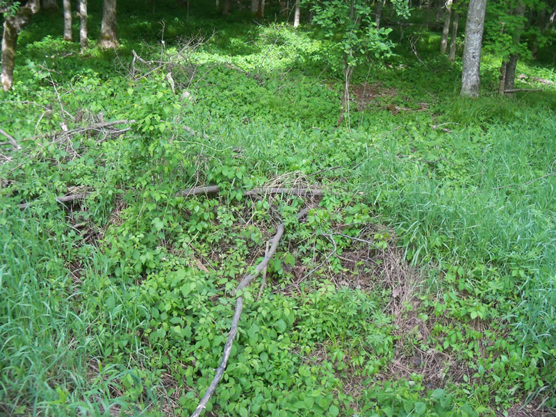
Downstream Conditions
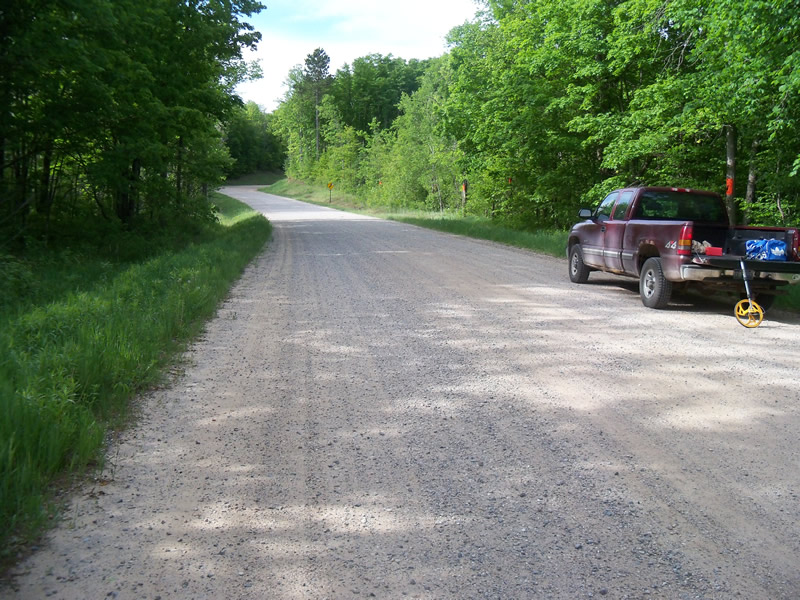
Road Approach - Left
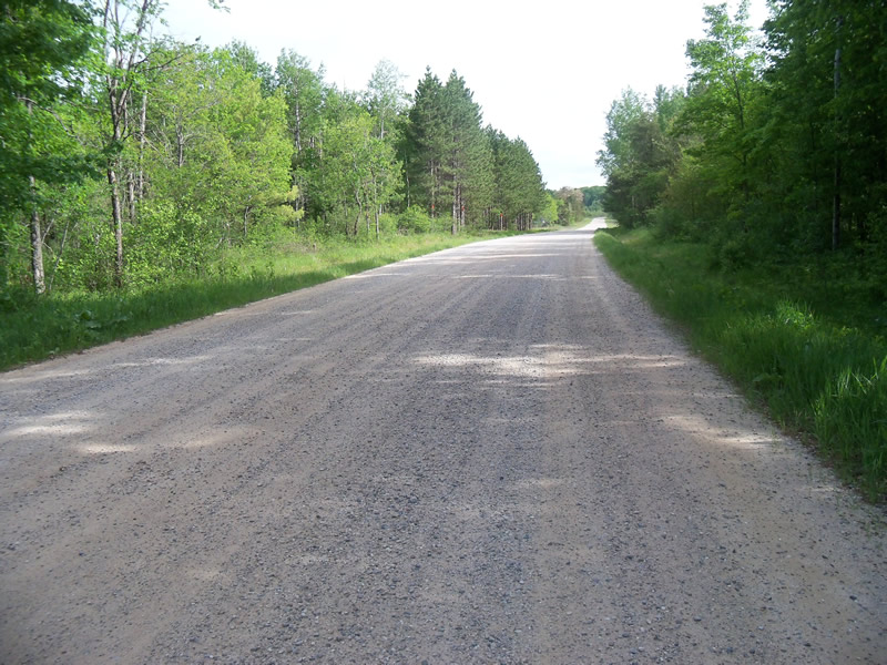
Road Approach - Right
Crossing Information
Type of Crossing: culvert(s)
Number of Structures: 2
Structure Shape: Round
Inlet Type: Projecting
Outlet Type: At Stream Grade
Structure Material: Metal
Structure Substrate: None
General Conditions: Good
Multiple Culverts/Spans | ||||
Culvert/Span | Width | Length | Height | Material |
1 |
2 ft. |
53 ft. |
2 ft. |
Metal |
2 |
3 ft. |
43 ft. |
3 ft. |
Metal |
Structure Interior: corrugated
Dimensions of Structure: Length 53 ft.
, Width 2 ft.
, Height 2 ft.
Percentage Crushed:
Inlet: 0%
Outlet: 1% to 25%
In Pipe: 0%
Structure is NOT Perched
Water Depth: 0 ft.
Embedded Depth of Structure: 0 ft.
Water Velocity*: 0 ft./sec.
Water Depth: 0 ft.
Embedded Depth of Structure: 0 ft.
Water Velocity*: 0 ft./sec.
*Water Velocities were measured at the Surface
(with Meter)
Additional Comments
There is no water so we couldn't tell the inlet from the outlet. Lots of poison ivy around the culverts.
Stream Information
Stream Flow: None
Scour Pool: Length 0 ft.
, Width 0 ft.
, Depth 0 ft.
Upstream Pond: Length 0 ft.
, Width 0 ft.
, Depth 0 ft.
Riffle Information
Water Depth: 0 ft.
Bankfull Width: 0 ft.
Wetted Width: 0 ft.
Water Velocity: 0 ft./sec.
Road Information
Gravel
County Road
Road Condition: Good
Road Width at Culvert: 29 ft.
Location of Low Point: At Stream
Runoff Path: Ditch
Embankments
Upstream
Fill Depth: 2 ft.
Slope: More than 1:2
Downstream
Fill Depth: 2 ft.
Slope: More than 1:2
Approaches
Left Approach
Length: 1000 ft.
Slope: 1% to 5%
Vegetation: Heavy
LS Factor: 0.57
Erosion: 4.5537 tons/year
Right Approach
Length: 236.7 ft.
Slope: Less Than 1%
Vegetation: Heavy
LS Factor: 0.05
Erosion: 0.0945 tons/year
Erosion Information
Total Erosion at Crossing: 4.6483 tons/year
Summary Information
Fish Passability 0.5
A future visit to this site is recommended. To see if there is stream flow at other times so that the function of the culverts can be better evaluated.
These non-native species were observerd at this site: Sweet Clover, Spotted Knapweed