
Road Stream Crossing Site AUS_OS169
Au Sable River Watershed, Marsh Creek
Weaver Rd
Comins Twp,
Oscoda County
Information collected by:

Site Location
GPS Coordinates: 44.70333
, -84.03019
T27N
R03E
Sec 25,26
Owned by Private
Fish Passability 0
Perch Height: 0.1 ft.
Total Erosion: 0.6235 tons/year
Severity: Severe
Year Inventoried: 2013
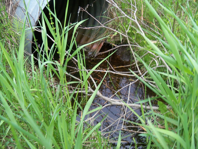
Inlet
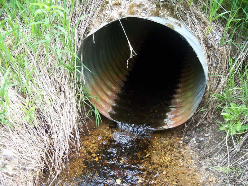
Outlet
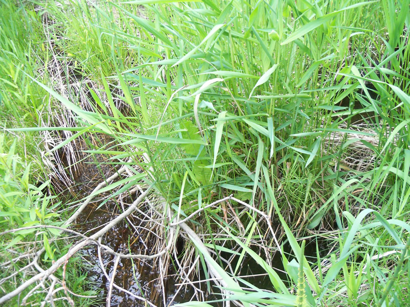
Upstream Conditions
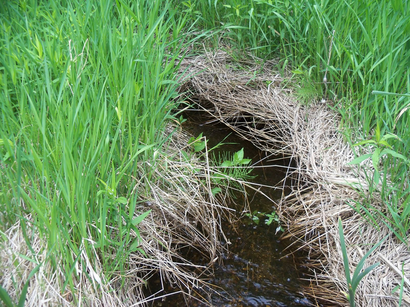
Downstream Conditions
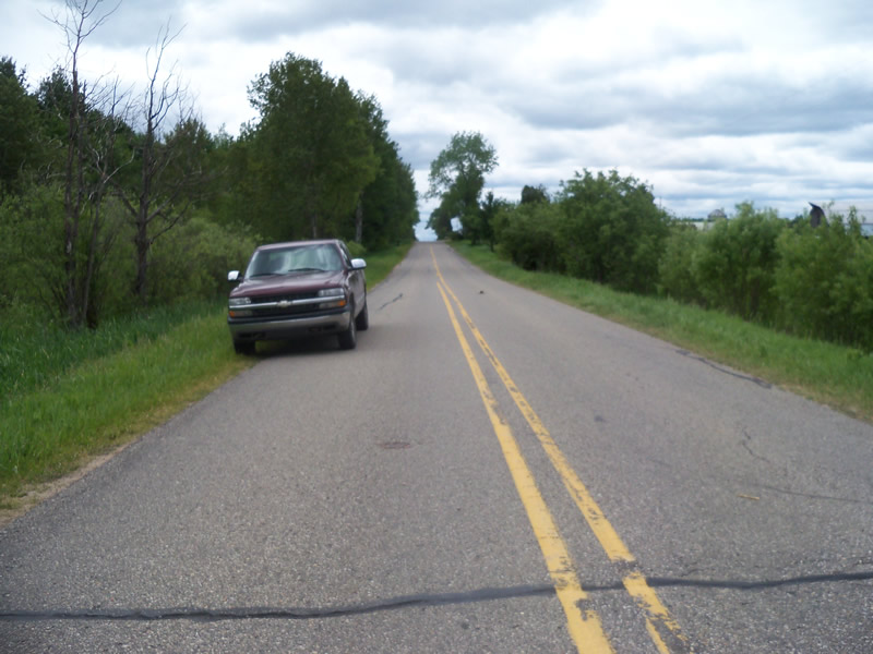
Road Approach - Left
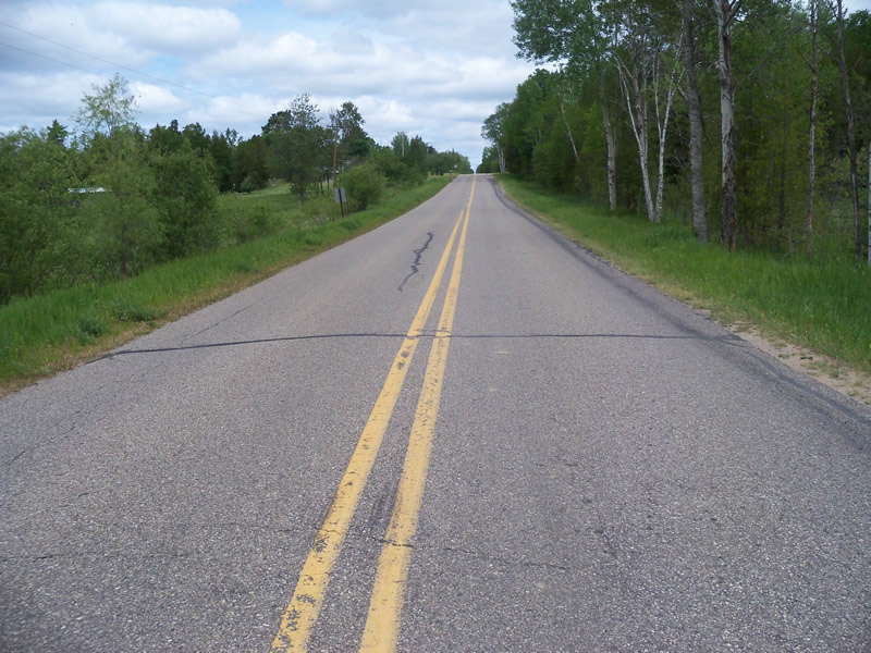
Road Approach - Right
Crossing Information
Type of Crossing: culvert(s)
Number of Structures: 1
Structure Shape: Round
Inlet Type: Projecting
Outlet Type: Freefall into Pool
Structure Material: Metal
Structure Substrate: None
General Conditions: Good
Structure Interior: corrugated
Dimensions of Structure: Length 44 ft.
, Width 2.5 ft.
, Height 2.5 ft.
Percentage Crushed:
Inlet: 0%
Outlet: 0%
In Pipe: 1% to 25%
Perch Height: 0.1 ft.
Structure Inlet
Water Depth: 0.2 ft.
Embedded Depth of Structure: 0 ft.
Water Velocity*: 1.2 ft./sec.
Structure Outlet
Water Depth: 0.2 ft.
Embedded Depth of Structure: 0 ft.
Water Velocity*: 2.1 ft./sec.
*Water Velocities were measured at the Surface
(with Meter)
Additional Comments
Cows are in a pasture directly below the outlet but are fenced away from the stream. On the inlet side it drainsa large marshy area and the road ditches. The culvert may have been replaced since the last inventory, as there was supposed to be a box culvert and this one is a round culvert. The culvert looks fairly new.
Stream Information
Stream Flow: Less than Bankfull
Scour Pool: Length 4.1 ft.
, Width 3.7 ft.
, Depth 0.4 ft.
Upstream Pond: Length 0 ft.
, Width 0 ft.
, Depth 0 ft.
Riffle Information
Water Depth: 0.2 ft.
Bankfull Width: 3 ft.
Wetted Width: 1.5 ft.
Water Velocity: 0.9 ft./sec.
(Measured with Meter)
Dominant Substrate: Gravel
Road Information
Paved
County Road
Road Condition: Fair
Road Width at Culvert: 23 ft.
Location of Low Point: At Stream
Runoff Path: Ditch
Embankments
Upstream
Fill Depth: 1.9 ft.
Slope: More than 1:2
Downstream
Fill Depth: 1.8 ft.
Slope: More than 1:2
Approaches
Left Approach
Length: 706.9 ft.
Slope: 1% to 5%
Vegetation: Heavy
LS Factor: 0.536
Erosion: 0.2881 tons/year
Right Approach
Length: 801.8 ft.
Slope: 1% to 5%
Vegetation: Heavy
LS Factor: 0.55
Erosion: 0.3354 tons/year
Erosion Information
Total Erosion at Crossing: 0.6235 tons/year
Summary Information
Fish Passability 0
Fish Passage is an area of concern for this site.
Yes, the culvert is perched on the outlet side, presenting a barrier to fish passage and creating a scour pool.
A future visit to this site is recommended. The culvert is perched on the outlet side.
These non-native species were observerd at this site: Spotted Knapweed