Road Stream Crossing Site CHAR_BA01
Lake Charlevoix Watershed, Horton Creek
Boyne City Rd
Bay Twp,
Charlevoix County
Information collected by:
Site Location
GPS Coordinates: 45.28839
, -85.08646
T33N
R06W
Sec 6
Owned by Private
Structure is NOT Perched
Total Erosion: 3.3917 tons/year
Severity: Severe
Year Inventoried: 2011
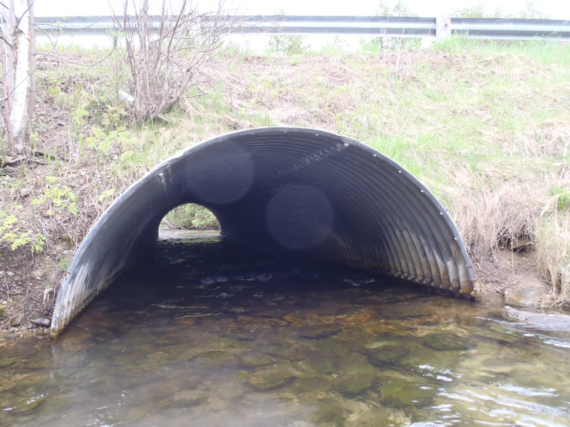
Inlet
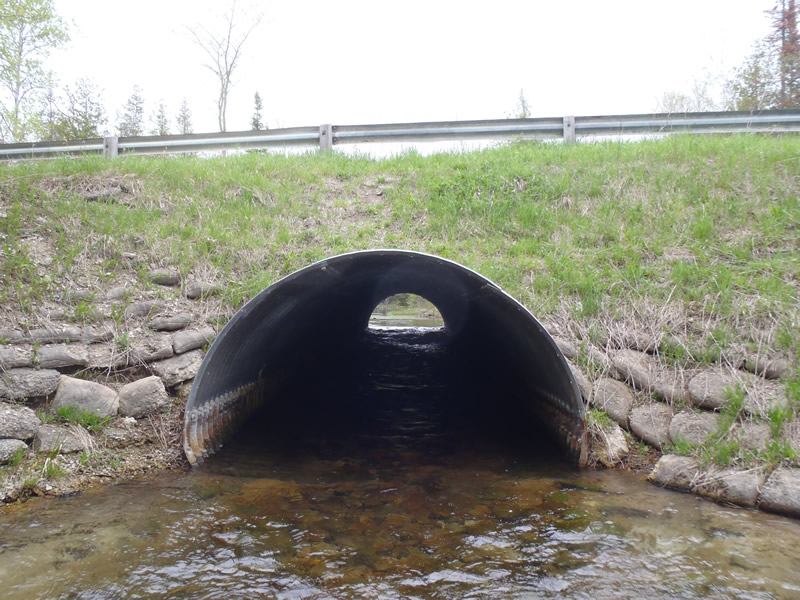
Outlet
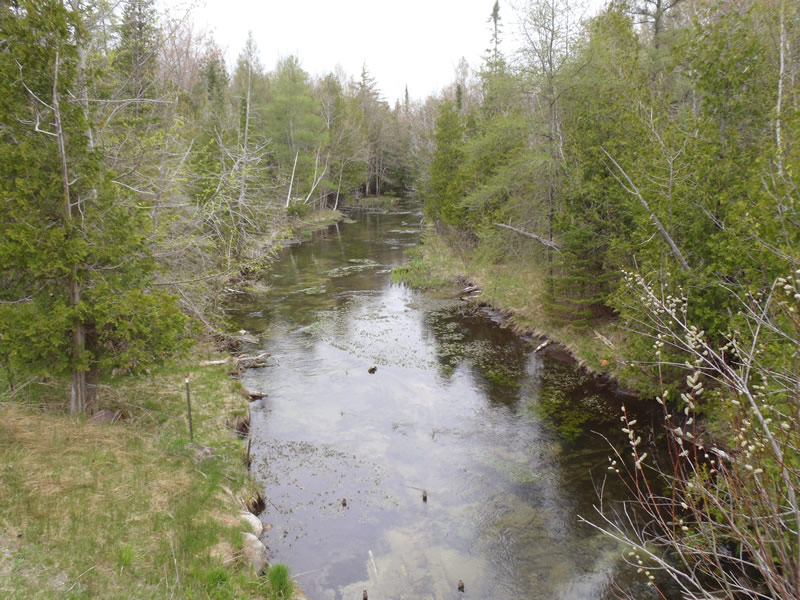
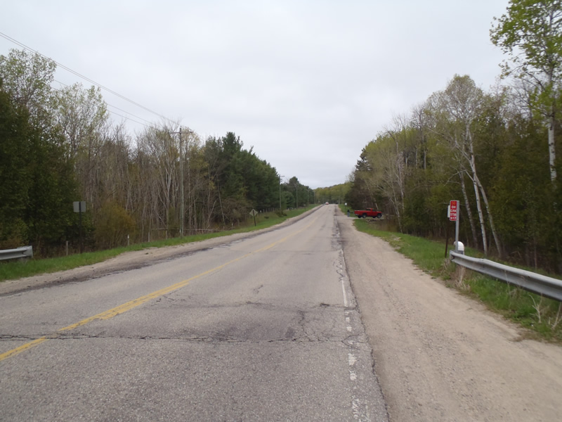
Upstream Conditions
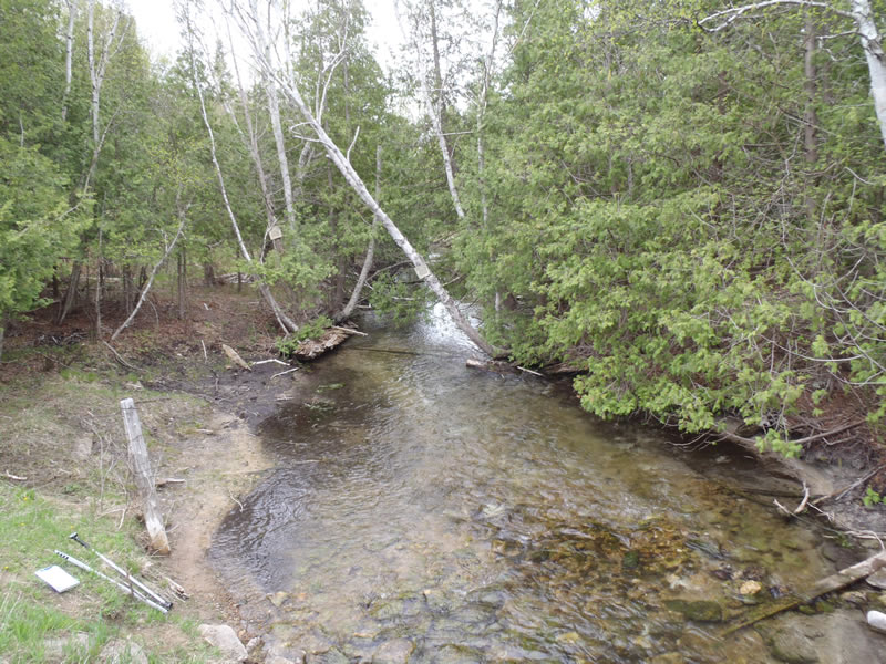
Downstream Conditions
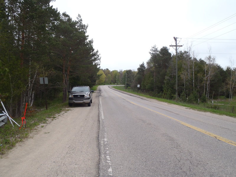
Road Approach - Left
Road Approach - Right
Crossing Information
Type of Crossing: culvert(s)
Number of Structures: 1
Structure Shape: Pipe Arch
Inlet Type: Projecting
Outlet Type: At Stream Grade
Structure Material: Metal
Structure Substrate: Rock
General Conditions: Good
Structure Interior: corrugated
Dimensions of Structure: Length 70 ft.
, Width 10 ft.
, Height 6.8 ft.
Structure is NOT Perched
Structure Inlet
Water Depth: 1.36 ft.
Embedded Depth of Structure: 0.8 ft.
Water Velocity*: 2 ft./sec.
Structure Outlet
Water Depth: 1.09 ft.
Embedded Depth of Structure: 0 ft.
Water Velocity*: 1.9 ft./sec.
*Water Velocities were measured 0.7 ft. below Surface
(with Meter)
Stream Information
Stream Flow: Less than 1/2 Bankfull
Riffle Information
Water Depth: 1.16 ft.
Bankfull Width: 22 ft.
Wetted Width: 21 ft.
Water Velocity: 0.9 ft./sec.
(Measured with Meter)
Dominant Substrate: Sand
Road Information
Paved
County Road
Road Condition: Fair
Road Width at Culvert: 36 ft.
Location of Low Point: At Stream
Runoff Path: Ditch
Embankments
Upstream
Fill Depth: 11.2 ft.
Slope: Vertical
Downstream
Fill Depth: 11.2 ft.
Slope: Vertical
Approaches
Left Approach
Length: 1000 ft.
Slope: 6% to 10%
Vegetation: Heavy
LS Factor: 2.05
Erosion: 2.4397 tons/year
Right Approach
Length: 1000 ft.
Slope: 1% to 5%
Vegetation: Partial
LS Factor: 0.8
Erosion: 0.9521 tons/year
Erosion Information
Total Erosion at Crossing: 3.3917 tons/year
Extent of Erosion: Minor
Notes:
Marl present both upstream and downstream.
Summary Information
Fish Passage is an area of concern for this site.
Riprap cascade about 0.8 feet high within structure near inlet.
�